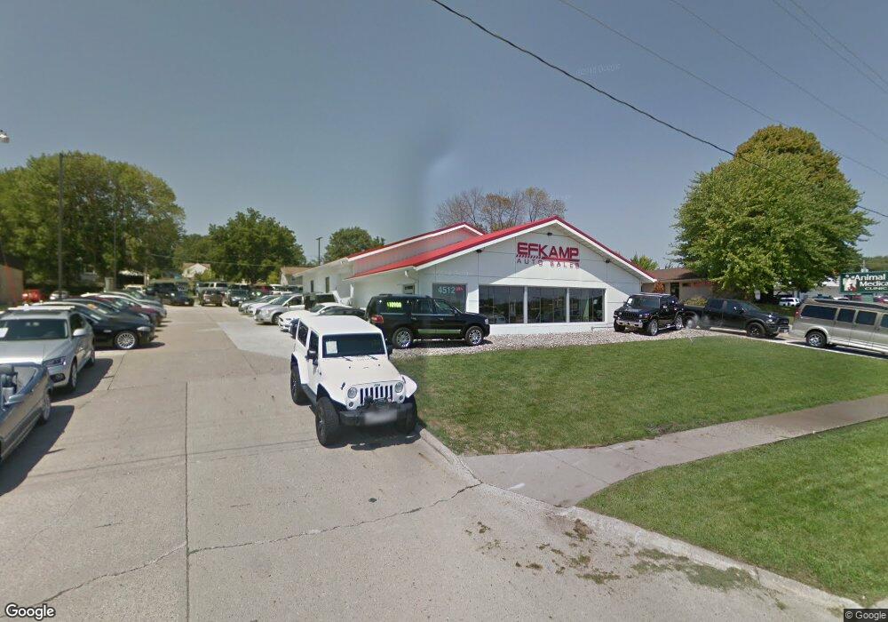
4512 Merle Hay Rd Des Moines, IA 50310
Estimated Value: $695,583
3
Beds
2
Baths
5,600
Sq Ft
$124/Sq Ft
Est. Value
About This Home
This home is located at 4512 Merle Hay Rd, Des Moines, IA 50310 and is currently estimated at $695,583, approximately $124 per square foot. 4512 Merle Hay Rd is a home located in Polk County with nearby schools including Urbandale Middle School, Urbandale High School, and St Pius X School.
Ownership History
Date
Name
Owned For
Owner Type
Purchase Details
Closed on
Mar 9, 2017
Sold by
S & E Holdings
Bought by
Efkamp Auto Sale
Current Estimated Value
Home Financials for this Owner
Home Financials are based on the most recent Mortgage that was taken out on this home.
Original Mortgage
$600,000
Interest Rate
4.17%
Mortgage Type
Future Advance Clause Open End Mortgage
Purchase Details
Closed on
Jun 1, 2005
Sold by
Iowa District Council Of The Assemblies
Bought by
Kc Holdings Inc
Create a Home Valuation Report for This Property
The Home Valuation Report is an in-depth analysis detailing your home's value as well as a comparison with similar homes in the area
Home Values in the Area
Average Home Value in this Area
Purchase History
| Date | Buyer | Sale Price | Title Company |
|---|---|---|---|
| Efkamp Auto Sale | -- | None Available | |
| Kc Holdings Inc | -- | None Available |
Source: Public Records
Mortgage History
| Date | Status | Borrower | Loan Amount |
|---|---|---|---|
| Previous Owner | Efkamp Auto Sale | $600,000 |
Source: Public Records
Tax History Compared to Growth
Tax History
| Year | Tax Paid | Tax Assessment Tax Assessment Total Assessment is a certain percentage of the fair market value that is determined by local assessors to be the total taxable value of land and additions on the property. | Land | Improvement |
|---|---|---|---|---|
| 2025 | $17,350 | $645,000 | $344,000 | $301,000 |
| 2024 | $17,350 | $566,000 | $302,000 | $264,000 |
| 2023 | $14,668 | $566,000 | $302,000 | $264,000 |
| 2022 | $16,716 | $474,000 | $253,000 | $221,000 |
| 2021 | $16,398 | $474,000 | $253,000 | $221,000 |
| 2020 | $16,514 | $460,000 | $230,000 | $230,000 |
| 2019 | $15,142 | $460,000 | $230,000 | $230,000 |
| 2018 | $13,926 | $273,540 | $142,600 | $130,940 |
| 2017 | $9,844 | $251,000 | $142,410 | $108,590 |
| 2016 | $9,918 | $231,260 | $118,730 | $112,530 |
| 2015 | $9,918 | $231,260 | $118,730 | $112,530 |
| 2014 | $10,570 | $365,000 | $191,500 | $173,500 |
Source: Public Records
Map
Nearby Homes
- 4507 60th St
- 4503 61st St
- 4503 62nd St
- 5583 Meredith Dr Unit 5C
- 4237 62nd St
- 4405 64th St
- 6404 Meredith Dr
- 4501 65th St
- 5916 Sutton Place Unit 1
- 4210 62nd St Unit 2
- 4213 62nd St Unit 2
- 4212 62nd St Unit 5
- 4211 62nd St Unit 1
- 4202 62nd St Unit 6
- 4848 63rd St
- 4200 62nd St Unit 2
- 4629 66th St
- 4149 56th St
- 4865 NW Piekenbrock Dr
- 4511 67th St
- 4500 Merle Hay Rd
- 4510 59th St
- 4508 59th St
- 4512 59th St
- 4516 59th St
- 4420 59th St
- 4418 59th St Unit 9
- 4511 60th St
- 4509 60th St
- 4414 59th St Unit 8
- 4513 60th St
- 4412 59th St Unit 7
- 4505 60th St
- 4517 60th St
- 4521 60th St
- 4421 60th St
- 5908 Meredith Dr
- 5901 Townsend Ave Unit 1
- 4419 60th St
- 5903 Townsend Ave Unit 2