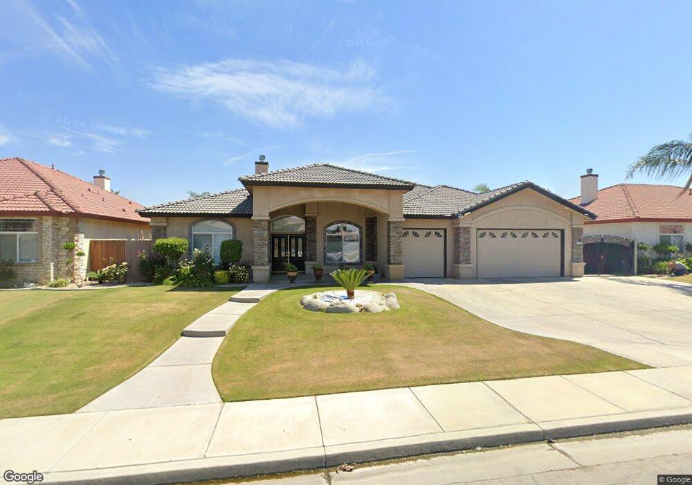
4513 Lonerock Ave Bakersfield, CA 93313
Stone Creek NeighborhoodEstimated Value: $523,000 - $610,000
4
Beds
3
Baths
2,767
Sq Ft
$204/Sq Ft
Est. Value
About This Home
This home is located at 4513 Lonerock Ave, Bakersfield, CA 93313 and is currently estimated at $565,002, approximately $204 per square foot. 4513 Lonerock Ave is a home located in Kern County with nearby schools including Panama Elementary School, Stonecreek Junior High School, and Ridgeview High School.
Ownership History
Date
Name
Owned For
Owner Type
Purchase Details
Closed on
Dec 4, 2013
Sold by
Sarai Narinder K
Bought by
Sarai Jasbir Sing
Current Estimated Value
Purchase Details
Closed on
Jul 12, 2010
Sold by
Sarai Jasbir Signh
Bought by
Sarai Narinder K
Purchase Details
Closed on
Jul 7, 2010
Sold by
Rubio Fausto and Rubio Irma E
Bought by
Sarai Narinder K
Purchase Details
Closed on
May 11, 2005
Sold by
Rm Development Corp
Bought by
Rubio Fausto and Rubio Irma E
Home Financials for this Owner
Home Financials are based on the most recent Mortgage that was taken out on this home.
Original Mortgage
$300,000
Interest Rate
5.46%
Mortgage Type
Fannie Mae Freddie Mac
Create a Home Valuation Report for This Property
The Home Valuation Report is an in-depth analysis detailing your home's value as well as a comparison with similar homes in the area
Home Values in the Area
Average Home Value in this Area
Purchase History
| Date | Buyer | Sale Price | Title Company |
|---|---|---|---|
| Sarai Jasbir Sing | -- | None Available | |
| Sarai Narinder K | -- | Stewart Title Of California | |
| Sarai Narinder K | $243,000 | Stewart Title Of California | |
| Rubio Fausto | $449,000 | Alliance Title |
Source: Public Records
Mortgage History
| Date | Status | Borrower | Loan Amount |
|---|---|---|---|
| Previous Owner | Rubio Fausto | $300,000 |
Source: Public Records
Tax History
| Year | Tax Paid | Tax Assessment Tax Assessment Total Assessment is a certain percentage of the fair market value that is determined by local assessors to be the total taxable value of land and additions on the property. | Land | Improvement |
|---|---|---|---|---|
| 2025 | $4,281 | $311,315 | $64,052 | $247,263 |
| 2024 | $4,211 | $305,212 | $62,797 | $242,415 |
| 2023 | $4,211 | $299,228 | $61,566 | $237,662 |
| 2022 | $4,042 | $293,361 | $60,359 | $233,002 |
| 2021 | $3,925 | $287,610 | $59,176 | $228,434 |
| 2020 | $3,871 | $284,662 | $58,570 | $226,092 |
| 2019 | $3,822 | $284,662 | $58,570 | $226,092 |
| 2018 | $3,662 | $273,610 | $56,297 | $217,313 |
| 2017 | $3,596 | $268,246 | $55,194 | $213,052 |
| 2016 | $3,388 | $262,987 | $54,112 | $208,875 |
| 2015 | $3,369 | $259,038 | $53,300 | $205,738 |
| 2014 | $3,286 | $253,964 | $52,256 | $201,708 |
Source: Public Records
Map
Nearby Homes
- 4403 Oceanrock Ave
- 5005 Green Clover Ave Unit 1
- 5015 Silver Clover Ave
- 5103 Green Clover Ave
- 4017 Rolling Rock Ave
- 9506 Orchard Grass Ct
- 9202 Mcclintock Rd
- 5407 Red Wheat Ave
- 8711 Dalby Ct
- 3611 Bridget Ave
- 3527 Big Trail Ave
- 3804 Singleton Ave
- 3515 Rio Grande Ln
- 9623 Kanosh Cobble Dr
- 5400 Saddleback Ridge Ct
- 8119 Willoughby Ct
- 9402 Cobble Mountain Rd
- 5612 Mckee Rd
- 3500 Stonecreek Ave
- 3406 Kimmie Rachelle Ct
- 4603 Lonerock Ave
- 4509 Lonerock Ave
- 4600 Idlerock Ave
- 4604 Idlerock Ave
- 4506 Idlerock Ave
- 4607 Lonerock Ave
- 4501 Lonerock Ave
- 4512 Lonerock Ave
- 4608 Idlerock Ave
- 4502 Idlerock Ave
- 4602 Lonerock Ave
- 4508 Lonerock Ave
- 4611 Lonerock Ave
- 4606 Lonerock Ave
- 4612 Idlerock Ave
- 4504 Lonerock Ave
- 4507 Cherryrock Ave
- 4507 Idlerock Ave
- 4601 Idlerock Ave
- 4503 Cherryrock Ave
Your Personal Tour Guide
Ask me questions while you tour the home.