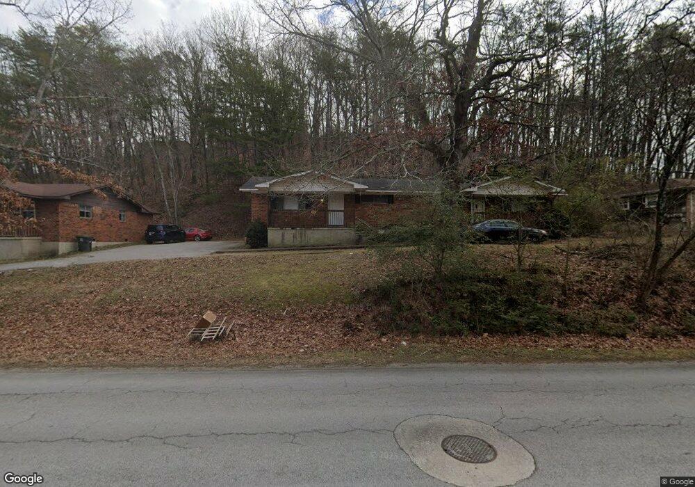
4514 Norcross Rd Unit A Hixson, TN 37343
Dupont NeighborhoodEstimated Value: $293,000 - $334,000
--
Bed
2
Baths
1,809
Sq Ft
$170/Sq Ft
Est. Value
About This Home
This home is located at 4514 Norcross Rd Unit A, Hixson, TN 37343 and is currently estimated at $307,495, approximately $169 per square foot. 4514 Norcross Rd Unit A is a home located in Hamilton County with nearby schools including DuPont Elementary School, St Jude School, and St. Peter's Episcopal School.
Ownership History
Date
Name
Owned For
Owner Type
Purchase Details
Closed on
Oct 31, 2018
Sold by
Pioneer Peak Properties Llc
Bought by
Keef John David and John David Keef Revocable Trust
Current Estimated Value
Home Financials for this Owner
Home Financials are based on the most recent Mortgage that was taken out on this home.
Original Mortgage
$82,500
Outstanding Balance
$72,244
Interest Rate
4.6%
Mortgage Type
New Conventional
Estimated Equity
$235,251
Purchase Details
Closed on
Aug 14, 2013
Sold by
Fugunt Ted and Fugunt Ted E
Bought by
Pioneer Peak Properties Llc
Home Financials for this Owner
Home Financials are based on the most recent Mortgage that was taken out on this home.
Original Mortgage
$1,695,000
Interest Rate
4.29%
Mortgage Type
Future Advance Clause Open End Mortgage
Create a Home Valuation Report for This Property
The Home Valuation Report is an in-depth analysis detailing your home's value as well as a comparison with similar homes in the area
Home Values in the Area
Average Home Value in this Area
Purchase History
| Date | Buyer | Sale Price | Title Company |
|---|---|---|---|
| Keef John David | $110,000 | First Title | |
| Pioneer Peak Properties Llc | $2,260,000 | Title Guaranty & Trust Compa |
Source: Public Records
Mortgage History
| Date | Status | Borrower | Loan Amount |
|---|---|---|---|
| Open | Keef John David | $82,500 | |
| Previous Owner | Pioneer Peak Properties Llc | $1,695,000 |
Source: Public Records
Tax History Compared to Growth
Tax History
| Year | Tax Paid | Tax Assessment Tax Assessment Total Assessment is a certain percentage of the fair market value that is determined by local assessors to be the total taxable value of land and additions on the property. | Land | Improvement |
|---|---|---|---|---|
| 2024 | $1,316 | $58,800 | $0 | $0 |
| 2023 | $1,316 | $58,800 | $0 | $0 |
| 2022 | $1,316 | $58,800 | $0 | $0 |
| 2021 | $1,316 | $58,800 | $0 | $0 |
| 2020 | $974 | $35,240 | $0 | $0 |
| 2019 | $974 | $35,240 | $0 | $0 |
| 2018 | $929 | $35,240 | $0 | $0 |
| 2017 | $974 | $35,240 | $0 | $0 |
| 2016 | $896 | $0 | $0 | $0 |
| 2015 | $1,759 | $32,400 | $0 | $0 |
| 2014 | $1,759 | $0 | $0 | $0 |
Source: Public Records
Map
Nearby Homes
- 1313 Michael Ln
- 1328 Michael Ln
- 4607 Cloverdale Loop
- 4706 Eldridge Rd
- 810 Forest Dale Ln
- 4739 Tessie Ln
- 1237 Cranbrook Dr
- 4810 Delashmitt Rd
- 1428 Highcrest Dr
- 4609 Plaza Hills Ln
- 507 Heidi Cir
- 1638 Green Hill Dr
- 5307 Delashmitt Rd
- 1329 Highland Way
- 5227 Lawana Ln
- 955 Brynwood Dr
- 4529 Sherry Ln
- 1716 Strawberry Ln
- 1004 Brynehill Ln
- 1325 Highland Rd
- 4514 Norcross Rd
- 4510 Norcross Rd
- 4518 Norcross Rd
- 1301 Michael Ln
- 4504 Norcross Rd
- 4504 Norcross Rd Unit 1
- 4522 Norcross Rd
- 4505 Norcross Rd
- 1300 Terry Ln
- 1304 Michael Ln
- 4502 Norcross Rd
- 4502 Norcross Rd Unit B
- 4529 Cloverdale Loop
- 1305 Michael Ln
- 4527 Cloverdale Loop
- 4501 Norcross Rd
- 4525 Cloverdale Loop
- 1304 Terry Ln
- 1308 Michael Ln
- 4500 Norcross Rd