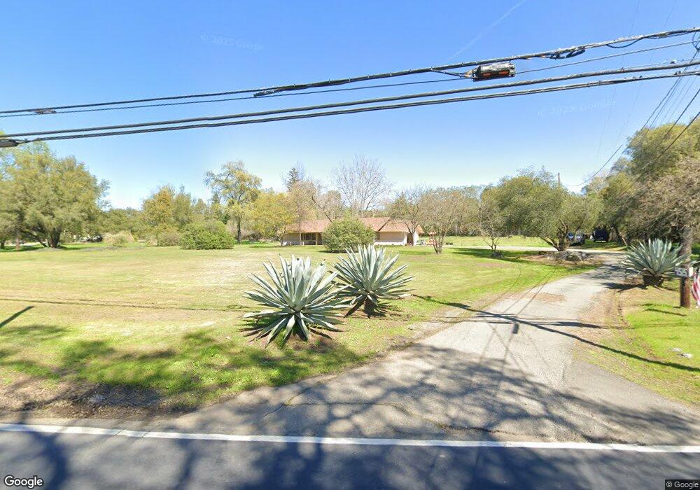
4515 Laird Rd Loomis, CA 95650
Estimated Value: $575,000 - $1,141,000
3
Beds
3
Baths
1,844
Sq Ft
$501/Sq Ft
Est. Value
About This Home
This home is located at 4515 Laird Rd, Loomis, CA 95650 and is currently estimated at $924,169, approximately $501 per square foot. 4515 Laird Rd is a home located in Placer County with nearby schools including Del Oro High School, Loomis Basin Charter School, and Sierra Foothills Academy.
Ownership History
Date
Name
Owned For
Owner Type
Purchase Details
Closed on
Apr 19, 2013
Sold by
Williams Dean J
Bought by
Dean Williams Properties Llc
Current Estimated Value
Purchase Details
Closed on
Feb 7, 2013
Sold by
Williams Michael H and Williams Dean J
Bought by
Williams Dean J
Purchase Details
Closed on
Mar 8, 2011
Sold by
Williams Thea
Bought by
Williams Thea
Purchase Details
Closed on
Oct 8, 1996
Sold by
Williams Harold C and Williams Theodora T
Bought by
Williams Harold C and Williams Thea
Create a Home Valuation Report for This Property
The Home Valuation Report is an in-depth analysis detailing your home's value as well as a comparison with similar homes in the area
Home Values in the Area
Average Home Value in this Area
Purchase History
| Date | Buyer | Sale Price | Title Company |
|---|---|---|---|
| Dean Williams Properties Llc | -- | None Available | |
| Williams Dean J | -- | None Available | |
| Williams Thea | -- | None Available | |
| Williams Harold C | -- | -- |
Source: Public Records
Tax History
| Year | Tax Paid | Tax Assessment Tax Assessment Total Assessment is a certain percentage of the fair market value that is determined by local assessors to be the total taxable value of land and additions on the property. | Land | Improvement |
|---|---|---|---|---|
| 2025 | $2,262 | $176,538 | $27,340 | $149,198 |
| 2023 | $2,262 | $169,684 | $26,279 | $143,405 |
| 2022 | $2,204 | $166,358 | $25,764 | $140,594 |
| 2021 | $2,143 | $163,097 | $25,259 | $137,838 |
| 2020 | $2,113 | $161,425 | $25,000 | $136,425 |
| 2019 | $2,075 | $158,260 | $24,510 | $133,750 |
| 2018 | $1,970 | $155,158 | $24,030 | $131,128 |
| 2017 | $1,933 | $152,116 | $23,559 | $128,557 |
| 2016 | $1,888 | $149,135 | $23,098 | $126,037 |
| 2015 | $1,775 | $146,896 | $22,752 | $124,144 |
| 2014 | $1,743 | $144,020 | $22,307 | $121,713 |
Source: Public Records
Map
Nearby Homes
- 5 Wishing Well Rd
- 4 Wishing Well Rd
- 6 Wishing Well Rd
- 7125 Loomis Hills Rd
- 6348 Horseshoe Bar Rd
- 1000 Creekside Ln
- 5740 Golden Pond Dr
- 5726 Secret Creek Dr
- 5751 Golden Pond Dr
- 5638 Lakepointe Dr
- 7730 Suzuki Ln
- 6806-Lot 25 Rutherford Canyon Rd
- 4804 Tadpole Place
- 6154 S Walnut St Unit 40
- 4051 Pauline Cir
- 3955 Stonegate Ct
- 3838 Circle Dr
- 7801 Law Ln
- 4127 Hunters Dr
- 5331 Barton Rd
- 4469 Laird Rd
- 4479 Laird Rd
- 4514 Laird Rd
- 6755 Napoleon Dr
- 6806 White Ln
- 6755 Wishing Well Way
- 4410 Laird Rd
- 6810 White Ln
- 4600 Laird Rd
- 6804 White Ln
- 6675 Wishing Well Way
- 6810 Napoleon Dr
- 4371 Laird Rd
- 4561 Laird Rd
- 6714 Wishing Well Way
- 6840 Napoleon Dr
- 4364 Laird Rd
- 6854 White Ln
- 6647 Wishing Well Way
- 6801 White Ln
Your Personal Tour Guide
Ask me questions while you tour the home.