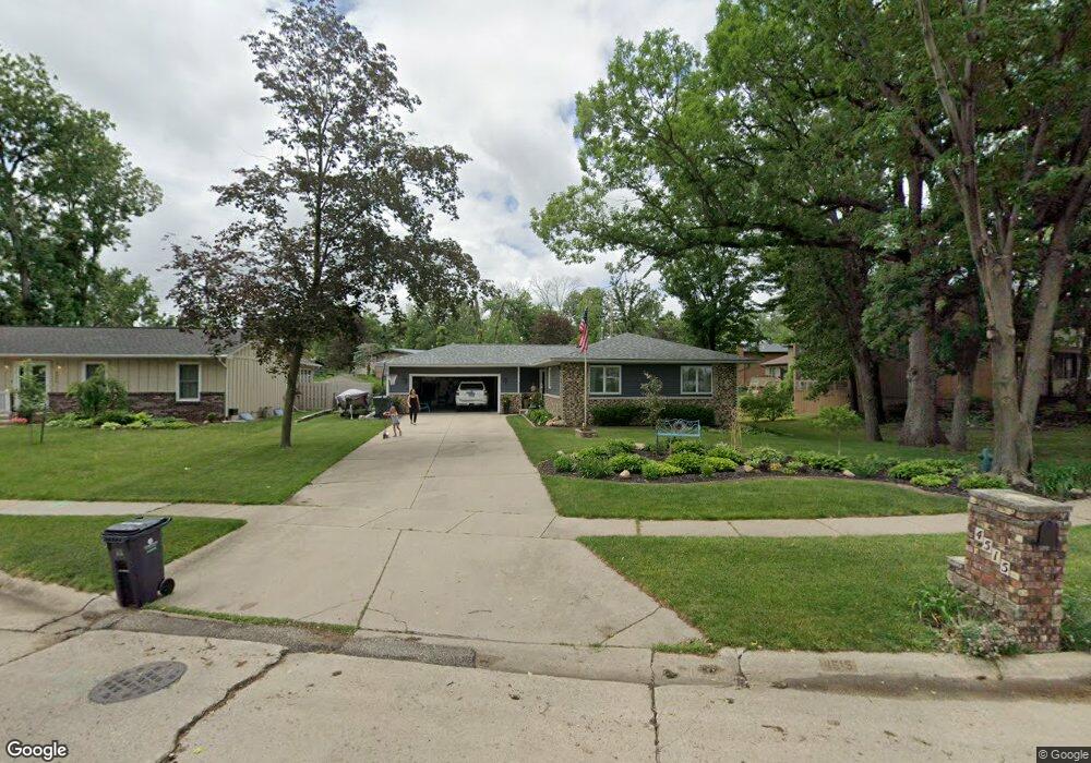
4515 Lorcardo Dr NE Cedar Rapids, IA 52402
Estimated Value: $242,000 - $263,000
3
Beds
3
Baths
1,324
Sq Ft
$192/Sq Ft
Est. Value
About This Home
This home is located at 4515 Lorcardo Dr NE, Cedar Rapids, IA 52402 and is currently estimated at $254,354, approximately $192 per square foot. 4515 Lorcardo Dr NE is a home located in Linn County with nearby schools including Pierce Elementary School, Franklin Middle School, and John F. Kennedy High School.
Ownership History
Date
Name
Owned For
Owner Type
Purchase Details
Closed on
Aug 30, 2018
Sold by
Gillmore Gerry L
Bought by
Kohl Bret A and Latare Deborah S
Current Estimated Value
Home Financials for this Owner
Home Financials are based on the most recent Mortgage that was taken out on this home.
Original Mortgage
$148,900
Outstanding Balance
$111,104
Interest Rate
4.5%
Mortgage Type
New Conventional
Estimated Equity
$143,250
Create a Home Valuation Report for This Property
The Home Valuation Report is an in-depth analysis detailing your home's value as well as a comparison with similar homes in the area
Home Values in the Area
Average Home Value in this Area
Purchase History
| Date | Buyer | Sale Price | Title Company |
|---|---|---|---|
| Kohl Bret A | $185,000 | None Available |
Source: Public Records
Mortgage History
| Date | Status | Borrower | Loan Amount |
|---|---|---|---|
| Open | Kohl Bret A | $148,900 |
Source: Public Records
Tax History Compared to Growth
Tax History
| Year | Tax Paid | Tax Assessment Tax Assessment Total Assessment is a certain percentage of the fair market value that is determined by local assessors to be the total taxable value of land and additions on the property. | Land | Improvement |
|---|---|---|---|---|
| 2025 | $3,904 | $229,100 | $47,200 | $181,900 |
| 2024 | $4,210 | $220,600 | $41,300 | $179,300 |
| 2023 | $4,210 | $220,600 | $41,300 | $179,300 |
| 2022 | $3,762 | $199,600 | $41,300 | $158,300 |
| 2021 | $3,638 | $181,600 | $39,400 | $142,200 |
| 2020 | $3,638 | $164,900 | $29,500 | $135,400 |
| 2019 | $3,464 | $160,700 | $29,500 | $131,200 |
| 2018 | $3,116 | $160,700 | $29,500 | $131,200 |
| 2017 | $3,116 | $156,600 | $29,500 | $127,100 |
| 2016 | $3,077 | $148,100 | $29,500 | $118,600 |
| 2015 | $3,203 | $153,842 | $29,524 | $124,318 |
| 2014 | $3,018 | $163,002 | $29,524 | $133,478 |
| 2013 | $3,138 | $163,002 | $29,524 | $133,478 |
Source: Public Records
Map
Nearby Homes
- 4216 Marilyn Dr NE
- 2106 42nd St NE
- 4609 White Pine Dr NE
- 3858 Northwood Dr NE
- 2520 Falbrook Dr NE
- 2400 Brookland Dr NE
- 4460 Westchester Dr NE Unit C
- 1638 47th St NE
- 4761 Westchester Dr NE Unit C
- 4545 Westchester Dr NE Unit D
- 4645 Westchester Dr NE Unit A
- 4745 Westchester Dr NE Unit A
- 1006 Messina Dr NE
- 1138 Messina Dr NE
- 2611 Brookland Dr NE
- 5455 Blairs Ferry Rd NE
- 4433 Coventry Ln NE
- 4309 Benton St NE
- 2041 Birchwood Dr NE
- 105 W Willman St
- 4509 Lorcardo Dr NE
- 2183 David Ct NE
- 2189 David Ct NE
- 4512 Fairlane Ct NE
- 4503 Lorcardo Dr NE
- 4506 Fairlane Ct NE
- 2195 David Ct NE
- 4500 Lorcardo Dr NE
- 4417 Lorcardo Dr NE
- 4518 Fairlane Ct NE
- 4815 Fairlane Ct NE
- 4502 Fairlane Dr NE
- 2201 David Ct NE
- 4500 Fairlane Dr NE
- 2180 David Ct NE
- 2184 David Ct NE
- 4413 Lorcardo Dr NE
- 4416 Lorcardo Dr NE
- 4620 Janet Place NE
- 2211 David Ct NE