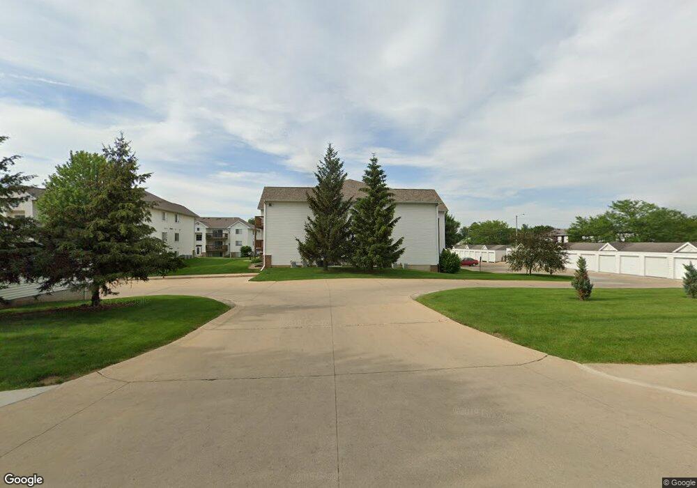
4517 1st Ave SW Cedar Rapids, IA 52405
Estimated Value: $96,000 - $106,000
2
Beds
1
Bath
900
Sq Ft
$110/Sq Ft
Est. Value
About This Home
This home is located at 4517 1st Ave SW, Cedar Rapids, IA 52405 and is currently estimated at $99,363, approximately $110 per square foot. 4517 1st Ave SW is a home located in Linn County with nearby schools including Junction City Elementary School, Hoover Elementary School, and Kentucky Tech - Ashland Reg Tech Center.
Ownership History
Date
Name
Owned For
Owner Type
Purchase Details
Closed on
Aug 31, 2010
Sold by
Wilcox Lisa and Estate Of Donald E Demeulenaer
Bought by
Latta Paul D and Latta Nancy
Current Estimated Value
Purchase Details
Closed on
May 22, 2009
Sold by
Ladwig Scott L
Bought by
Demeulenaere Donald E
Purchase Details
Closed on
May 7, 2008
Sold by
Ladwig Lon Robert and Ladwig Patricia Lynn
Bought by
Dean Bonnie L and The Bonnie L Dean Revocable Trust
Purchase Details
Closed on
Apr 30, 2008
Sold by
Schulz Randi Rae and Schulz Richard Erwin
Bought by
Dean Bonnie L and The Bonnie L Dean Revocable Trust
Purchase Details
Closed on
Oct 2, 1997
Sold by
Wells & Ambrose Development Co Inc
Bought by
Dean Bonnie L
Home Financials for this Owner
Home Financials are based on the most recent Mortgage that was taken out on this home.
Original Mortgage
$32,000
Interest Rate
7.7%
Create a Home Valuation Report for This Property
The Home Valuation Report is an in-depth analysis detailing your home's value as well as a comparison with similar homes in the area
Home Values in the Area
Average Home Value in this Area
Purchase History
| Date | Buyer | Sale Price | Title Company |
|---|---|---|---|
| Latta Paul D | $71,500 | None Available | |
| Demeulenaere Donald E | $72,500 | None Available | |
| Dean Bonnie L | -- | None Available | |
| Dean Bonnie L | -- | None Available | |
| Dean Bonnie L | $62,500 | -- |
Source: Public Records
Mortgage History
| Date | Status | Borrower | Loan Amount |
|---|---|---|---|
| Previous Owner | Dean Bonnie L | $32,000 |
Source: Public Records
Tax History Compared to Growth
Tax History
| Year | Tax Paid | Tax Assessment Tax Assessment Total Assessment is a certain percentage of the fair market value that is determined by local assessors to be the total taxable value of land and additions on the property. | Land | Improvement |
|---|---|---|---|---|
| 2025 | $1,236 | $95,000 | $13,000 | $82,000 |
| 2024 | $1,424 | $87,300 | $13,000 | $74,300 |
| 2023 | $1,424 | $87,300 | $13,000 | $74,300 |
| 2022 | $1,360 | $76,400 | $10,000 | $66,400 |
| 2021 | $1,396 | $74,600 | $10,000 | $64,600 |
| 2020 | $1,396 | $71,900 | $10,000 | $61,900 |
| 2019 | $1,252 | $66,600 | $10,000 | $56,600 |
| 2018 | $1,182 | $66,600 | $10,000 | $56,600 |
| 2017 | $1,182 | $63,600 | $5,000 | $58,600 |
| 2016 | $1,351 | $63,600 | $5,000 | $58,600 |
| 2015 | $1,166 | $64,692 | $5,000 | $59,692 |
| 2014 | $1,192 | $64,692 | $5,000 | $59,692 |
| 2013 | -- | $64,692 | $5,000 | $59,692 |
Source: Public Records
Map
Nearby Homes
- 4619 1st Ave SW Unit 3
- 4622 1st Ave NW Unit E
- 3724 2nd Ave SW
- 229 Jacolyn Dr NW
- 236 Jacolyn Dr NW
- 208 Lenora Dr NW
- 56 Julia Ann Dr NW
- 4101 16th Ave SW Unit 64A
- 106 Leroy St NW
- 4975 Kesler Rd NW
- 4819 Ford Ave NW
- 5127 Holly Ave NW
- 150 Meadowlark Ln NW
- 272 Peace Ave NW
- 281 Jacolyn Dr NW
- 3918 21st Avenue Place SW
- 3403 1st Ave SW
- 323 Norwick Rd SW
- 3416 Sue Ln NW
- 2335 Wiley Blvd SW
- 4505 1st Ave SW Unit 1
- 4517 1st Ave SW Unit 11
- 4517 1st Ave SW
- 4517 1st Ave SW Unit 9
- 4517 1st Ave SW
- 4517 1st Ave SW Unit 7
- 4517 1st Ave SW Unit 6
- 4517 1st Ave SW
- 4517 1st Ave SW
- 4517 1st Ave SW
- 4517 1st Ave SW Unit 1
- 4505 1st Ave SW
- 4505 1st Ave SW Unit 10
- 4505 1st Ave SW
- 4505 1st Ave SW
- 4505 1st Ave SW
- 4505 1st Ave SW
- 4505 1st Ave SW Unit 5
- 4505 1st Ave SW
- 4505 1st Ave SW