4517 Carter Dr Medina, OH 44256
Estimated Value: $568,000 - $1,018,531
3
Beds
4
Baths
3,769
Sq Ft
$237/Sq Ft
Est. Value
About This Home
This home is located at 4517 Carter Dr, Medina, OH 44256 and is currently estimated at $893,633, approximately $237 per square foot. 4517 Carter Dr is a home located in Medina County with nearby schools including Highland Middle School and Highland High School.
Ownership History
Date
Name
Owned For
Owner Type
Purchase Details
Closed on
Jun 2, 2020
Sold by
Remington Timothy and Melinda A Remington Trust
Bought by
Remington Timothy E and Timothy E Remington Trust
Current Estimated Value
Purchase Details
Closed on
Jan 6, 2020
Sold by
Estate Of Melinda A Remington
Bought by
Melinda A Remington Trust
Purchase Details
Closed on
Nov 12, 1996
Sold by
Plantation Development Ltd
Bought by
Remington Melinda A
Create a Home Valuation Report for This Property
The Home Valuation Report is an in-depth analysis detailing your home's value as well as a comparison with similar homes in the area
Home Values in the Area
Average Home Value in this Area
Purchase History
| Date | Buyer | Sale Price | Title Company |
|---|---|---|---|
| Remington Timothy E | -- | None Available | |
| Melinda A Remington Trust | -- | None Available | |
| Remington Melinda A | $87,000 | Buckeye Reserve Title Agency |
Source: Public Records
Tax History Compared to Growth
Tax History
| Year | Tax Paid | Tax Assessment Tax Assessment Total Assessment is a certain percentage of the fair market value that is determined by local assessors to be the total taxable value of land and additions on the property. | Land | Improvement |
|---|---|---|---|---|
| 2024 | $12,190 | $305,690 | $47,790 | $257,900 |
| 2023 | $12,190 | $305,690 | $47,790 | $257,900 |
| 2022 | $11,630 | $305,690 | $47,790 | $257,900 |
| 2021 | $10,231 | $235,150 | $36,760 | $198,390 |
| 2020 | $10,686 | $235,150 | $36,760 | $198,390 |
| 2019 | $10,722 | $235,150 | $36,760 | $198,390 |
| 2018 | $10,079 | $211,610 | $30,690 | $180,920 |
| 2017 | $10,106 | $211,610 | $30,690 | $180,920 |
| 2016 | $9,567 | $211,610 | $30,690 | $180,920 |
| 2015 | $9,273 | $197,760 | $28,680 | $169,080 |
| 2014 | $9,240 | $197,760 | $28,680 | $169,080 |
| 2013 | $9,258 | $197,760 | $28,680 | $169,080 |
Source: Public Records
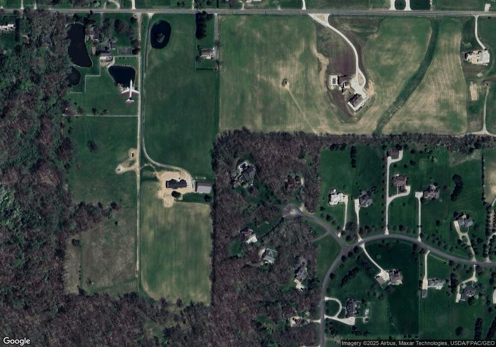
Map
Nearby Homes
- V/L Granger Rd
- 775 Lang Farm Dr
- 4777 State Rd
- 4845 State Rd
- 4921 Bambeck Rd
- 4959 Ridge Rd
- 378 Avery Ln
- 4872 Autumn Leaves Dr
- 5534 State Rd
- 4643 Barnsleigh Dr Unit 46
- 4609 Barnsleigh Dr Unit 47
- 255 Harmony Hills Dr
- 5118 Duxbury Dr
- 5275 Duxbury Dr
- 4530 Swan Lake Dr
- 201 Harvester Dr
- 4828 Stillwood Spur
- 4523 Northledge Ct
- 31 Westwick Way
- 1038 N Hametown Rd