4517 Cato Rd Nashville, TN 37218
Marrowbone NeighborhoodEstimated Value: $437,000 - $605,244
3
Beds
3
Baths
2,572
Sq Ft
$209/Sq Ft
Est. Value
About This Home
This home is located at 4517 Cato Rd, Nashville, TN 37218 and is currently estimated at $537,081, approximately $208 per square foot. 4517 Cato Rd is a home located in Davidson County with nearby schools including Cumberland Elementary School, Haynes Middle, and Joelton Middle School.
Ownership History
Date
Name
Owned For
Owner Type
Purchase Details
Closed on
Dec 11, 2003
Sold by
Dorley Momolu S and Dorley Leah J
Bought by
Curry Renwick Smith
Current Estimated Value
Home Financials for this Owner
Home Financials are based on the most recent Mortgage that was taken out on this home.
Original Mortgage
$29,850
Outstanding Balance
$14,213
Interest Rate
6.05%
Mortgage Type
Credit Line Revolving
Estimated Equity
$522,868
Purchase Details
Closed on
Aug 30, 2001
Sold by
Burbank Sally W and Burbank Nathan J
Bought by
Dorley Momolu S and Dorley Leah J
Home Financials for this Owner
Home Financials are based on the most recent Mortgage that was taken out on this home.
Original Mortgage
$144,750
Interest Rate
7.02%
Mortgage Type
FHA
Create a Home Valuation Report for This Property
The Home Valuation Report is an in-depth analysis detailing your home's value as well as a comparison with similar homes in the area
Home Values in the Area
Average Home Value in this Area
Purchase History
| Date | Buyer | Sale Price | Title Company |
|---|---|---|---|
| Curry Renwick Smith | $189,000 | Rudy Title & Escrow Llc | |
| Dorley Momolu S | $146,500 | Advantage Title & Escrow |
Source: Public Records
Mortgage History
| Date | Status | Borrower | Loan Amount |
|---|---|---|---|
| Open | Curry Renwick Smith | $29,850 | |
| Previous Owner | Curry Renwick Smith | $159,200 | |
| Previous Owner | Dorley Momolu S | $144,750 |
Source: Public Records
Tax History Compared to Growth
Tax History
| Year | Tax Paid | Tax Assessment Tax Assessment Total Assessment is a certain percentage of the fair market value that is determined by local assessors to be the total taxable value of land and additions on the property. | Land | Improvement |
|---|---|---|---|---|
| 2024 | $2,529 | $86,550 | $22,900 | $63,650 |
| 2023 | $2,529 | $86,550 | $22,900 | $63,650 |
| 2022 | $2,529 | $86,550 | $22,900 | $63,650 |
| 2021 | $2,556 | $86,550 | $22,900 | $63,650 |
| 2020 | $2,841 | $75,000 | $14,750 | $60,250 |
| 2019 | $2,450 | $88,925 | $14,750 | $74,175 |
| 2018 | $1,856 | $36,325 | $14,750 | $21,575 |
| 2017 | $1,127 | $56,750 | $14,750 | $42,000 |
| 2016 | $1,736 | $44,250 | $14,075 | $30,175 |
| 2015 | $1,736 | $44,250 | $14,075 | $30,175 |
| 2014 | $1,736 | $44,250 | $14,075 | $30,175 |
Source: Public Records
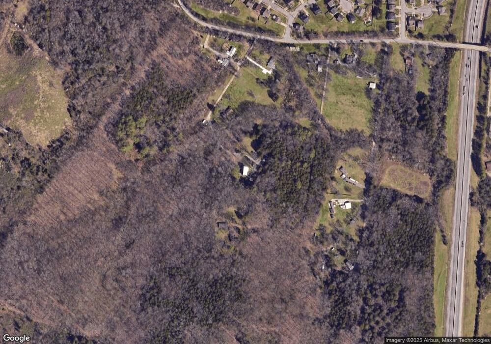
Map
Nearby Homes
- 2813 Cato Ridge Dr
- 2625 Jordan Ridge Dr
- 4330 Eatons Creek Rd
- 331 Sophia Rain Dr Unit 15
- 342 Sophia Rain Dr
- 4218 Eatons Creek Rd
- 4372 Sulphur Creek Rd
- 0 Old Hickory Blvd Unit RTC2788307
- 4368 Enchanted Cir
- 3900 Drakes Branch Rd
- 933 Ashland Place Dr
- 4035 Kings Ln
- Campbell A Plan at Hyde's Landing
- Hamilton Plan at Hyde's Landing
- Owen A Plan at Hyde's Landing
- Morgan A Plan at Hyde's Landing
- 4311 Ashland City Hwy
- 146 Valentine Alley
- 138 Valentine Alley
- 134 Valentine Alley