4517 Cove Dr Unit 1 Carlsbad, CA 92008
Hedionda Point NeighborhoodEstimated Value: $843,173 - $1,193,000
2
Beds
2
Baths
1,258
Sq Ft
$770/Sq Ft
Est. Value
About This Home
This home is located at 4517 Cove Dr Unit 1, Carlsbad, CA 92008 and is currently estimated at $968,793, approximately $770 per square foot. 4517 Cove Dr Unit 1 is a home located in San Diego County with nearby schools including Kelly Elementary School, Carlsbad High School, and Sage Creek High.
Ownership History
Date
Name
Owned For
Owner Type
Purchase Details
Closed on
Jun 25, 2014
Sold by
Ryan Paul C and Ryan Debra E
Bought by
Ryan Family Trust and Ryan Debra E
Current Estimated Value
Purchase Details
Closed on
Sep 16, 2010
Sold by
Putnam Robin R
Bought by
Ryan Paul C and Ryan Debra E
Home Financials for this Owner
Home Financials are based on the most recent Mortgage that was taken out on this home.
Original Mortgage
$280,000
Interest Rate
4.31%
Mortgage Type
New Conventional
Purchase Details
Closed on
Dec 5, 2008
Sold by
Putnam Robin Rae
Bought by
Putnam Robin R
Purchase Details
Closed on
Jul 8, 2008
Sold by
Putnam Robin and Mahler Richard
Bought by
Putnam Robin Rae
Home Financials for this Owner
Home Financials are based on the most recent Mortgage that was taken out on this home.
Original Mortgage
$295,000
Interest Rate
6.04%
Mortgage Type
New Conventional
Purchase Details
Closed on
Jan 11, 2003
Sold by
Putnam Robin
Bought by
Mahler Richard and Putnam Robin
Home Financials for this Owner
Home Financials are based on the most recent Mortgage that was taken out on this home.
Original Mortgage
$205,000
Interest Rate
6.15%
Purchase Details
Closed on
Jul 30, 2002
Sold by
Mahler Richard Keith and Putnam Robin
Bought by
Putnam Robin
Home Financials for this Owner
Home Financials are based on the most recent Mortgage that was taken out on this home.
Original Mortgage
$382,500
Interest Rate
3.64%
Mortgage Type
New Conventional
Purchase Details
Closed on
Jul 15, 2002
Sold by
Ryan Paul C and Ryan Debra E
Bought by
Yellin Shane
Home Financials for this Owner
Home Financials are based on the most recent Mortgage that was taken out on this home.
Original Mortgage
$382,500
Interest Rate
3.64%
Mortgage Type
New Conventional
Purchase Details
Closed on
Oct 29, 2001
Sold by
Putnam Robin
Bought by
Mahler Richard Keith
Purchase Details
Closed on
May 2, 2001
Sold by
Mahler Richard K
Bought by
Putnam Robin
Home Financials for this Owner
Home Financials are based on the most recent Mortgage that was taken out on this home.
Original Mortgage
$197,600
Interest Rate
7.06%
Purchase Details
Closed on
Oct 20, 1998
Sold by
Thompson Family Trust 12-03-87 and Thompson Greg
Bought by
Kamber Peter W and Kamber Sonja R
Purchase Details
Closed on
Sep 6, 1988
Create a Home Valuation Report for This Property
The Home Valuation Report is an in-depth analysis detailing your home's value as well as a comparison with similar homes in the area
Home Values in the Area
Average Home Value in this Area
Purchase History
| Date | Buyer | Sale Price | Title Company |
|---|---|---|---|
| Ryan Family Trust | -- | None Available | |
| Ryan Paul C | $415,000 | Corinthian Title Company | |
| Putnam Robin R | -- | None Available | |
| Putnam Robin Rae | -- | Fidelity National Title | |
| Mahler Richard | -- | American Title Co | |
| Putnam Robin | -- | -- | |
| Yellin Shane | $512,500 | Stewart Title Of Ca Inc | |
| Mahler Richard Keith | -- | -- | |
| Putnam Robin | -- | Commonwealth Land Title Co | |
| Putnam Robin | $208,000 | Commonwealth Land Title Co | |
| Kamber Peter W | $188,000 | First American Title | |
| -- | $147,500 | -- |
Source: Public Records
Mortgage History
| Date | Status | Borrower | Loan Amount |
|---|---|---|---|
| Previous Owner | Ryan Paul C | $280,000 | |
| Previous Owner | Putnam Robin Rae | $295,000 | |
| Previous Owner | Mahler Richard | $205,000 | |
| Previous Owner | Yellin Shane | $382,500 | |
| Previous Owner | Putnam Robin | $197,600 |
Source: Public Records
Tax History Compared to Growth
Tax History
| Year | Tax Paid | Tax Assessment Tax Assessment Total Assessment is a certain percentage of the fair market value that is determined by local assessors to be the total taxable value of land and additions on the property. | Land | Improvement |
|---|---|---|---|---|
| 2025 | $6,159 | $594,793 | $487,443 | $107,350 |
| 2024 | $6,159 | $583,132 | $477,886 | $105,246 |
| 2023 | $6,127 | $571,699 | $468,516 | $103,183 |
| 2022 | $6,031 | $560,490 | $459,330 | $101,160 |
| 2021 | $5,984 | $549,501 | $450,324 | $99,177 |
| 2020 | $5,943 | $543,868 | $445,707 | $98,161 |
| 2019 | $5,834 | $533,205 | $436,968 | $96,237 |
| 2018 | $5,586 | $522,750 | $428,400 | $94,350 |
| 2017 | $90 | $512,500 | $420,000 | $92,500 |
| 2016 | $4,780 | $449,135 | $297,620 | $151,515 |
| 2015 | $4,761 | $442,390 | $293,150 | $149,240 |
| 2014 | $4,534 | $420,000 | $246,000 | $174,000 |
Source: Public Records
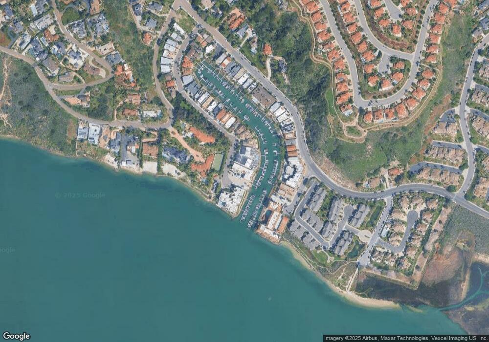
Map
Nearby Homes
- 4705 Marina Dr Unit 10
- 4747 Marina Dr Unit 23
- 4735 Bryce Cir
- 0 Adams St Unit OC24201399
- 4781 Argosy Ln
- 1741 Bruce Rd
- 4640 Sunburst Rd
- 4843 Flying Cloud Way
- 1095 Hoover St
- 0 Hoover St
- 4814 Refugio Ave
- 4874 Park Dr
- 1120 Cape Aire Ln
- 4143 Sunnyhill Dr
- 4876 Park Dr
- 4623 Telescope Ave
- 4031 Aidan Cir Unit 1205
- 817 Kalpati Cir Unit 212
- 4000 James Dr
- 4007 Bluff View Way
- 4519 Cove Dr
- 4517 Cove Dr Unit 2
- 4519 Cove Dr Unit 2
- 4519 Cove Dr Unit 3
- 4519 Cove Dr Unit 4
- 4519 Cove Dr Unit 7
- 4517 Cove Dr Unit 3
- 4519 Cove Dr Unit 6
- 4519 Cove Dr Unit 5
- 4519 Cove Dr Unit 1
- 4525 Cove Dr
- 4525 Cove Dr Unit 10
- 4525 Cove Dr Unit 5
- 4525 Cove Dr Unit 15
- 4525 Cove Dr Unit 14
- 4525 Cove Dr Unit 13
- 4525 Cove Dr Unit 12
- 4525 Cove Dr Unit 11
- 4525 Cove Dr Unit 9
- 4525 Cove Dr Unit 8