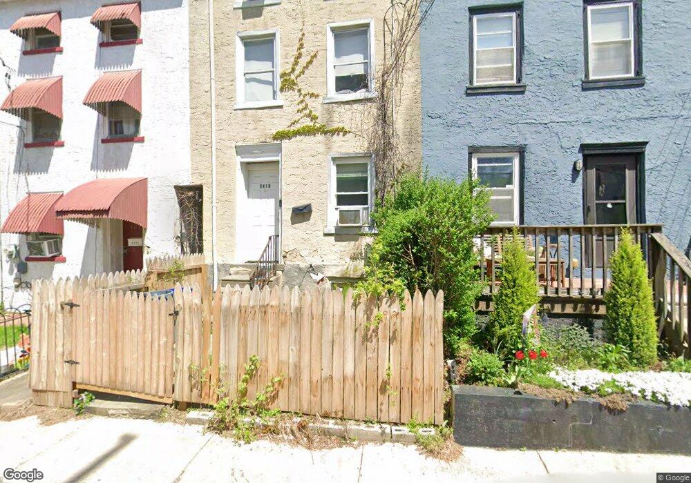
4517 Mitchell St Philadelphia, PA 19128
Roxborough NeighborhoodEstimated Value: $341,000 - $383,000
4
Beds
2
Baths
1,488
Sq Ft
$242/Sq Ft
Est. Value
About This Home
This home is located at 4517 Mitchell St, Philadelphia, PA 19128 and is currently estimated at $359,636, approximately $241 per square foot. 4517 Mitchell St is a home located in Philadelphia County with nearby schools including James Dobson Elementary School, Roxborough High School, and Holy Child School.
Ownership History
Date
Name
Owned For
Owner Type
Purchase Details
Closed on
May 14, 2004
Sold by
Abrams Kathleen
Bought by
Peltzman David J
Current Estimated Value
Home Financials for this Owner
Home Financials are based on the most recent Mortgage that was taken out on this home.
Original Mortgage
$136,000
Outstanding Balance
$57,302
Interest Rate
4.07%
Mortgage Type
Purchase Money Mortgage
Estimated Equity
$302,334
Purchase Details
Closed on
Mar 30, 1999
Sold by
Jeffries Charles E and Adams William R
Bought by
Abrams Kathleen
Create a Home Valuation Report for This Property
The Home Valuation Report is an in-depth analysis detailing your home's value as well as a comparison with similar homes in the area
Home Values in the Area
Average Home Value in this Area
Purchase History
| Date | Buyer | Sale Price | Title Company |
|---|---|---|---|
| Peltzman David J | $170,000 | -- | |
| Abrams Kathleen | $45,000 | -- |
Source: Public Records
Mortgage History
| Date | Status | Borrower | Loan Amount |
|---|---|---|---|
| Open | Peltzman David J | $136,000 |
Source: Public Records
Tax History Compared to Growth
Tax History
| Year | Tax Paid | Tax Assessment Tax Assessment Total Assessment is a certain percentage of the fair market value that is determined by local assessors to be the total taxable value of land and additions on the property. | Land | Improvement |
|---|---|---|---|---|
| 2025 | $3,490 | $290,100 | $58,020 | $232,080 |
| 2024 | $3,490 | $290,100 | $58,020 | $232,080 |
| 2023 | $3,490 | $249,300 | $49,860 | $199,440 |
| 2022 | $2,800 | $249,300 | $49,860 | $199,440 |
| 2021 | $2,800 | $0 | $0 | $0 |
| 2020 | $2,800 | $0 | $0 | $0 |
| 2019 | $2,752 | $0 | $0 | $0 |
| 2018 | $2,650 | $0 | $0 | $0 |
| 2017 | $2,650 | $0 | $0 | $0 |
| 2016 | $2,650 | $0 | $0 | $0 |
| 2015 | $2,537 | $0 | $0 | $0 |
| 2014 | -- | $189,300 | $33,908 | $155,392 |
| 2012 | -- | $19,296 | $3,856 | $15,440 |
Source: Public Records
Map
Nearby Homes
- 4531 Mitchell St
- 4538 Mitchell St
- 444 Dupont St
- 452 Green Ln
- 438 1/2 Leverington Ave
- 468 Leverington Ave
- 451 Green Ln
- 485 Ripka St
- 434-36 Conarroe St
- 450 Ripka St
- 6106 Ridge Ave
- 4448 Mitchell St
- 481 Conarroe St
- 6232 Ridge Ave
- 407 Conarroe St
- 517 Conarroe St
- 375 Green Ln
- 389 Conarroe St
- 472 Lyceum Ave
- 4416 Pechin St
- 4519 Mitchell St
- 4515 Mitchell St
- 4521 Mitchell St
- 4513 Mitchell St
- 4523 Mitchell St
- 4511 Mitchell St
- 4509 Mitchell St
- 4525 Mitchell St
- 4529 Mitchell St
- 6151 Dupont St
- 4507 Mitchell St
- 4505 Mitchell St
- 451 Krams Ave
- 453 Krams Ave
- 4503 Mitchell St
- 450 Dupont St
- 457 Krams Ave
- 4524 Mitchell St
- 448 Dupont St
- 447 Dupont St