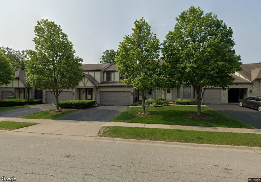
4517 Opal Dr Hoffman Estates, IL 60192
South Ridge NeighborhoodEstimated Value: $374,419 - $423,000
3
Beds
3
Baths
1,524
Sq Ft
$263/Sq Ft
Est. Value
About This Home
This home is located at 4517 Opal Dr, Hoffman Estates, IL 60192 and is currently estimated at $401,105, approximately $263 per square foot. 4517 Opal Dr is a home located in Cook County with nearby schools including Thomas Jefferson Elementary School, Frank C. Whiteley Elementary School, and William Fremd High School.
Ownership History
Date
Name
Owned For
Owner Type
Purchase Details
Closed on
Dec 14, 1994
Sold by
Danaher Robert W
Bought by
Farrell Robert W and Farrell Linda A
Current Estimated Value
Home Financials for this Owner
Home Financials are based on the most recent Mortgage that was taken out on this home.
Original Mortgage
$107,250
Interest Rate
9.06%
Create a Home Valuation Report for This Property
The Home Valuation Report is an in-depth analysis detailing your home's value as well as a comparison with similar homes in the area
Home Values in the Area
Average Home Value in this Area
Purchase History
| Date | Buyer | Sale Price | Title Company |
|---|---|---|---|
| Farrell Robert W | $143,000 | -- |
Source: Public Records
Mortgage History
| Date | Status | Borrower | Loan Amount |
|---|---|---|---|
| Closed | Farrell Robert W | $107,250 |
Source: Public Records
Tax History
| Year | Tax Paid | Tax Assessment Tax Assessment Total Assessment is a certain percentage of the fair market value that is determined by local assessors to be the total taxable value of land and additions on the property. | Land | Improvement |
|---|---|---|---|---|
| 2025 | $5,906 | $32,168 | $4,320 | $27,848 |
| 2024 | $5,906 | $25,233 | $5,000 | $20,233 |
| 2023 | $5,652 | $25,233 | $5,000 | $20,233 |
| 2022 | $5,652 | $25,233 | $5,000 | $20,233 |
| 2021 | $5,321 | $21,885 | $1,687 | $20,198 |
| 2020 | $5,338 | $21,885 | $1,687 | $20,198 |
| 2019 | $5,287 | $24,263 | $1,687 | $22,576 |
| 2018 | $4,745 | $21,161 | $1,552 | $19,609 |
| 2017 | $4,690 | $21,161 | $1,552 | $19,609 |
| 2016 | $4,871 | $21,161 | $1,552 | $19,609 |
| 2015 | $4,410 | $18,686 | $1,417 | $17,269 |
| 2014 | $4,355 | $18,686 | $1,417 | $17,269 |
| 2013 | $4,214 | $18,686 | $1,417 | $17,269 |
Source: Public Records
Map
Nearby Homes
- 1404 W Sapphire Dr
- 4475 Olmstead Dr
- 4620 Olmstead Dr
- 1210 Downing Dr
- 4480 Thornbark Dr
- 1280 Clover Ln
- 4485 Bayside Cir
- 4791 Amber Cir
- 1690 Cape Breton Ct
- 1281 Old Timber Ct
- 4175 Victoria Dr
- 940 Freeman Rd
- 5083 Chambers Dr
- 4075 N Parkside Dr
- 3881 Bordeaux Dr
- 775 Summer Isle Ln
- 61 E Rd
- 61 E Rd
- 61 E Palatine #4 Rd
- 61 E Palatine Rd
- 4519 Opal Dr
- 4515 Opal Dr
- 4513 Opal Dr Unit 2
- 4521 Opal Dr
- 4523 Opal Dr
- 4518 Opal Dr
- 4518 Opal Dr
- 4520 Opal Dr
- 4525 Opal Dr Unit 68
- 4522 Opal Dr Unit 1
- 4530 Topaz Dr
- 4527 Opal Dr
- 4524 Opal Dr
- 4505 Opal Dr
- 4529 Opal Dr Unit 1
- 4526 Opal Dr
- 4541 Topaz Dr Unit 1
- 4461 Trailside Ct Unit 2
- 4534 Topaz Dr Unit 2
- 4531 Opal Dr Unit 1
Your Personal Tour Guide
Ask me questions while you tour the home.