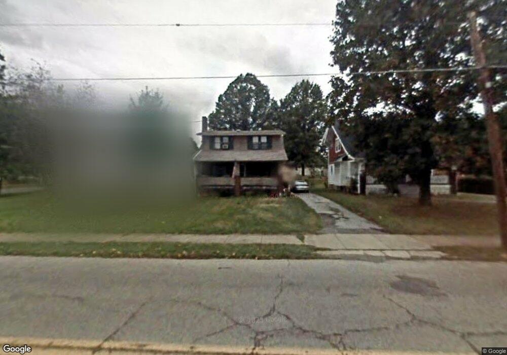
4518 Southern Blvd Youngstown, OH 44512
Estimated Value: $140,000 - $154,000
3
Beds
1
Bath
1,408
Sq Ft
$102/Sq Ft
Est. Value
About This Home
This home is located at 4518 Southern Blvd, Youngstown, OH 44512 and is currently estimated at $144,294, approximately $102 per square foot. 4518 Southern Blvd is a home located in Mahoning County with nearby schools including Boardman Glenwood Junior High School, Boardman High School, and Horizon Science Academy - Youngstown.
Ownership History
Date
Name
Owned For
Owner Type
Purchase Details
Closed on
Jan 4, 1996
Sold by
Comstock Robert J
Bought by
Hogan Michael J and Hogan Kathleen
Current Estimated Value
Home Financials for this Owner
Home Financials are based on the most recent Mortgage that was taken out on this home.
Original Mortgage
$60,968
Outstanding Balance
$1,664
Interest Rate
7.41%
Mortgage Type
FHA
Estimated Equity
$142,630
Purchase Details
Closed on
Aug 21, 1992
Bought by
Comstock Robt and Comstock Pamela
Create a Home Valuation Report for This Property
The Home Valuation Report is an in-depth analysis detailing your home's value as well as a comparison with similar homes in the area
Home Values in the Area
Average Home Value in this Area
Purchase History
| Date | Buyer | Sale Price | Title Company |
|---|---|---|---|
| Hogan Michael J | $61,000 | -- | |
| Comstock Robt | $47,000 | -- |
Source: Public Records
Mortgage History
| Date | Status | Borrower | Loan Amount |
|---|---|---|---|
| Open | Hogan Michael J | $60,968 |
Source: Public Records
Tax History Compared to Growth
Tax History
| Year | Tax Paid | Tax Assessment Tax Assessment Total Assessment is a certain percentage of the fair market value that is determined by local assessors to be the total taxable value of land and additions on the property. | Land | Improvement |
|---|---|---|---|---|
| 2024 | $1,842 | $36,060 | $4,130 | $31,930 |
| 2023 | $1,818 | $36,060 | $4,130 | $31,930 |
| 2022 | $1,457 | $22,000 | $4,080 | $17,920 |
| 2021 | $1,458 | $22,000 | $4,080 | $17,920 |
| 2020 | $1,466 | $22,000 | $4,080 | $17,920 |
| 2019 | $1,472 | $19,480 | $3,620 | $15,860 |
| 2018 | $1,238 | $19,480 | $3,620 | $15,860 |
| 2017 | $1,235 | $19,480 | $3,620 | $15,860 |
| 2016 | $1,174 | $18,340 | $3,920 | $14,420 |
| 2015 | $1,151 | $18,340 | $3,920 | $14,420 |
| 2014 | $1,154 | $18,340 | $3,920 | $14,420 |
| 2013 | $1,139 | $18,340 | $3,920 | $14,420 |
Source: Public Records
Map
Nearby Homes
- 4508 Southern Blvd
- 94 Shadyside Dr
- 4504 Southern Blvd
- 94 Beechwood Dr
- 60 Shadyside Dr
- 83 Beechwood Dr
- 30 Pinehurst Ave
- 148 Clifton Dr
- 4307 Helena Ave
- 4312 Helena Ave
- 28 Terrace Dr
- 4144 Helena Ave
- 175 Homestead Dr
- 204 Lowell Ave
- 4250 Oak Knoll Dr
- 4552 New England Blvd
- 117 Overhill Rd
- 3916 Howard St
- 188 Clarencedale Ave
- 81 Melrose Ave
- 4514 Southern Blvd
- 96 Shadyside Dr
- 4504 4508 Southern Blvd
- 75 Maple Dr
- 70 Shadyside Dr
- 4602 Southern Blvd
- 73 Maple Dr
- 4606 Southern Blvd
- 66 Shadyside Dr Unit 68
- 66 Shadyside Dr Unit 68
- 66 Shadyside Dr
- 68 Shadyside Dr
- 71 Maple Dr
- 91 Shadyside Dr
- 193,201,211 Maple Dr
- 4610 Southern Blvd
- 89 Shadyside Dr
- 63 Maple Dr
- 85 Shadyside Dr
- 4618 Southern Blvd