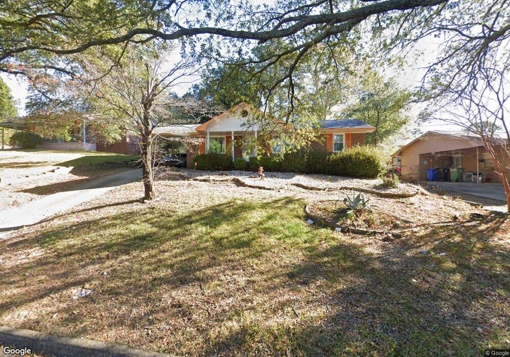
4519 Lasalle Dr Columbus, GA 31907
Eastern Columbus NeighborhoodEstimated Value: $132,000 - $157,000
3
Beds
3
Baths
1,334
Sq Ft
$108/Sq Ft
Est. Value
About This Home
This home is located at 4519 Lasalle Dr, Columbus, GA 31907 and is currently estimated at $144,346, approximately $108 per square foot. 4519 Lasalle Dr is a home located in Muscogee County with nearby schools including St. Mary's Road Magnet Academy, Eddy Middle School, and Spencer High School.
Ownership History
Date
Name
Owned For
Owner Type
Purchase Details
Closed on
Sep 28, 2007
Sold by
Davis Annie R
Bought by
Hicks Waltraud D
Current Estimated Value
Home Financials for this Owner
Home Financials are based on the most recent Mortgage that was taken out on this home.
Original Mortgage
$88,770
Outstanding Balance
$56,229
Interest Rate
6.49%
Mortgage Type
FHA
Estimated Equity
$88,117
Create a Home Valuation Report for This Property
The Home Valuation Report is an in-depth analysis detailing your home's value as well as a comparison with similar homes in the area
Home Values in the Area
Average Home Value in this Area
Purchase History
| Date | Buyer | Sale Price | Title Company |
|---|---|---|---|
| Hicks Waltraud D | $89,473 | -- | |
| Hicks Waltraud Denise | $89,500 | None Available |
Source: Public Records
Mortgage History
| Date | Status | Borrower | Loan Amount |
|---|---|---|---|
| Open | Hicks Waltraud Denise | $88,770 |
Source: Public Records
Tax History Compared to Growth
Tax History
| Year | Tax Paid | Tax Assessment Tax Assessment Total Assessment is a certain percentage of the fair market value that is determined by local assessors to be the total taxable value of land and additions on the property. | Land | Improvement |
|---|---|---|---|---|
| 2025 | $1,860 | $47,520 | $8,964 | $38,556 |
| 2024 | $1,860 | $47,520 | $8,964 | $38,556 |
| 2023 | $1,872 | $47,520 | $8,964 | $38,556 |
| 2022 | $1,613 | $39,512 | $8,964 | $30,548 |
| 2021 | $1,182 | $28,944 | $8,964 | $19,980 |
| 2020 | $1,182 | $28,944 | $8,964 | $19,980 |
| 2019 | $1,186 | $28,944 | $8,964 | $19,980 |
| 2018 | $1,186 | $28,944 | $8,964 | $19,980 |
| 2017 | $1,190 | $28,944 | $8,964 | $19,980 |
| 2016 | $1,456 | $35,287 | $3,600 | $31,687 |
| 2015 | $1,457 | $35,287 | $3,600 | $31,687 |
| 2014 | $1,459 | $35,287 | $3,600 | $31,687 |
| 2013 | -- | $35,287 | $3,600 | $31,687 |
Source: Public Records
Map
Nearby Homes
- 4718 Velpoe Dr
- 4422 Debolt Ct
- 4408 Ridgefield Dr
- 1025 Belmar St
- 4581 Dawn Ct
- 1225 Rowell St
- 811 Pheasant Loop
- 1425 Staunton Dr
- 1234 Hanover Ave
- 4939 Aaron Dr
- 4201 Valley Crest Dr
- 4510 Tracy St
- 1509 Bowie Ave
- 849 Bunker Hill Rd
- 4831 Toney Dr
- 906 Bunker Hill Rd
- 4917 Brightstar Ln
- 5116 Magazine Ln
- 4437 St Marys Rd
- 5219 Argonne Dr
- 4529 Lasalle Dr
- 4513 Lasalle Dr
- 4307 Moline Ave
- 4315 Moline Ave
- 4541 Lasalle Dr
- 4518 Lasalle Dr
- 4524 Lasalle Dr
- 4604 Velpoe Dr
- 4512 Lasalle Dr
- 4530 Lasalle Dr
- 4536 Lasalle Dr
- 4321 Moline Ave
- 4620 Velpoe Dr
- 0 Lasalle Dr Unit 8492281
- 0 Lasalle Dr Unit 7077683
- 0 Lasalle Dr Unit 7136672
- 0 Lasalle Dr
- 4502 Lasalle Dr
- 4542 Lasalle Dr
- 4304 Moline Ave