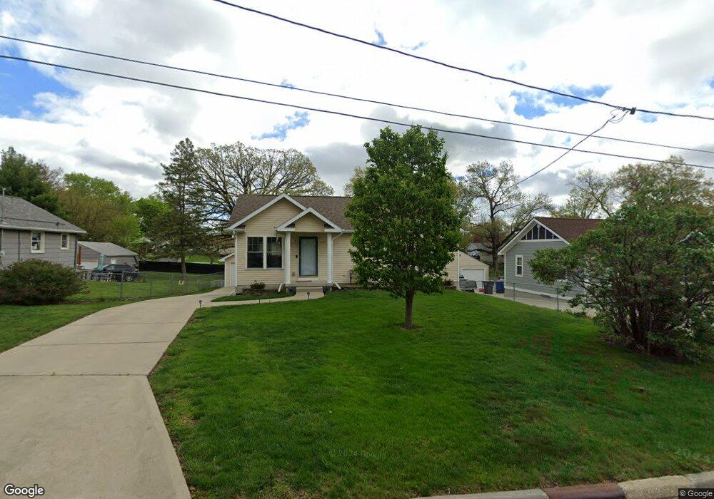
4519 SW 5th St Des Moines, IA 50315
Watrous Heights NeighborhoodEstimated Value: $226,000 - $278,228
3
Beds
3
Baths
1,080
Sq Ft
$243/Sq Ft
Est. Value
About This Home
This home is located at 4519 SW 5th St, Des Moines, IA 50315 and is currently estimated at $262,057, approximately $242 per square foot. 4519 SW 5th St is a home located in Polk County with nearby schools including South Union Elementary School, Brody Middle School, and Lincoln High School.
Ownership History
Date
Name
Owned For
Owner Type
Purchase Details
Closed on
Jul 31, 2007
Sold by
Skyline Homes Inc
Bought by
Wilhelm John Paul and Wilhelm Kimberly Grace
Current Estimated Value
Home Financials for this Owner
Home Financials are based on the most recent Mortgage that was taken out on this home.
Original Mortgage
$24,735
Interest Rate
6.38%
Mortgage Type
Stand Alone Second
Create a Home Valuation Report for This Property
The Home Valuation Report is an in-depth analysis detailing your home's value as well as a comparison with similar homes in the area
Home Values in the Area
Average Home Value in this Area
Purchase History
| Date | Buyer | Sale Price | Title Company |
|---|---|---|---|
| Wilhelm John Paul | $164,500 | None Available |
Source: Public Records
Mortgage History
| Date | Status | Borrower | Loan Amount |
|---|---|---|---|
| Closed | Wilhelm John Paul | $24,735 | |
| Open | Wilhelm John Paul | $131,920 |
Source: Public Records
Tax History Compared to Growth
Tax History
| Year | Tax Paid | Tax Assessment Tax Assessment Total Assessment is a certain percentage of the fair market value that is determined by local assessors to be the total taxable value of land and additions on the property. | Land | Improvement |
|---|---|---|---|---|
| 2025 | $5,168 | $307,600 | $37,500 | $270,100 |
| 2024 | $5,168 | $273,200 | $32,800 | $240,400 |
| 2023 | $4,872 | $273,200 | $32,800 | $240,400 |
| 2022 | $4,834 | $215,600 | $27,000 | $188,600 |
| 2021 | $4,520 | $215,600 | $27,000 | $188,600 |
| 2020 | $4,690 | $189,700 | $23,700 | $166,000 |
| 2019 | $4,348 | $189,700 | $23,700 | $166,000 |
| 2018 | $4,298 | $170,300 | $20,800 | $149,500 |
| 2017 | $4,042 | $170,300 | $20,800 | $149,500 |
| 2016 | $3,934 | $158,000 | $18,900 | $139,100 |
| 2015 | $3,934 | $158,000 | $18,900 | $139,100 |
| 2014 | $3,894 | $161,000 | $19,100 | $141,900 |
Source: Public Records
Map
Nearby Homes
- 515 Emma Ave
- 304 Herold Ave
- 518 Maxwelton Dr
- 612 Emma Ave
- 115 Mckinley Ave
- 212 Titus Ave
- 102 E Emma Ave
- 4204 SW 7th St
- 299 Hackley Ave
- 108 E Philip St
- . Herold Ave
- 606 Marion St
- 126 E Maxwelton Dr
- 520 Hackley Ave
- 209 E Philip St
- 930 Emma Ave
- 936 Mckinley Ave Unit 14
- 311 E Emma Ave
- 117 E Watrous Ave
- 3903 SW 9th St
- 4601 SW 5th St
- 4513 SW 5th St
- 4605 SW 5th St
- 4509 SW 5th St
- 4516 SW 3rd St
- 4607 SW 5th St
- 4505 SW 5th St
- 4514 SW 3rd St
- 4600 SW 3rd St
- 4516 SW 5th St
- 4604 SW 3rd St
- 4611 SW 5th St
- 4501 SW 5th St
- 308 Maxwelton Dr
- 4508 SW 5th St
- 4608 SW 3rd St
- 4604 SW 5th St
- 4500 SW 5th St
- 4500 SW 3rd St
- 409 Herold Ave