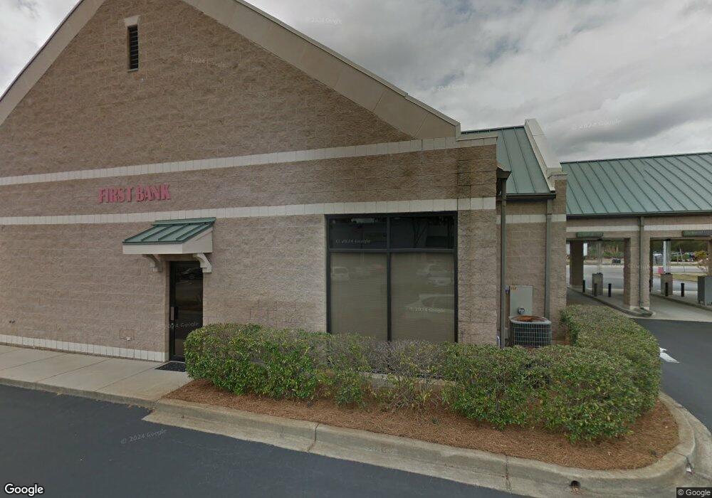
452 2nd Loop Rd Florence, SC 29505
Estimated Value: $726,818
Studio
--
Bath
3,993
Sq Ft
$182/Sq Ft
Est. Value
About This Home
This home is located at 452 2nd Loop Rd, Florence, SC 29505 and is currently priced at $726,818, approximately $182 per square foot. 452 2nd Loop Rd is a home located in Florence County with nearby schools including McLaurin Elementary School, Southside Middle School, and South Florence High School.
Ownership History
Date
Name
Owned For
Owner Type
Purchase Details
Closed on
Apr 26, 2023
Sold by
Pinewood Village Inc
Bought by
Langston On The Loop Llc
Current Estimated Value
Home Financials for this Owner
Home Financials are based on the most recent Mortgage that was taken out on this home.
Original Mortgage
$3,850,000
Outstanding Balance
$3,002,486
Interest Rate
6.6%
Mortgage Type
Credit Line Revolving
Create a Home Valuation Report for This Property
The Home Valuation Report is an in-depth analysis detailing your home's value as well as a comparison with similar homes in the area
Purchase History
| Date | Buyer | Sale Price | Title Company |
|---|---|---|---|
| Langston On The Loop Llc | $5,500,000 | None Listed On Document | |
| Langston On The Loop Llc | $5,500,000 | None Listed On Document |
Source: Public Records
Mortgage History
| Date | Status | Borrower | Loan Amount |
|---|---|---|---|
| Open | Langston On The Loop Llc | $3,850,000 | |
| Closed | Langston On The Loop Llc | $3,850,000 |
Source: Public Records
Tax History
| Year | Tax Paid | Tax Assessment Tax Assessment Total Assessment is a certain percentage of the fair market value that is determined by local assessors to be the total taxable value of land and additions on the property. | Land | Improvement |
|---|---|---|---|---|
| 2025 | $23,241 | $41,526 | $7,275 | $34,251 |
| 2024 | $21,753 | $41,526 | $7,275 | $34,251 |
| 2023 | $16,109 | $30,102 | $7,275 | $22,827 |
| 2022 | $15,945 | $30,102 | $7,275 | $22,827 |
| 2021 | $16,619 | $45,150 | $0 | $0 |
| 2020 | $15,608 | $45,150 | $0 | $0 |
| 2019 | $15,353 | $45,150 | $0 | $0 |
| 2018 | $14,859 | $45,150 | $0 | $0 |
| 2017 | $14,561 | $45,150 | $0 | $0 |
| 2016 | $14,428 | $45,150 | $0 | $0 |
| 2015 | $14,423 | $45,150 | $0 | $0 |
| 2014 | $13,770 | $0 | $0 | $0 |
Source: Public Records
Map
Nearby Homes
- 1360 S Damon Dr
- 1350 S Damon Dr
- 1350 Damon Drive Unit E
- 1616 Partridge Dr
- 923 Wrenwood Rd
- 1817 Brandon Dr
- 1826 Brandon Dr
- 301 Dorado Dr
- 1018 Santee Dr
- 1859 Partridge Cir
- 613 Middleberg Way
- 405 E Suena Dr
- 726 Wisteria Dr
- 1811 Jason Dr
- 604 Greensward Dr
- 1148 2nd Loop Rd
- 1202 Melrose Ave
- 1214 Hillside Ave
- 1162 Pinckney Ave
- 617 S Church St
- Lot 65 Clarkedale
- Lot 64 Clarkedale
- Lot 63 Clarkedale
- Lot 62 Clarkedale
- Lot 61 Clarkedale
- Lot 59 Clarkedale
- Lot 58 Clarkedale
- Lot 57 Clarkedale
- Lot 75 Clarkedale
- Lot 74 Clarkedale
- Lot 73 Clarkedale
- Lot 72 Clarkedale
- Lot 71 Clarkedale
- Lot 70 Clarkedale
- Lot 69 Clarkedale
- Lot 68 Clarkedale
- Lot 67 Clarkedale
- Lot 66 Clarkedale
- Lot 85 Clarkedale
- Lot 84 Clarkedale
Your Personal Tour Guide
Ask me questions while you tour the home.