452 Center Rd Hillsborough, NH 03244
Hillsboro NeighborhoodEstimated Value: $536,000 - $898,121
4
Beds
4
Baths
4,745
Sq Ft
$155/Sq Ft
Est. Value
About This Home
This home is located at 452 Center Rd, Hillsborough, NH 03244 and is currently estimated at $734,530, approximately $154 per square foot. 452 Center Rd is a home located in Hillsborough County with nearby schools including Hillsboro-Deering Elementary School and Hillsboro Christian School.
Ownership History
Date
Name
Owned For
Owner Type
Purchase Details
Closed on
Mar 14, 2025
Sold by
Judith I Hatfield Ret and Hatfield
Bought by
S G & P M Parenteau Ft and Parenteau
Current Estimated Value
Purchase Details
Closed on
May 29, 2020
Sold by
Judith I Hatfield Ret
Bought by
S G & P M Parenteau Ret
Purchase Details
Closed on
Dec 4, 2000
Sold by
Sprague Lockwood
Bought by
Judith I Hatfield Ret
Purchase Details
Closed on
Aug 13, 1996
Sold by
Brochu Andre J and Brochu Janet S
Bought by
Beltz Randolph K and Beltz Katherine
Home Financials for this Owner
Home Financials are based on the most recent Mortgage that was taken out on this home.
Original Mortgage
$129,150
Interest Rate
8.24%
Mortgage Type
Purchase Money Mortgage
Create a Home Valuation Report for This Property
The Home Valuation Report is an in-depth analysis detailing your home's value as well as a comparison with similar homes in the area
Home Values in the Area
Average Home Value in this Area
Purchase History
| Date | Buyer | Sale Price | Title Company |
|---|---|---|---|
| S G & P M Parenteau Ft | $60,000 | None Available | |
| S G & P M Parenteau Ft | $60,000 | None Available | |
| S G & P M Parenteau Ret | $535,000 | None Available | |
| S G & P M Parenteau Ret | $535,000 | None Available | |
| Judith I Hatfield Ret | $250,000 | -- | |
| Judith I Hatfield Ret | $250,000 | -- | |
| Beltz Randolph K | $143,500 | -- | |
| Beltz Randolph K | $143,500 | -- |
Source: Public Records
Mortgage History
| Date | Status | Borrower | Loan Amount |
|---|---|---|---|
| Previous Owner | Beltz Randolph K | $129,150 |
Source: Public Records
Tax History Compared to Growth
Tax History
| Year | Tax Paid | Tax Assessment Tax Assessment Total Assessment is a certain percentage of the fair market value that is determined by local assessors to be the total taxable value of land and additions on the property. | Land | Improvement |
|---|---|---|---|---|
| 2024 | $16,635 | $497,460 | $98,160 | $399,300 |
| 2023 | $15,563 | $498,499 | $99,199 | $399,300 |
| 2022 | $13,419 | $502,763 | $103,463 | $399,300 |
| 2021 | $14,540 | $502,763 | $103,463 | $399,300 |
| 2020 | $14,450 | $502,968 | $103,668 | $399,300 |
| 2018 | $12,933 | $438,423 | $76,223 | $362,200 |
| 2016 | $13,307 | $450,783 | $84,583 | $366,200 |
Source: Public Records
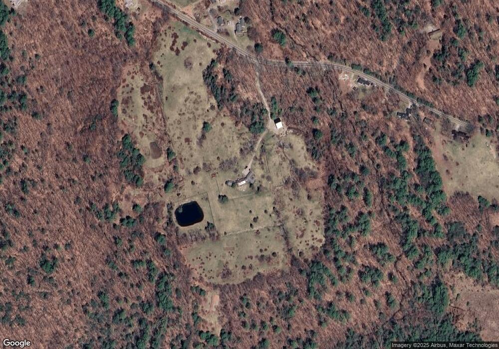
Map
Nearby Homes
- 447 Center Rd
- 0 Center Rd
- 571 Center Rd
- 37 Meeting Hill Rd
- 33 Kimball Hill Rd
- 17 Minott Rd
- Lot 14 Old Mill Farm Rd
- 5-166 Kimball Hill Rd
- 17 Gould Pond Rd
- 32 Deerpoint Dr
- Lot 4 & 5 Concord End Rd
- 11B -425 W Main St
- 33 Seminole Rd
- 0 Huntington Dr Unit 307 4855146
- 0 Huntington Dr Unit 373 4855140
- 32-33 Red Fox Crossing
- 0 Red Fox Crossing Unit 34 4858470
- 0 Raccoon Alley Unit 86 4855473
- 96 Dean Hill Rd
- 24 Raccoon Alley