452 E Corning Rd Beecher, IL 60401
Studio
2
Baths
--
Sq Ft
1,738,044
Sq Ft Lot
About This Home
This home is located at 452 E Corning Rd, Beecher, IL 60401. 452 E Corning Rd is a home located in Will County with nearby schools including Beecher Elementary School, Beecher Junior High School, and Beecher High School.
Ownership History
Date
Name
Owned For
Owner Type
Purchase Details
Closed on
Jun 15, 2022
Sold by
Cooke Jon and Cooke Patricia L
Bought by
Ufkes & Ramsey Properties Llc
Home Financials for this Owner
Home Financials are based on the most recent Mortgage that was taken out on this home.
Original Mortgage
$157,500
Outstanding Balance
$141,518
Interest Rate
5.13%
Mortgage Type
Credit Line Revolving
Purchase Details
Closed on
May 8, 2014
Sold by
Rose Michael H and Rose Michael H
Bought by
Firstmerit Bank Na
Create a Home Valuation Report for This Property
The Home Valuation Report is an in-depth analysis detailing your home's value as well as a comparison with similar homes in the area
Home Values in the Area
Average Home Value in this Area
Purchase History
| Date | Buyer | Sale Price | Title Company |
|---|---|---|---|
| Ufkes & Ramsey Properties Llc | $210,000 | Meridian Title | |
| Firstmerit Bank Na | -- | Greater Illinois Title Co |
Source: Public Records
Mortgage History
| Date | Status | Borrower | Loan Amount |
|---|---|---|---|
| Open | Ufkes & Ramsey Properties Llc | $157,500 |
Source: Public Records
Tax History
| Year | Tax Paid | Tax Assessment Tax Assessment Total Assessment is a certain percentage of the fair market value that is determined by local assessors to be the total taxable value of land and additions on the property. | Land | Improvement |
|---|---|---|---|---|
| 2024 | $1,249 | $15,313 | $13,830 | $1,483 |
| 2023 | $1,249 | $13,687 | $12,204 | $1,483 |
| 2022 | $979 | $12,208 | $10,725 | $1,483 |
| 2021 | $1,018 | $11,219 | $9,736 | $1,483 |
| 2020 | $931 | $9,622 | $8,139 | $1,483 |
| 2019 | $876 | $8,502 | $7,019 | $1,483 |
| 2018 | $811 | $7,503 | $6,020 | $1,483 |
| 2017 | $700 | $6,642 | $5,159 | $1,483 |
| 2016 | $628 | $6,124 | $4,641 | $1,483 |
| 2015 | $472 | $5,034 | $3,551 | $1,483 |
| 2014 | $472 | $3,052 | $3,052 | $0 |
| 2013 | $472 | $3,019 | $3,019 | $0 |
Source: Public Records
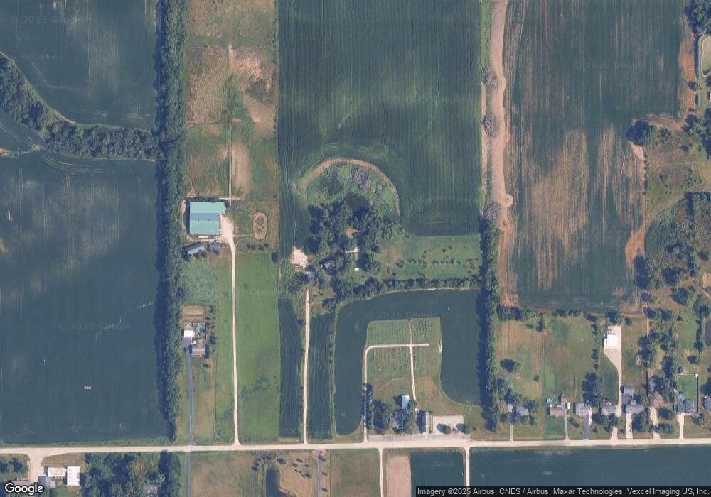
Map
Nearby Homes
- 617 Melrose Ln
- 29891 Blue Heron Blvd
- 29871 Blue Heron Blvd
- 322 Orchard Ln
- 902 Lange Ave
- 236 Poplar Ln
- 0000 Church Rd NE
- 30 Acres Church and Racine Ave
- Vacant Hunters Dr
- 300 Dixie Hwy
- 463 Orchard Ln
- 607 Miller St
- 524 Meadow Ln
- 402 Chestnut Ln
- 936 W Corning Rd
- 605 Reed St
- 257 Pine St
- 520 Chestnut Ln
- 614 Country Ln
- 513 Chestnut Ln
- 412 E Corning Rd
- 532 E Corning Rd
- 608 E Corning Rd
- 515 E Corning Rd
- 626 E Corning Rd
- 636 E Corning Rd
- 505 E Corning Rd
- 646 E Corning Rd
- 656 E Corning Rd
- 315 E Corning Rd
- 712 E Corning Rd
- 726 E Corning Rd
- 30900 S Cottage Grove Ave
- 30920 S Cottage Grove Ave
- 231 E Corning Rd
- 752 E Corning Rd
- 752 E Corning Rd
- 30846 S Cottage Grove Ave
- 30812 S Cottage Grove Ave
Your Personal Tour Guide
Ask me questions while you tour the home.