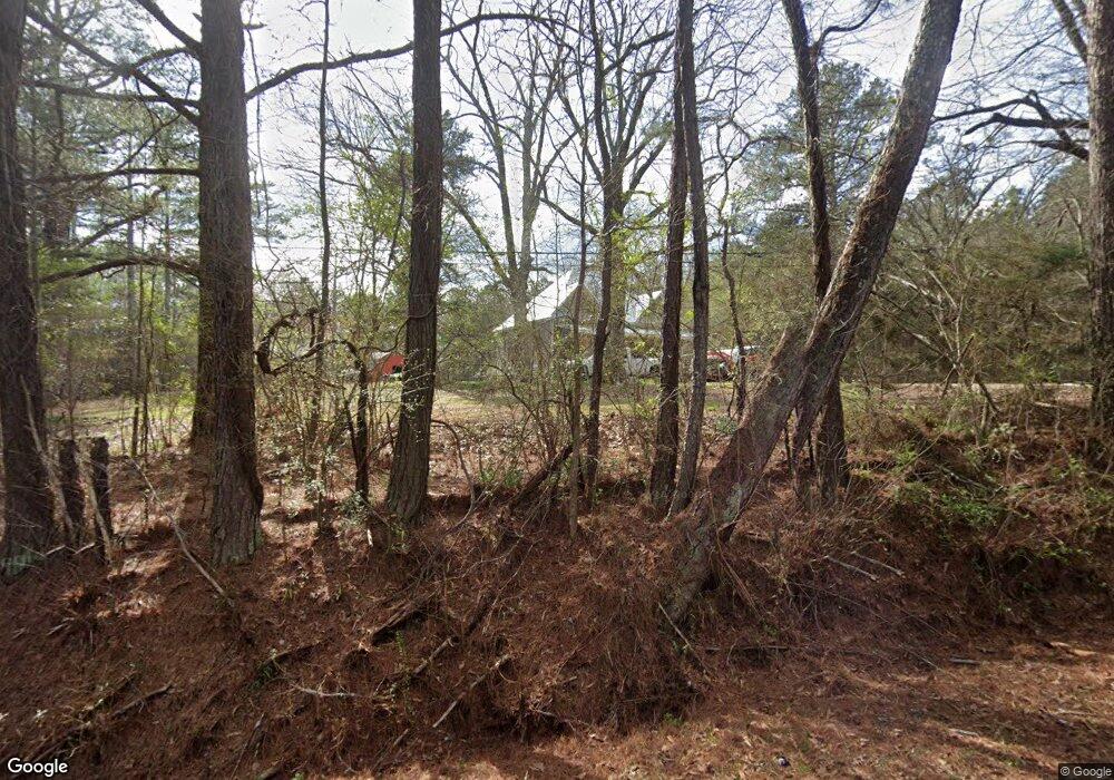
452 High Point Rd Buchanan, GA 30113
Estimated Value: $142,000 - $229,764
3
Beds
1
Bath
1,499
Sq Ft
$114/Sq Ft
Est. Value
About This Home
This home is located at 452 High Point Rd, Buchanan, GA 30113 and is currently estimated at $171,255, approximately $114 per square foot. 452 High Point Rd is a home with nearby schools including Haralson County High School.
Ownership History
Date
Name
Owned For
Owner Type
Purchase Details
Closed on
Jan 24, 2019
Sold by
Pollard Marlon Lee
Bought by
Pollard Edward Claude
Current Estimated Value
Purchase Details
Closed on
Jan 15, 2019
Sold by
Eggleston Rebecca Ann
Bought by
Pollard Edward Claude
Purchase Details
Closed on
Nov 18, 2003
Sold by
Pollard Delmer C Mathis Harold and Pollard Delmer C Teresa
Bought by
Pollard Melvin and Pollard Sandra L
Purchase Details
Closed on
Oct 24, 2001
Sold by
Pollard Delmer E
Bought by
Pollard J E As Trustee Under
Purchase Details
Closed on
Nov 11, 1977
Bought by
Pollard Delmer E
Create a Home Valuation Report for This Property
The Home Valuation Report is an in-depth analysis detailing your home's value as well as a comparison with similar homes in the area
Purchase History
| Date | Buyer | Sale Price | Title Company |
|---|---|---|---|
| Pollard Edward Claude | -- | -- | |
| Eggelston Rebecca Ann | -- | -- | |
| Eggleston Rebecca Ann | -- | -- | |
| Pollard Edward Claude | -- | -- | |
| Pollard Melvin | -- | -- | |
| Pollard J E As Trustee Under | -- | -- | |
| Pollard Delmer E | -- | -- |
Source: Public Records
Tax History
| Year | Tax Paid | Tax Assessment Tax Assessment Total Assessment is a certain percentage of the fair market value that is determined by local assessors to be the total taxable value of land and additions on the property. | Land | Improvement |
|---|---|---|---|---|
| 2025 | $873 | $89,341 | $23,629 | $65,712 |
| 2024 | $873 | $33,663 | $6,685 | $26,978 |
| 2023 | $968 | $701 | $0 | $701 |
| 2022 | $856 | $31,915 | $10,043 | $21,872 |
| 2021 | $841 | $30,103 | $9,266 | $20,837 |
| 2020 | $511 | $18,195 | $9,266 | $8,929 |
| 2019 | $510 | $17,491 | $9,266 | $8,225 |
| 2018 | $517 | $17,491 | $9,266 | $8,225 |
| 2017 | $526 | $16,176 | $9,266 | $6,910 |
| 2016 | $655 | $21,362 | $8,847 | $12,515 |
| 2015 | -- | $21,060 | $8,847 | $12,213 |
| 2014 | -- | $21,070 | $8,847 | $12,223 |
Source: Public Records
Map
Nearby Homes
- 273 High Point Rd
- 269 High Point Rd
- 901 Tallapoosa East Church Rd
- 40 Red Oak Cir
- 91 Rosemary Way
- 80 Rosemary Way
- 96 Rosemary Way
- 101 3rd Ave
- 0 Ga Highway 120 - 2 Acres
- 723 Buchanan Bypass
- 735 Seabreeze Lake Rd
- 150 Addie Jane Ln
- 315 Carrollton St
- 15 Weaver St
- 327 Jeffers Rd
- 116 Young St
- 262 Corinth-Five Points Rd
- 5960 Georgia Highway 120
- 533 Wesley Camp Rd
- 0000 Corinth-Five Points Rd
- 55 Cedar Ln
- 374 High Point Rd
- 78 Cedar Ln
- 481 High Point Rd
- 524 High Point Rd
- 104 Cedar Ln
- 379 High Point Rd
- 128 Cedar Ln
- 292 High Point Rd
- 228 High Point Rd
- 586 High Point Rd
- 284 High Point Rd
- 589 High Point Rd
- 198 High Point Rd
- 202 Hubble Rd
- 663 High Point Rd
- 656 High Point Rd
- 665 High Point Rd
- 116 Hubble Rd
- 83 Hubble Rd
