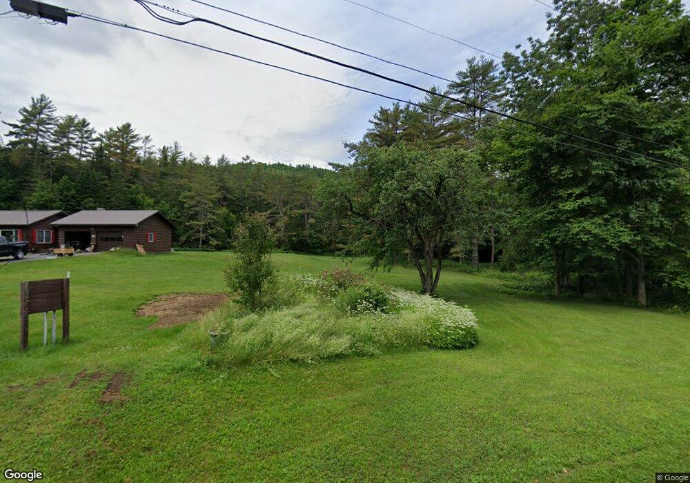
452 Smutty Hollow Rd Monroe, NH 03771
Estimated Value: $378,823 - $474,000
3
Beds
2
Baths
1,816
Sq Ft
$239/Sq Ft
Est. Value
About This Home
This home is located at 452 Smutty Hollow Rd, Monroe, NH 03771 and is currently estimated at $433,706, approximately $238 per square foot. 452 Smutty Hollow Rd is a home located in Grafton County with nearby schools including Monroe Consolidated School.
Ownership History
Date
Name
Owned For
Owner Type
Purchase Details
Closed on
Oct 31, 2011
Sold by
Reardon Robert and Reardon Christine
Bought by
White Aaron Thomas and White Karen S
Current Estimated Value
Home Financials for this Owner
Home Financials are based on the most recent Mortgage that was taken out on this home.
Original Mortgage
$175,000
Interest Rate
4.11%
Mortgage Type
Purchase Money Mortgage
Purchase Details
Closed on
Sep 30, 2003
Sold by
Merchand Keith E and Merchand Delta A
Bought by
Reardon Robert and Reardon Christine
Create a Home Valuation Report for This Property
The Home Valuation Report is an in-depth analysis detailing your home's value as well as a comparison with similar homes in the area
Home Values in the Area
Average Home Value in this Area
Purchase History
| Date | Buyer | Sale Price | Title Company |
|---|---|---|---|
| White Aaron Thomas | $175,000 | -- | |
| Reardon Robert | $179,500 | -- |
Source: Public Records
Mortgage History
| Date | Status | Borrower | Loan Amount |
|---|---|---|---|
| Open | Reardon Robert | $188,000 | |
| Closed | Reardon Robert | $175,000 | |
| Previous Owner | Reardon Robert | $123,000 | |
| Previous Owner | Reardon Robert | $120,000 |
Source: Public Records
Tax History Compared to Growth
Tax History
| Year | Tax Paid | Tax Assessment Tax Assessment Total Assessment is a certain percentage of the fair market value that is determined by local assessors to be the total taxable value of land and additions on the property. | Land | Improvement |
|---|---|---|---|---|
| 2024 | $3,419 | $320,700 | $64,900 | $255,800 |
| 2023 | $3,120 | $320,700 | $64,900 | $255,800 |
| 2022 | $2,336 | $191,600 | $55,900 | $135,700 |
| 2020 | $2,295 | $191,600 | $55,900 | $135,700 |
| 2019 | $2,161 | $190,600 | $55,900 | $134,700 |
| 2018 | $2,038 | $190,600 | $55,900 | $134,700 |
| 2016 | $2,004 | $176,700 | $47,400 | $129,300 |
| 2015 | $1,859 | $176,700 | $47,400 | $129,300 |
| 2014 | $2,119 | $176,700 | $47,400 | $129,300 |
| 2012 | $2,393 | $211,200 | $55,500 | $155,700 |
Source: Public Records
Map
Nearby Homes
- 396 Nelson Rd
- 00 Coppermine Rd Unit 59
- 433 Grange Hall Rd
- 0 Denio Rd Unit 5059200
- 0 Denio Rd Unit 5059211
- 0 Denio Rd Unit 5059215
- 0 Denio Rd Unit 24587948
- 0 Denio Rd
- 0 Denio Rd Unit 5059206
- 0 Denio Rd Unit 24587953
- - Denio Rd
- 1573 US Route 5 S
- Lot 6 N Skinny Ridge Rd
- 88 Mill Hill
- 201 Under the Mountain Rd
- 1952 Monroe Rd
- 1950 Monroe Rd
- 391 Bimson Dr
- 1374 Old Silo Rd
- 441 Tower Rd
- 00 Smutty Hollow Rd
- 396 Smutty Hollow Rd
- 421 Smutty Hollow Rd
- 489 Smutty Hollow Rd
- 490 Smutty Hollow Rd
- 0 Lang Rd Unit 2698323
- 0 Lang Rd Unit 2698292
- 146 Lang Rd
- 102 Lang Rd
- 317 Smutty Hollow Rd
- 498 Smutty Hollow Rd
- 235 Lang Rd
- 93 Lang Rd
- 156 Smutty Hollow Rd
- 646 Smutty Hollow Rd
- 301 Smutty Hollow Rd
- 155 Smutty Hollow Rd
- 18 Burke View Ln
- 132 Smutty Hollow Rd
- 73 Burke View Ln