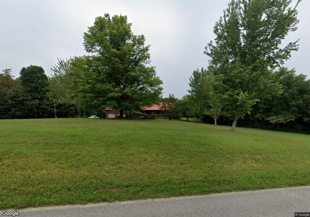
452 Union B Rd Monterey, TN 38574
Estimated Value: $280,940 - $407,000
3
Beds
2
Baths
1,920
Sq Ft
$179/Sq Ft
Est. Value
About This Home
This home is located at 452 Union B Rd, Monterey, TN 38574 and is currently estimated at $343,985, approximately $179 per square foot. 452 Union B Rd is a home located in Overton County with nearby schools including Monterey Mennonite School.
Ownership History
Date
Name
Owned For
Owner Type
Purchase Details
Closed on
Sep 13, 2013
Sold by
Mccowan Odell
Bought by
Dixon John A and Dixon Kimberly D
Current Estimated Value
Home Financials for this Owner
Home Financials are based on the most recent Mortgage that was taken out on this home.
Original Mortgage
$120,000
Outstanding Balance
$89,512
Interest Rate
4.39%
Mortgage Type
Cash
Estimated Equity
$254,473
Purchase Details
Closed on
Nov 1, 2010
Sold by
Hite Ernest L
Bought by
Mccowan Odell
Purchase Details
Closed on
Mar 31, 1992
Bought by
Roberson Marson Q and Wanda Fay
Purchase Details
Closed on
Mar 30, 1992
Purchase Details
Closed on
Mar 10, 1992
Bought by
Roberson Marson Q and Roberson Fay
Purchase Details
Closed on
Mar 9, 1992
Bought by
Roberson Marson Q and Roberson Fay
Purchase Details
Closed on
Oct 12, 1983
Bought by
Roberson Kerbit and Roberson Patsy
Create a Home Valuation Report for This Property
The Home Valuation Report is an in-depth analysis detailing your home's value as well as a comparison with similar homes in the area
Home Values in the Area
Average Home Value in this Area
Purchase History
| Date | Buyer | Sale Price | Title Company |
|---|---|---|---|
| Dixon John A | $150,000 | -- | |
| Mccowan Odell | $100,000 | -- | |
| Roberson Marson Q | -- | -- | |
| -- | -- | -- | |
| Roberson Marson Q | $3,800 | -- | |
| Roberson Marson Q | -- | -- | |
| Roberson Kerbit | -- | -- |
Source: Public Records
Mortgage History
| Date | Status | Borrower | Loan Amount |
|---|---|---|---|
| Open | Dixon John A | $120,000 |
Source: Public Records
Tax History Compared to Growth
Tax History
| Year | Tax Paid | Tax Assessment Tax Assessment Total Assessment is a certain percentage of the fair market value that is determined by local assessors to be the total taxable value of land and additions on the property. | Land | Improvement |
|---|---|---|---|---|
| 2024 | $1,102 | $49,000 | $9,375 | $39,625 |
| 2023 | $966 | $49,000 | $9,375 | $39,625 |
| 2022 | $966 | $49,000 | $9,375 | $39,625 |
| 2021 | $878 | $49,000 | $9,375 | $39,625 |
| 2020 | $878 | $44,575 | $9,375 | $35,200 |
| 2019 | $860 | $38,225 | $6,075 | $32,150 |
| 2018 | $860 | $38,225 | $6,075 | $32,150 |
| 2017 | $860 | $38,225 | $6,075 | $32,150 |
| 2016 | $860 | $38,225 | $6,075 | $32,150 |
| 2015 | $761 | $38,225 | $6,075 | $32,150 |
| 2014 | -- | $38,225 | $6,075 | $32,150 |
| 2013 | -- | $42,200 | $0 | $0 |
Source: Public Records
Map
Nearby Homes
- 4832 Lovejoy Rd
- 3614 Muddy Pond Rd
- 2 Cumberland Lakes Dr
- 7 Cumberland Lakes Dr
- 4 Cumberland Lakes Dr
- 1 Cumberland Lakes Dr
- 0 Hollow Creek Ln
- 000 Hollow Creek Ln
- 0 Lake Shore Dr Unit 1314755
- 417 Lake Shore Dr
- 851 Little Hurricane Ln
- 0 N Laurel Loop Unit RTC2962883
- 0 N Laurel Loop Unit 1298675
- 0 N Laurel Loop Unit 234857
- 0 N Laurel Loop Unit 1291369
- 0 Mountain Ash Dr Unit RTC2963356
- 0 Mountain Ash Dr Unit 1305274
- 0 Mountain Ash Dr Unit RTC2914778
- 0 Mountain Ash Dr Unit 236190
- 00 Austin Dr
- 438 Union B Rd
- 2721 Muddy Pond Rd
- 463 Union B Rd
- 0000 Muddy Pond Rd
- 000 Muddy Pond Rd
- 14.14 Ac Muddy Pond Rd
- 21.96 Ac Muddy Pond Rd
- 23.85 Ac Muddy Pond Rd
- 19.35 Ac Muddy Pond Rd
- 7 ACRES Muddy Pond Rd
- 00 Muddy Pond Rd
- 2633 Muddy Pond Rd
- 0 Muddy Pond Rd
- 2621 Muddy Pond Rd
- 2729 Muddy Pond Rd
- 2704 Union B Rd
- 2741 Muddy Pond Rd
- 129 Melton Ln
- 2583 Muddy Pond Rd
- 513 Union B Rd