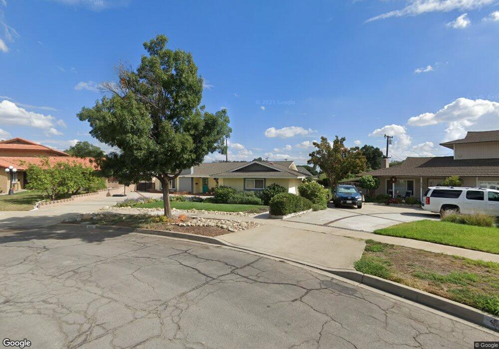
452 W Cornell Ct Upland, CA 91786
Estimated Value: $830,000 - $862,000
4
Beds
2
Baths
1,663
Sq Ft
$508/Sq Ft
Est. Value
About This Home
This home is located at 452 W Cornell Ct, Upland, CA 91786 and is currently estimated at $845,249, approximately $508 per square foot. 452 W Cornell Ct is a home located in San Bernardino County with nearby schools including Magnolia Elementary, Pioneer Junior High School, and Upland High School.
Ownership History
Date
Name
Owned For
Owner Type
Purchase Details
Closed on
Dec 13, 2023
Sold by
Enes Matthew B and Enes Lyza S
Bought by
Enes Family Trust and Enes
Current Estimated Value
Purchase Details
Closed on
Nov 27, 2000
Sold by
Loria Thomas George
Bought by
Enes Matthew B and Enes Lyza S
Home Financials for this Owner
Home Financials are based on the most recent Mortgage that was taken out on this home.
Original Mortgage
$179,200
Interest Rate
7.71%
Create a Home Valuation Report for This Property
The Home Valuation Report is an in-depth analysis detailing your home's value as well as a comparison with similar homes in the area
Home Values in the Area
Average Home Value in this Area
Purchase History
| Date | Buyer | Sale Price | Title Company |
|---|---|---|---|
| Enes Family Trust | -- | None Listed On Document | |
| Enes Matthew B | $224,000 | Old Republic Title Company |
Source: Public Records
Mortgage History
| Date | Status | Borrower | Loan Amount |
|---|---|---|---|
| Previous Owner | Enes Matthew B | $179,200 | |
| Closed | Enes Matthew B | $20,800 |
Source: Public Records
Tax History
| Year | Tax Paid | Tax Assessment Tax Assessment Total Assessment is a certain percentage of the fair market value that is determined by local assessors to be the total taxable value of land and additions on the property. | Land | Improvement |
|---|---|---|---|---|
| 2025 | $4,040 | $364,222 | $105,481 | $258,741 |
| 2024 | $3,910 | $357,081 | $103,413 | $253,668 |
| 2023 | $3,849 | $350,079 | $101,385 | $248,694 |
| 2022 | $3,765 | $343,215 | $99,397 | $243,818 |
| 2021 | $3,757 | $336,485 | $97,448 | $239,037 |
| 2020 | $3,655 | $333,035 | $96,449 | $236,586 |
| 2019 | $3,641 | $326,505 | $94,558 | $231,947 |
| 2018 | $3,553 | $320,103 | $92,704 | $227,399 |
| 2017 | $3,449 | $313,826 | $90,886 | $222,940 |
| 2016 | $3,248 | $307,673 | $89,104 | $218,569 |
| 2015 | $3,173 | $303,052 | $87,766 | $215,286 |
| 2014 | $3,090 | $297,116 | $86,047 | $211,069 |
Source: Public Records
Map
Nearby Homes
- 1403 N Tulare Way
- 1318 N Laurel Ave
- 1234 N Laurel Ave
- 1270 N Euclid Ave
- 910 N Redding Way Unit I
- 910 N Redding Way Unit F
- 171 E 14th St
- 855 N Palm Ave
- 1377 N Shelley Ave
- 1019 W Pine St
- 1503 N Albright Ave
- 856 Altura Way
- 846 Amber Ct
- 762 N Vallejo Way
- 1089 W Pine St Unit E
- 1219 Winston Ct
- 0 Bay St Unit AR25093919
- 693 N Euclid Ave
- 617 N Ukiah Way
- 635 W 16th St
- 1324 N Taylor Way
- 460 W Cornell Ct
- 435 W 13th St
- 415 W 13th St
- 457 W 13th St
- 1328 N Taylor Way
- 1316 N Tulare Way
- 1315 N Stanford Ave
- 1309 N Stanford Ave
- 1323 N Stanford Ave
- 491 W 13th St
- 1331 N Taylor Way
- 1334 N Taylor Way
- 1303 N Stanford Ave
- 1327 N Stanford Ave
- 505 W Cornell Ct
- 1333 N Stanford Ave
- 434 W 13th St
- 1340 N Taylor Way
- 1337 N Taylor Way
Your Personal Tour Guide
Ask me questions while you tour the home.