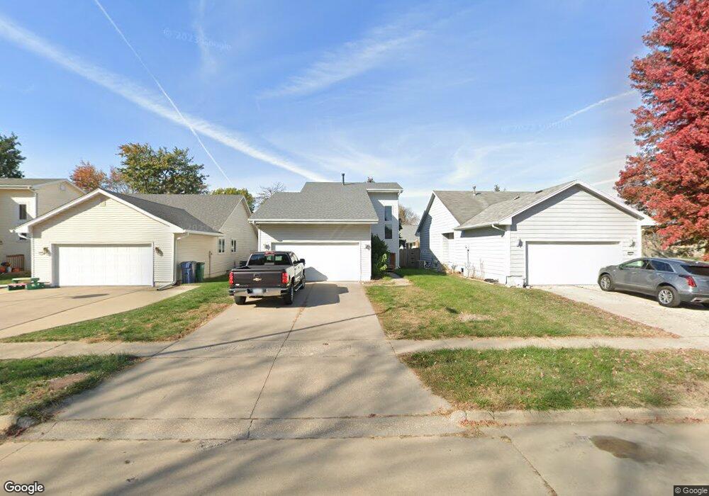
4520 83rd St Urbandale, IA 50322
Estimated Value: $276,000 - $358,000
3
Beds
3
Baths
1,564
Sq Ft
$197/Sq Ft
Est. Value
About This Home
This home is located at 4520 83rd St, Urbandale, IA 50322 and is currently estimated at $308,681, approximately $197 per square foot. 4520 83rd St is a home located in Polk County with nearby schools including Olmsted Elementary School, Urbandale Middle School, and Urbandale High School.
Ownership History
Date
Name
Owned For
Owner Type
Purchase Details
Closed on
Jan 26, 2002
Sold by
Crabb Michael R and Crabb Roxann M
Bought by
Otten Timothy L
Current Estimated Value
Home Financials for this Owner
Home Financials are based on the most recent Mortgage that was taken out on this home.
Original Mortgage
$132,793
Outstanding Balance
$53,802
Interest Rate
6.92%
Estimated Equity
$254,879
Create a Home Valuation Report for This Property
The Home Valuation Report is an in-depth analysis detailing your home's value as well as a comparison with similar homes in the area
Home Values in the Area
Average Home Value in this Area
Purchase History
| Date | Buyer | Sale Price | Title Company |
|---|---|---|---|
| Otten Timothy L | $136,500 | -- |
Source: Public Records
Mortgage History
| Date | Status | Borrower | Loan Amount |
|---|---|---|---|
| Open | Otten Timothy L | $132,793 |
Source: Public Records
Tax History Compared to Growth
Tax History
| Year | Tax Paid | Tax Assessment Tax Assessment Total Assessment is a certain percentage of the fair market value that is determined by local assessors to be the total taxable value of land and additions on the property. | Land | Improvement |
|---|---|---|---|---|
| 2025 | $4,470 | $274,500 | $54,800 | $219,700 |
| 2024 | $4,470 | $257,300 | $50,700 | $206,600 |
| 2023 | $4,264 | $257,300 | $50,700 | $206,600 |
| 2022 | $4,214 | $207,600 | $41,800 | $165,800 |
| 2021 | $4,026 | $207,600 | $41,800 | $165,800 |
| 2020 | $3,954 | $188,800 | $38,000 | $150,800 |
| 2019 | $3,476 | $188,800 | $38,000 | $150,800 |
| 2018 | $3,346 | $159,700 | $34,100 | $125,600 |
| 2017 | $3,120 | $159,700 | $34,100 | $125,600 |
| 2016 | $3,038 | $146,900 | $30,900 | $116,000 |
| 2015 | $3,038 | $146,900 | $30,900 | $116,000 |
| 2014 | $2,836 | $141,900 | $29,300 | $112,600 |
Source: Public Records
Map
Nearby Homes
- 4608 83rd St
- 8119 Goodman Dr
- 4719 84th St Unit A
- 8217 Oakwood Dr
- 8002 Goodman Dr
- 8641 Alpine Dr Unit E
- 8220 Twana Dr
- 8626 Alpine Dr Unit D
- 4480 87th St Unit 10
- 8523 Hickory Ln
- 4853 84th St
- 4821 86th St Unit 26
- 4904 83rd St
- 4837 86th St Unit 17
- 4829 86th St Unit 6
- 4705 78th St
- 4421 77th St
- 4708 89th St
- Danbury Plan at Oakwood Haven
- Carson Plan at Oakwood Haven