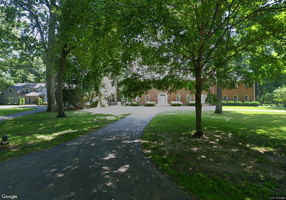
4520 Brookside Rd Ottawa Hills, OH 43615
Estimated Value: $1,279,000 - $1,428,000
5
Beds
6
Baths
7,359
Sq Ft
$186/Sq Ft
Est. Value
About This Home
This home is located at 4520 Brookside Rd, Ottawa Hills, OH 43615 and is currently estimated at $1,366,017, approximately $185 per square foot. 4520 Brookside Rd is a home located in Lucas County with nearby schools including Ottawa Hills Elementary School, Ottawa Hills High School, and Toledo Junior Academy.
Ownership History
Date
Name
Owned For
Owner Type
Purchase Details
Closed on
Jun 15, 2020
Sold by
Karakas Steven & Isabella Co-Trustees
Bought by
Karakas Isabella
Current Estimated Value
Purchase Details
Closed on
Jun 19, 2000
Sold by
Isabelle Karakas and Karakas Isabella
Bought by
Karakas Steven and Karakas Isabella
Create a Home Valuation Report for This Property
The Home Valuation Report is an in-depth analysis detailing your home's value as well as a comparison with similar homes in the area
Home Values in the Area
Average Home Value in this Area
Purchase History
| Date | Buyer | Sale Price | Title Company |
|---|---|---|---|
| Karakas Isabella | -- | -- | |
| Karakas Steven | -- | -- |
Source: Public Records
Tax History Compared to Growth
Tax History
| Year | Tax Paid | Tax Assessment Tax Assessment Total Assessment is a certain percentage of the fair market value that is determined by local assessors to be the total taxable value of land and additions on the property. | Land | Improvement |
|---|---|---|---|---|
| 2024 | $18,152 | $426,160 | $73,325 | $352,835 |
| 2023 | $26,052 | $281,995 | $51,835 | $230,160 |
| 2022 | $26,350 | $281,995 | $51,835 | $230,160 |
| 2021 | $26,702 | $281,995 | $51,835 | $230,160 |
| 2020 | $28,735 | $273,385 | $50,190 | $223,195 |
| 2019 | $26,117 | $273,385 | $50,190 | $223,195 |
| 2018 | $26,854 | $273,385 | $50,190 | $223,195 |
| 2017 | $27,827 | $272,300 | $49,210 | $223,090 |
| 2016 | $27,572 | $778,000 | $140,600 | $637,400 |
| 2015 | $27,677 | $778,000 | $140,600 | $637,400 |
| 2014 | $27,053 | $272,300 | $49,210 | $223,090 |
| 2013 | $27,053 | $272,300 | $49,210 | $223,090 |
Source: Public Records
Map
Nearby Homes
- 4545 Indian Rd
- 2720 Derby Rd
- 4239 W Central Ave
- 3205 Talmadge Rd
- 3221 Talmadge Rd
- 4028 Brookside Rd
- 4705 W Bancroft St
- 4709 W Bancroft St
- 2949 Secretariat Rd
- 4519 W Bancroft St
- 3439 Shakespeare Ln
- 2222 Talmadge Rd
- 4515 W Bancroft St
- 4343 W Bancroft St
- 3450 Shakespeare Ln
- 5212 Regency Dr
- 4243 W Bancroft St
- 2026 Pautucket Rd
- 2130 Richards Rd
- 2009 Garden Ln
- 4530 Brookside Rd
- 4560 Forestview Dr
- 0 Brookside Rd Unit 5027681
- 0 Brookside Rd Unit 4629610
- 0 Brookside Rd Unit 6081973
- 0 Brookside Rd Unit 6066320
- 2805 Westchester Rd
- 2727 Westchester Rd
- 2817 Westchester Rd
- 2709 Westchester Rd
- 4557 Forestview Dr
- 2829 Westchester Rd
- 4525 Brookside Rd
- 4569 Forestview Dr
- 4535 Brookside Rd
- 2737 Westchester Rd
- 4543 Forestview Dr
- 2675 Forestvale Rd
- 4544 Brookside Rd
- 4505 Forestview Dr