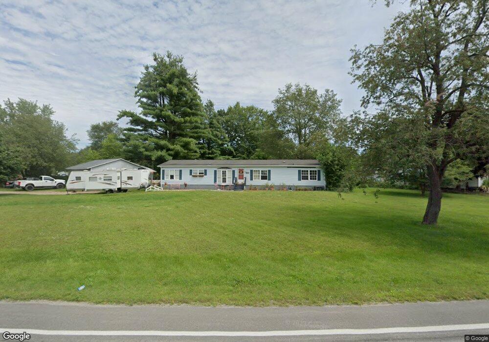
4520 Brott Rd Ruby, MI 48049
Ruby NeighborhoodEstimated Value: $214,000 - $304,000
4
Beds
2
Baths
2,016
Sq Ft
$125/Sq Ft
Est. Value
About This Home
This home is located at 4520 Brott Rd, Ruby, MI 48049 and is currently estimated at $251,333, approximately $124 per square foot. 4520 Brott Rd is a home located in St. Clair County with nearby schools including Yale Senior High School.
Ownership History
Date
Name
Owned For
Owner Type
Purchase Details
Closed on
Nov 10, 2016
Sold by
Swinson Theresa L and Swinson Jack
Bought by
Swinson Daniel
Current Estimated Value
Purchase Details
Closed on
Sep 6, 2016
Sold by
Swinson James and Swinson Jolene
Bought by
Swinson Theresa L and Swinson Jack
Purchase Details
Closed on
Oct 7, 2015
Sold by
Swinson Lois
Bought by
Swinson James
Purchase Details
Closed on
Jan 28, 2010
Sold by
First Franklin Financial Corporation
Bought by
Federal National Mortgage Association
Purchase Details
Closed on
Jan 21, 2010
Sold by
Wehrwein Thomas A and Wehrwein Juanita M
Bought by
First Franklin Financial Corporation
Create a Home Valuation Report for This Property
The Home Valuation Report is an in-depth analysis detailing your home's value as well as a comparison with similar homes in the area
Home Values in the Area
Average Home Value in this Area
Purchase History
| Date | Buyer | Sale Price | Title Company |
|---|---|---|---|
| Swinson Daniel | -- | Attorney | |
| Swinson Theresa L | -- | Attorney | |
| Swinson James | -- | -- | |
| Swinson James | -- | -- | |
| Federal National Mortgage Association | -- | None Available | |
| First Franklin Financial Corporation | $129,563 | None Available |
Source: Public Records
Tax History
| Year | Tax Paid | Tax Assessment Tax Assessment Total Assessment is a certain percentage of the fair market value that is determined by local assessors to be the total taxable value of land and additions on the property. | Land | Improvement |
|---|---|---|---|---|
| 2025 | $702 | $110,300 | $0 | $0 |
| 2024 | $681 | $111,700 | $0 | $0 |
| 2023 | $648 | $102,000 | $0 | $0 |
| 2022 | $1,560 | $90,600 | $0 | $0 |
| 2020 | $1,351 | $81,100 | $23,300 | $57,800 |
| 2019 | $1,335 | $67,100 | $0 | $0 |
| 2018 | $1,316 | $68,900 | $0 | $0 |
| 2017 | $1,301 | $64,600 | $0 | $0 |
| 2016 | $549 | $64,600 | $0 | $0 |
| 2015 | -- | $52,300 | $0 | $52,300 |
| 2014 | -- | $51,300 | $0 | $51,300 |
| 2013 | -- | $61,500 | $0 | $0 |
Source: Public Records
Map
Nearby Homes
- 7187 Phillips Rd
- 0 Metcalf Rd Unit 20250029560
- 3309 Rabidue Rd
- 7669 Rynn Rd
- 0 Rynn Rd Unit 50202174
- 0000 Conrad Dr
- 6550 Lapeer Rd
- 6801 Lapeer Rd
- 7560 Metcalf Rd
- 7627 Lapeer Rd
- 3975 Wadhams Rd
- 00000 Lapeer Rd
- I-69 vac Taylor Dr
- 0000 V/L Lapeer Rd
- 2625 Barth Rd
- 000 Metcalf Rd
- 00 Metcalf Rd
- 521 Bush Lake Ln
- 504 Bush Lake Ln
- 8860 Bryce Rd
- 6860 Imlay City Rd
- 4526 Brott Rd
- 4526 Brott Rd
- 6840 Imlay City Rd
- 6855 Mels Dr
- 6845 Mels Dr
- 6820 Imlay City Rd
- 6871 Imlay City Rd
- 6825 Mels Dr
- 6863 Imlay City Rd
- 4548 Brott Rd
- 6800 Imlay City Rd
- 6805 Mels Dr
- 4480 Brott Rd
- 6854 Mels Dr
- 6764 Imlay City Rd
- 6885 Imlay City Rd
- 6877 Imlay City Rd
- 6877 Imlay City Rd Unit CITY
- 4554 Brott Rd
Your Personal Tour Guide
Ask me questions while you tour the home.