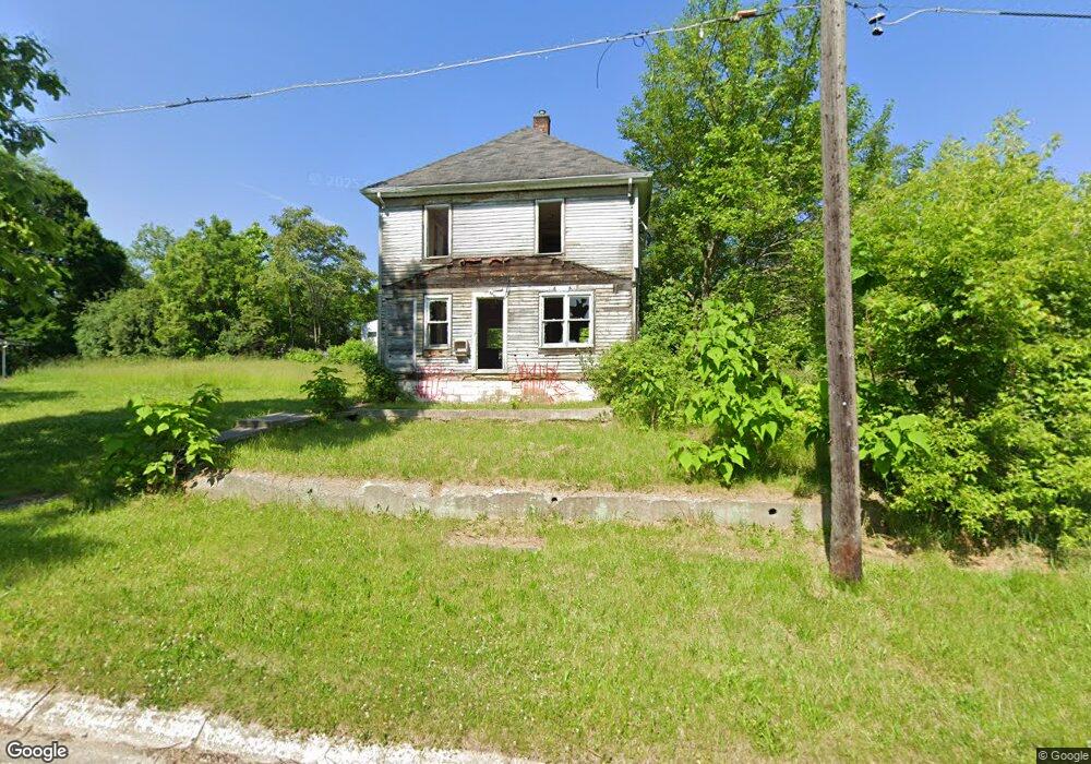
4521 Roberts St Flint, MI 48505
King Avenue Plus NeighborhoodEstimated Value: $30,000 - $49,000
4
Beds
1
Bath
1,344
Sq Ft
$29/Sq Ft
Est. Value
About This Home
This home is located at 4521 Roberts St, Flint, MI 48505 and is currently estimated at $39,500, approximately $29 per square foot. 4521 Roberts St is a home located in Genesee County with nearby schools including Brownell STEM Academy, The New Standard Academy, and Eagle's Nest Academy.
Ownership History
Date
Name
Owned For
Owner Type
Purchase Details
Closed on
Jan 15, 2008
Sold by
Mullins Hillard B and Mullins Kelly A
Bought by
Affordable Living Services
Current Estimated Value
Purchase Details
Closed on
Sep 9, 2005
Sold by
Fannie Mae
Bought by
Mullins Hillard B and Mullins Kelly A
Purchase Details
Closed on
Aug 27, 2004
Sold by
Indymac Bank Fsb
Bought by
Federal National Mortgage Association
Purchase Details
Closed on
Aug 25, 2004
Sold by
Swinford Kent
Bought by
Indymac Bank Fsb
Purchase Details
Closed on
Aug 28, 1999
Sold by
Brown J
Bought by
Gaddis Freddie and Gaddis Linda
Create a Home Valuation Report for This Property
The Home Valuation Report is an in-depth analysis detailing your home's value as well as a comparison with similar homes in the area
Home Values in the Area
Average Home Value in this Area
Purchase History
| Date | Buyer | Sale Price | Title Company |
|---|---|---|---|
| Affordable Living Services | -- | None Available | |
| Mullins Hillard B | $25,000 | Guaranty Title Company | |
| Federal National Mortgage Association | -- | -- | |
| Indymac Bank Fsb | $29,556 | -- | |
| Gaddis Freddie | $2,000 | First American Title Ins Co |
Source: Public Records
Tax History Compared to Growth
Tax History
| Year | Tax Paid | Tax Assessment Tax Assessment Total Assessment is a certain percentage of the fair market value that is determined by local assessors to be the total taxable value of land and additions on the property. | Land | Improvement |
|---|---|---|---|---|
| 2025 | -- | $0 | $0 | $0 |
| 2024 | -- | $0 | $0 | $0 |
| 2023 | -- | $0 | $0 | $0 |
| 2022 | $0 | $0 | $0 | $0 |
| 2021 | $0 | $0 | $0 | $0 |
| 2020 | $0 | $0 | $0 | $0 |
| 2019 | $457 | $0 | $0 | $0 |
| 2018 | $221 | $0 | $0 | $0 |
| 2017 | $320 | $0 | $0 | $0 |
| 2016 | $457 | $0 | $0 | $0 |
| 2015 | -- | $0 | $0 | $0 |
| 2014 | -- | $0 | $0 | $0 |
| 2012 | -- | $6,300 | $0 | $0 |
Source: Public Records
Map
Nearby Homes
- 733 Black Ave
- 0 E Marengo Ave Unit 50166417
- 4028 North St
- 680 E Pierson Rd
- 726 E Parkway Ave
- 618 E Pulaski Ave
- 606 Damon St
- 618 E Parkway Ave
- 418 Damon St
- 370 E Moore St
- 613 E van Wagoner Ave
- 313 Edwin Ave
- 3810 Marvin St
- 350 E Mott Ave
- 638 E Pasadena Ave
- 802 E Russell Ave
- 124 W Flint Park Blvd
- 3312 Buick St
- 1218 E Piper Ave
- 306 W Bishop Ave
- 4513 Roberts St
- 4517 Roberts St
- 4524 Carlton St
- 4609 Roberts St
- 4602 Roberts St
- 4602 Carlton St
- 4520 Carlton St
- 4520 Roberts St
- 4516 Carlton St
- 4610 Roberts St
- 4512 Roberts St
- 917 Black Ave
- 915 Black Ave
- 909 Black Ave
- 953 Black Ave
- 4605 Industrial Ave
- 907 Black Ave
- 4523 Carlton St
- 4605 Carlton St
- 4511 Carlton St