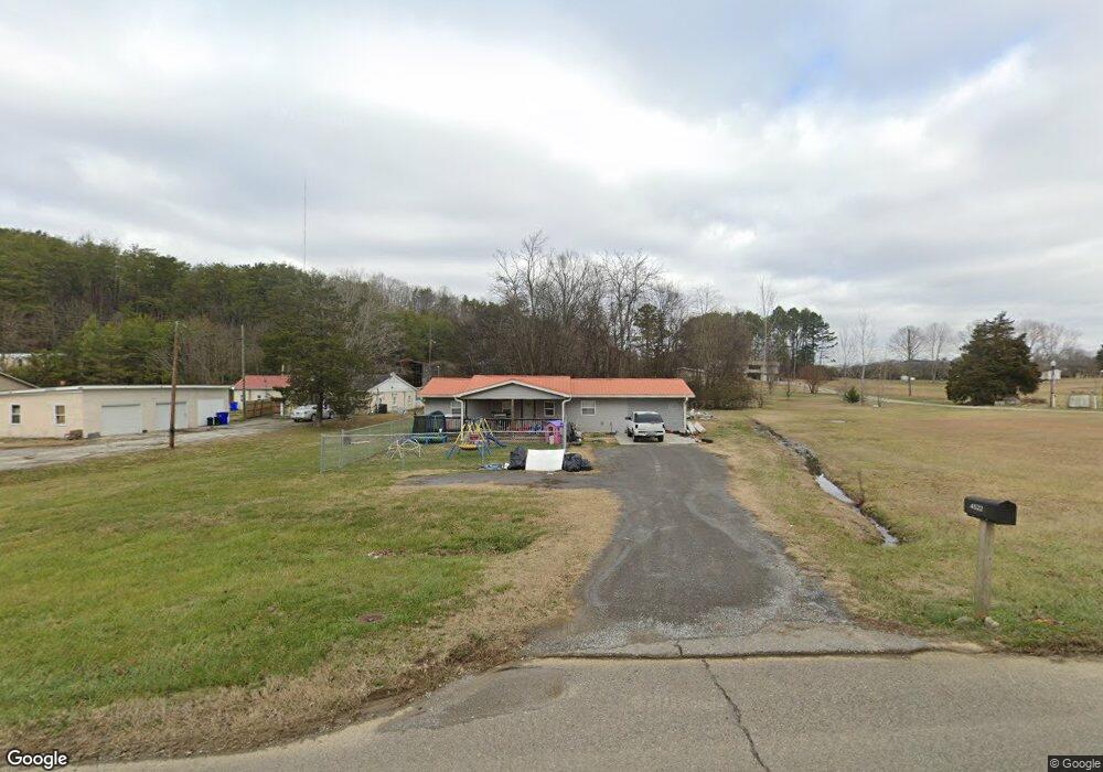
4522 Circle Rd Corryton, TN 37721
Estimated Value: $131,000 - $258,000
3
Beds
1
Bath
1,160
Sq Ft
$160/Sq Ft
Est. Value
About This Home
This home is located at 4522 Circle Rd, Corryton, TN 37721 and is currently estimated at $186,035, approximately $160 per square foot. 4522 Circle Rd is a home located in Knox County with nearby schools including East Knox Elementary School, Carter Middle School, and Carter High School.
Ownership History
Date
Name
Owned For
Owner Type
Purchase Details
Closed on
Dec 9, 2016
Sold by
Morgan Robert
Bought by
Cross Coty M and Patterson Veronica L
Current Estimated Value
Home Financials for this Owner
Home Financials are based on the most recent Mortgage that was taken out on this home.
Original Mortgage
$69,898
Outstanding Balance
$55,752
Interest Rate
3.47%
Mortgage Type
New Conventional
Estimated Equity
$130,283
Purchase Details
Closed on
Dec 6, 2000
Sold by
Ellis Frank Edward and Mayes Barbara Jean
Bought by
Mcgaha James M and Mcgaha Lola F
Create a Home Valuation Report for This Property
The Home Valuation Report is an in-depth analysis detailing your home's value as well as a comparison with similar homes in the area
Home Values in the Area
Average Home Value in this Area
Purchase History
| Date | Buyer | Sale Price | Title Company |
|---|---|---|---|
| Cross Coty M | $69,200 | East Tennessee Title | |
| Mcgaha James M | $25,000 | -- |
Source: Public Records
Mortgage History
| Date | Status | Borrower | Loan Amount |
|---|---|---|---|
| Open | Cross Coty M | $69,898 |
Source: Public Records
Tax History
| Year | Tax Paid | Tax Assessment Tax Assessment Total Assessment is a certain percentage of the fair market value that is determined by local assessors to be the total taxable value of land and additions on the property. | Land | Improvement |
|---|---|---|---|---|
| 2025 | $386 | $24,850 | $0 | $0 |
| 2024 | $386 | $24,850 | $0 | $0 |
| 2023 | $386 | $24,850 | $0 | $0 |
| 2022 | $386 | $24,850 | $0 | $0 |
| 2021 | $368 | $17,375 | $0 | $0 |
| 2020 | $368 | $17,375 | $0 | $0 |
| 2019 | $368 | $17,375 | $0 | $0 |
| 2018 | $368 | $17,375 | $0 | $0 |
| 2017 | $368 | $17,375 | $0 | $0 |
| 2016 | $213 | $0 | $0 | $0 |
| 2015 | $213 | $0 | $0 | $0 |
| 2014 | $213 | $0 | $0 | $0 |
Source: Public Records
Map
Nearby Homes
- 10560 Pleasant Hollow Rd
- 10560 Pleasant Hollow Way
- 10745 Rutledge Pike
- 10050 Rutledge Pike
- 10101 Rutledge Pike
- 11121 Mckinney Rd
- 377 Eastland Park Dr
- 409 Eastland Park Dr
- 3536 Dockery Dr
- 419 Eastland Park Dr
- 0 Graham Rd
- 0 Rutledge Pike Unit 1328547
- 323 Foster Rd
- 0 Rutledge Pike Unit 1270357
- 503 Emory Rd
- 240 Old Rutledge Pike W
- 10724 E Emory Rd
- 228 Old Rutledge Pike W
- 446 Emory Rd
- Lot 7 Rutledge Pike
- 4702 Circle Rd
- 4706 Circle Rd
- 4521 Circle Rd
- 4512 Circle Rd
- 4708 Circle Rd
- 4704 Circle Rd
- 4712 Circle Rd
- 4507 Circle Rd
- 4723 Circle Rd
- 4508 Circle Rd
- 4716 Circle Rd
- 4520 Circle Rd
- 4500 Circle Rd
- 10607 Old Rutledge Pike
- 10601 Old Rutledge Pike
- 10631 Old Rutledge Pike
- 10637 Old Rutledge Pike
- 10633 Old Rutledge Pike
- 4455 Strong Rd
- 10508 Rutledge Pike
Your Personal Tour Guide
Ask me questions while you tour the home.