4523 S Concord St Unit 16 Davenport, IA 52802
Outer Davenport/Bettendorf NeighborhoodEstimated Value: $129,000 - $145,000
2
Beds
1
Bath
1,276
Sq Ft
$107/Sq Ft
Est. Value
About This Home
This home is located at 4523 S Concord St Unit 16, Davenport, IA 52802 and is currently estimated at $135,990, approximately $106 per square foot. 4523 S Concord St Unit 16 is a home located in Scott County with nearby schools including Liberty Elementary School, Buffalo Elementary School, and Walcott Intermediate School.
Create a Home Valuation Report for This Property
The Home Valuation Report is an in-depth analysis detailing your home's value as well as a comparison with similar homes in the area
Home Values in the Area
Average Home Value in this Area
Tax History Compared to Growth
Tax History
| Year | Tax Paid | Tax Assessment Tax Assessment Total Assessment is a certain percentage of the fair market value that is determined by local assessors to be the total taxable value of land and additions on the property. | Land | Improvement |
|---|---|---|---|---|
| 2025 | $2,297 | $125,130 | $0 | $125,130 |
| 2024 | $2,182 | $125,130 | $0 | $125,130 |
| 2023 | $2,326 | $125,130 | $0 | $125,130 |
| 2022 | $2,336 | $108,900 | $0 | $108,900 |
| 2021 | $2,336 | $108,900 | $0 | $108,900 |
| 2020 | $2,419 | $108,900 | $0 | $108,900 |
| 2019 | $2,314 | $103,170 | $0 | $103,170 |
| 2018 | $2,266 | $103,170 | $0 | $103,170 |
| 2017 | $2,322 | $103,170 | $0 | $103,170 |
| 2016 | $2,236 | $102,100 | $0 | $0 |
| 2015 | $2,236 | $101,150 | $0 | $0 |
| 2014 | $2,246 | $98,720 | $0 | $0 |
| 2013 | $2,154 | $0 | $0 | $0 |
| 2012 | -- | $82,020 | $0 | $82,020 |
Source: Public Records
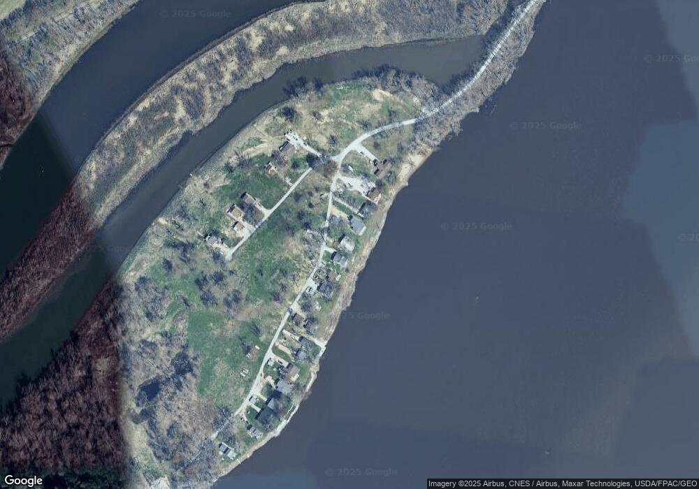
Map
Nearby Homes
- 4523 S Concord St
- 4616 S Concord St
- 4519 S Concord St
- 5418 Chapel Hill Rd
- 2620-2626 Rockingham Rd
- S Utah Ave
- Lot 1-4 Baltic 118th Ave
- Lot 1 Baltic 118th Ave
- Lot 2 Baltic 118th Ave
- Lot 4 Baltic 118th Ave
- Lot 3 Baltic 118th Ave
- 0 S Utah Ave
- 3412 Michigan
- 12080 100th Ave
- 3228 Sunnyside Ave
- 9933 123rd St
- 1109 S Michigan Ave
- 11501 Devils Creek Rd
- 3207 Homestead Ave
- 11261 140th St
- 4523 S Concord St Unit F
- 4523 S Concord St Unit I
- 4523 S Concord St Unit G
- 4523 S Concord St Unit D
- 4523 S Concord St Unit 18
- 4523 S Concord St Unit 15
- 4523 S Concord St Unit 14
- 4523 S Concord St Unit 13
- 4523 S Concord St Unit 11
- 4523 S Concord St Unit 10
- 4523 S Concord St Unit 9
- 4523 S Concord St Unit 7
- 4523 S Concord St Unit 6
- 4523 S Concord St Unit 5
- 4523 S Concord St Unit 4
- 4523 S Concord St Unit 3
- 4523 S Concord St Unit 2
- 4523 S Concord St Unit O
- 4523 S Concord St Unit 1
- 4523 S Concord St Unit 2