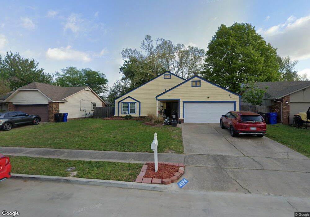
4524 W Uniontown St Broken Arrow, OK 74012
Southbrook NeighborhoodEstimated Value: $205,000 - $234,000
3
Beds
2
Baths
1,512
Sq Ft
$142/Sq Ft
Est. Value
About This Home
This home is located at 4524 W Uniontown St, Broken Arrow, OK 74012 and is currently estimated at $214,280, approximately $141 per square foot. 4524 W Uniontown St is a home located in Tulsa County with nearby schools including McAuliffe Elementary School, Union 8th Grade Center, and Union 6th-7th Grade Center.
Ownership History
Date
Name
Owned For
Owner Type
Purchase Details
Closed on
Jan 25, 2006
Sold by
Aveilhe George and Aveilhe Jana
Bought by
Peckman Michelle L
Current Estimated Value
Home Financials for this Owner
Home Financials are based on the most recent Mortgage that was taken out on this home.
Original Mortgage
$96,475
Outstanding Balance
$62,020
Interest Rate
9.04%
Mortgage Type
Fannie Mae Freddie Mac
Estimated Equity
$152,260
Purchase Details
Closed on
Apr 1, 1993
Purchase Details
Closed on
Dec 1, 1972
Create a Home Valuation Report for This Property
The Home Valuation Report is an in-depth analysis detailing your home's value as well as a comparison with similar homes in the area
Home Values in the Area
Average Home Value in this Area
Purchase History
| Date | Buyer | Sale Price | Title Company |
|---|---|---|---|
| Peckman Michelle L | $113,500 | Ward Title & Closing | |
| -- | $72,000 | -- | |
| -- | $70,500 | -- |
Source: Public Records
Mortgage History
| Date | Status | Borrower | Loan Amount |
|---|---|---|---|
| Open | Peckman Michelle L | $96,475 |
Source: Public Records
Tax History
| Year | Tax Paid | Tax Assessment Tax Assessment Total Assessment is a certain percentage of the fair market value that is determined by local assessors to be the total taxable value of land and additions on the property. | Land | Improvement |
|---|---|---|---|---|
| 2025 | $2,218 | $16,893 | $2,424 | $14,469 |
| 2024 | $1,978 | $16,089 | $2,607 | $13,482 |
| 2023 | $1,978 | $15,323 | $2,571 | $12,752 |
| 2022 | $1,899 | $14,593 | $2,898 | $11,695 |
| 2021 | $1,814 | $13,898 | $2,760 | $11,138 |
| 2020 | $1,739 | $13,237 | $3,102 | $10,135 |
| 2019 | $1,737 | $13,237 | $3,102 | $10,135 |
| 2018 | $1,732 | $13,237 | $3,102 | $10,135 |
| 2017 | $1,738 | $13,109 | $3,072 | $10,037 |
| 2016 | $1,633 | $12,485 | $3,102 | $9,383 |
| 2015 | $1,634 | $12,485 | $3,102 | $9,383 |
| 2014 | $1,624 | $12,485 | $3,102 | $9,383 |
Source: Public Records
Map
Nearby Homes
- 1908 N Cypress Ave
- 4433 W Reno St
- 4441 W Queens St
- 11329 E 61st St
- 6526 S 111th East Ave
- 2416 W Lansing Place
- 1204 N Willow Ave
- 905 N Butternut Ave
- 1316 N Nyssa Ave
- 705 N Aster Ave
- 4501 W Hartford St
- 3413 W Norman St
- 6312 S 101st East Ave
- 3108 W Norman Cir
- 3033 W Oakland St
- 4313 W Detroit Place
- 6712 S 136th Ave E
- 0 S 136th East Ave
- 9707 E 62nd St
- 2909 W Oakland St
- 4520 W Uniontown St
- 4528 W Uniontown St
- 11622 E 64th St
- 11616 E 64th St
- 11626 E 64th St
- 4516 W Uniontown St
- 4532 W Uniontown St
- 11612 E 64th St
- 4525 W Uniontown St
- 4529 W Uniontown St
- 11632 E 64th St
- 4521 W Uniontown St
- 11606 E 64th St
- 4517 W Uniontown St
- 1924 N Cypress Ave
- 1920 N Cypress Ave
- 4513 W Uniontown St
- 4508 W Uniontown St
- 11623 E 64th St
- 11617 E 64th St
