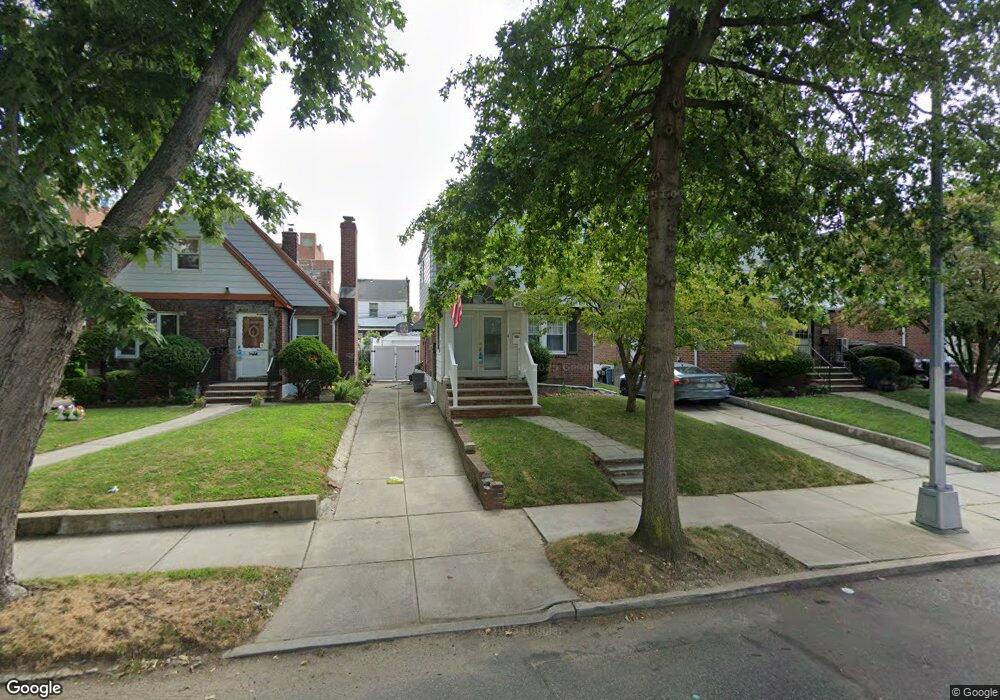
4525 166th St Flushing, NY 11358
East Flushing NeighborhoodEstimated Value: $970,000 - $1,082,000
Studio
--
Bath
1,240
Sq Ft
$825/Sq Ft
Est. Value
About This Home
This home is located at 4525 166th St, Flushing, NY 11358 and is currently estimated at $1,023,546, approximately $825 per square foot. 4525 166th St is a home located in Queens County with nearby schools including P.S. 107 Thomas A Dooley, I.S. 25 Adrien Block, and Francis Lewis High School.
Ownership History
Date
Name
Owned For
Owner Type
Purchase Details
Closed on
May 20, 2004
Sold by
Dima Michael
Bought by
Kostic Michael and Kostic Tracy
Current Estimated Value
Home Financials for this Owner
Home Financials are based on the most recent Mortgage that was taken out on this home.
Original Mortgage
$12,000
Outstanding Balance
$5,800
Interest Rate
5.94%
Estimated Equity
$1,017,746
Purchase Details
Closed on
Oct 29, 1999
Sold by
Silvagni Alberto and Silvagni Ida
Bought by
Dima Michael
Home Financials for this Owner
Home Financials are based on the most recent Mortgage that was taken out on this home.
Original Mortgage
$241,000
Interest Rate
7.37%
Create a Home Valuation Report for This Property
The Home Valuation Report is an in-depth analysis detailing your home's value as well as a comparison with similar homes in the area
Home Values in the Area
Average Home Value in this Area
Purchase History
| Date | Buyer | Sale Price | Title Company |
|---|---|---|---|
| Kostic Michael | $470,000 | -- | |
| Kostic Michael | $470,000 | -- | |
| Dima Michael | $305,000 | -- | |
| Dima Michael | $305,000 | -- |
Source: Public Records
Mortgage History
| Date | Status | Borrower | Loan Amount |
|---|---|---|---|
| Open | Kostic Michael | $12,000 | |
| Closed | Kostic Michael | $12,000 | |
| Previous Owner | Kostic Michael | $333,000 | |
| Previous Owner | Dima Michael | $241,000 |
Source: Public Records
Tax History
| Year | Tax Paid | Tax Assessment Tax Assessment Total Assessment is a certain percentage of the fair market value that is determined by local assessors to be the total taxable value of land and additions on the property. | Land | Improvement |
|---|---|---|---|---|
| 2025 | $8,355 | $45,574 | $12,600 | $32,974 |
| 2024 | $8,367 | $42,996 | $12,640 | $30,356 |
| 2023 | $7,923 | $40,846 | $11,410 | $29,436 |
| 2022 | $7,438 | $53,040 | $16,140 | $36,900 |
| 2021 | $7,847 | $51,600 | $16,140 | $35,460 |
| 2020 | $7,743 | $54,120 | $16,140 | $37,980 |
| 2019 | $7,202 | $49,680 | $16,140 | $33,540 |
| 2018 | $6,641 | $34,038 | $11,417 | $22,621 |
| 2017 | $6,274 | $32,246 | $13,063 | $19,183 |
| 2016 | $6,136 | $32,246 | $13,063 | $19,183 |
| 2015 | $3,449 | $31,648 | $13,814 | $17,834 |
| 2014 | $3,449 | $29,859 | $14,636 | $15,223 |
Source: Public Records
Map
Nearby Homes
- 45-18 166th St
- 45-25 168th St
- 45-74 164th St
- 4564 170th St
- 163-02 45th Ave
- 4328 168th St
- 43-58 163rd St
- 43-33 163rd St
- 46-12 161st St Unit 1D
- 46-12 161st St Unit 2C
- 45-57 160th St
- 43-27 162nd St
- 47-04 167th St
- 4363 160th St
- 4344 161st St
- 47-21 162nd St
- 167-22 Northern Blvd
- 47-23 164th St
- 171-06 Bagley Ave
- 46-05 158th St
Your Personal Tour Guide
Ask me questions while you tour the home.