4527 J M Loop E Island Park, ID 83429
Estimated Value: $1,096,000 - $1,201,000
4
Beds
3
Baths
3,732
Sq Ft
$306/Sq Ft
Est. Value
About This Home
This home is located at 4527 J M Loop E, Island Park, ID 83429 and is currently estimated at $1,143,699, approximately $306 per square foot. 4527 J M Loop E is a home located in Fremont County with nearby schools including Ashton Elementary School and North Fremont Junior/Senior High School.
Ownership History
Date
Name
Owned For
Owner Type
Purchase Details
Closed on
Jul 14, 2010
Sold by
Josephson Rentals Llc
Bought by
Rollman John and Rollman Donna B
Current Estimated Value
Home Financials for this Owner
Home Financials are based on the most recent Mortgage that was taken out on this home.
Original Mortgage
$317,000
Interest Rate
4.76%
Mortgage Type
Purchase Money Mortgage
Create a Home Valuation Report for This Property
The Home Valuation Report is an in-depth analysis detailing your home's value as well as a comparison with similar homes in the area
Purchase History
| Date | Buyer | Sale Price | Title Company |
|---|---|---|---|
| Rollman John | -- | First American Title Co |
Source: Public Records
Mortgage History
| Date | Status | Borrower | Loan Amount |
|---|---|---|---|
| Closed | Rollman John | $317,000 |
Source: Public Records
Tax History
| Year | Tax Paid | Tax Assessment Tax Assessment Total Assessment is a certain percentage of the fair market value that is determined by local assessors to be the total taxable value of land and additions on the property. | Land | Improvement |
|---|---|---|---|---|
| 2025 | $4,929 | $975,673 | $155,600 | $820,073 |
| 2024 | $5,009 | $950,486 | $145,600 | $804,886 |
| 2023 | $5,069 | $950,486 | $145,600 | $804,886 |
| 2022 | $5,468 | $743,648 | $121,000 | $622,648 |
| 2021 | $5,261 | $540,697 | $82,064 | $458,633 |
| 2020 | $5,190 | $499,081 | $73,858 | $425,223 |
| 2019 | $5,096 | $499,081 | $73,858 | $425,223 |
| 2018 | $5,012 | $468,707 | $73,858 | $394,849 |
| 2017 | $47 | $411,724 | $71,396 | $340,328 |
| 2016 | $4,625 | $411,724 | $71,396 | $340,328 |
| 2015 | $4,560 | $411,724 | $0 | $0 |
| 2014 | $4,187 | $411,724 | $0 | $0 |
| 2013 | $4,187 | $410,976 | $0 | $0 |
Source: Public Records
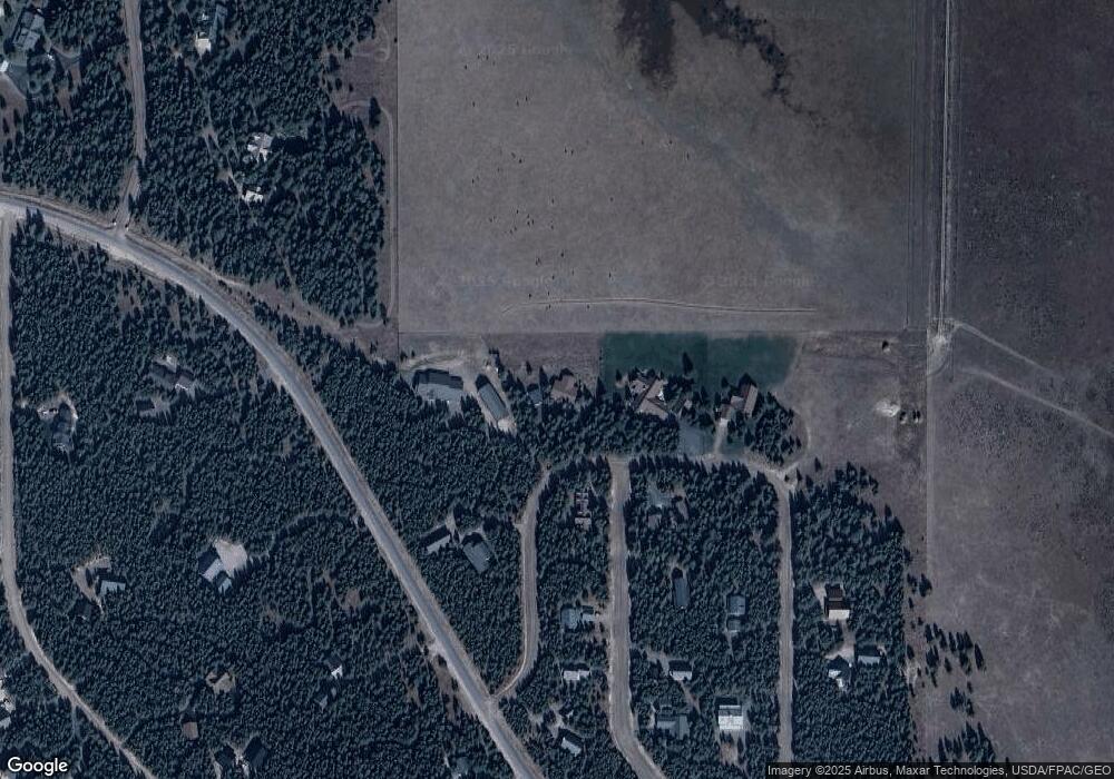
Map
Nearby Homes
- 4070 Southgate
- 4119 Huckleberry Ln
- 4143 Huckleberry Ln
- 4170 N Big Springs Loop Rd
- 4191 Two Top Rd
- 4007 Cougar St
- 4002 Bighorn St
- 4419 Two Top Rd
- 4012 Antelope Rd
- 4406 2 Top Rd
- 4351 Yeti Ln
- 4357 Yeti Ln
- 4347 Yeti Ln
- 4355 Yeti Ln
- 4349 Yeti Ln
- 4353 Yeti Ln
- 4345 Yeti Ln
- 4222 Grand View Rd
- 4374 Yeti Ln
- 4214 Shoshone Rd
- 4527 Jm Loop W
- 4527 Jm Loop W
- 4534 Jim Loop E
- 4525 J M Loop W
- 4534 J M Loop E
- 4525 Weslin Trail
- 4525 W Jm Loop Rd
- 4522 Weslin Trail
- 4515 J M Loop W
- 4530 J M Loop E
- 4528 Jm Loop Rd
- 4520 Weslin Trail
- 4519 Weslin Trail
- 4496 Jim Loop E
- 4517 Jm Loop E
- 4516 E Jm Loop Rd
- 4513 Sawtelle Peak Rd
- 4513 E Jm Loop Rd
- 4510 Weslin Trail
- 4495 Weslin Trail
Your Personal Tour Guide
Ask me questions while you tour the home.