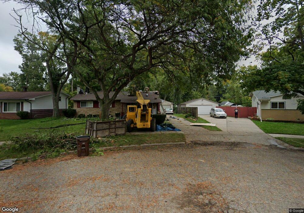
4527 Wainwright Ave Lansing, MI 48911
Churchill Downs NeighborhoodEstimated Value: $144,197 - $168,000
Studio
1
Bath
1,057
Sq Ft
$150/Sq Ft
Est. Value
About This Home
This home is located at 4527 Wainwright Ave, Lansing, MI 48911 and is currently estimated at $158,049, approximately $149 per square foot. 4527 Wainwright Ave is a home located in Ingham County with nearby schools including Reo Elementary School, Attwood School, and J.W. Sexton High School.
Ownership History
Date
Name
Owned For
Owner Type
Purchase Details
Closed on
Jun 28, 2014
Sold by
Anthony James and Anthony Carol
Bought by
Hudso Lenard and Hudso Diana
Current Estimated Value
Home Financials for this Owner
Home Financials are based on the most recent Mortgage that was taken out on this home.
Original Mortgage
$47,000
Interest Rate
4.13%
Mortgage Type
Seller Take Back
Purchase Details
Closed on
Aug 21, 2006
Sold by
Anthony James Alfred
Bought by
Anthony James Alfred
Create a Home Valuation Report for This Property
The Home Valuation Report is an in-depth analysis detailing your home's value as well as a comparison with similar homes in the area
Home Values in the Area
Average Home Value in this Area
Purchase History
| Date | Buyer | Sale Price | Title Company |
|---|---|---|---|
| Hudso Lenard | $52,000 | None Available | |
| Anthony James Alfred | -- | Multiple |
Source: Public Records
Mortgage History
| Date | Status | Borrower | Loan Amount |
|---|---|---|---|
| Closed | Hudso Lenard | $47,000 |
Source: Public Records
Tax History
| Year | Tax Paid | Tax Assessment Tax Assessment Total Assessment is a certain percentage of the fair market value that is determined by local assessors to be the total taxable value of land and additions on the property. | Land | Improvement |
|---|---|---|---|---|
| 2025 | $2,778 | $69,300 | $9,300 | $60,000 |
| 2024 | $22 | $64,400 | $9,300 | $55,100 |
| 2023 | $2,605 | $56,700 | $9,300 | $47,400 |
| 2022 | $2,405 | $49,900 | $9,300 | $40,600 |
| 2021 | $2,300 | $45,800 | $5,900 | $39,900 |
| 2020 | $2,286 | $42,500 | $5,900 | $36,600 |
| 2019 | $3,849 | $40,600 | $5,900 | $34,700 |
| 2018 | $2,060 | $37,800 | $5,900 | $31,900 |
| 2017 | $1,972 | $37,800 | $5,900 | $31,900 |
| 2016 | $4,609 | $35,200 | $5,900 | $29,300 |
| 2015 | $4,609 | $33,700 | $11,807 | $21,893 |
| 2014 | $4,609 | $32,900 | $18,642 | $14,258 |
Source: Public Records
Map
Nearby Homes
- 4416 Ballard Rd
- 3214 Raynell St
- 2706 W Jolly Rd
- 4209 Brighton Dr
- 2807 W Jolly Rd
- 3428 W Jolly Rd
- 3907 Ingham St
- 5129 Wexford Rd
- 2918 Midwood St
- 3924 Wedgewood Dr
- 2416 Midwood St
- 3100 Glenbrook Dr
- 2105 Mary Ave
- 2101 Mary Ave
- 2800 S Waverly Rd
- 3401 S Deerfield Ave
- 4927 Starr Ave
- 4908 Hughes Rd
- 4400 Chadburne Dr
- 1941 Reo Rd
- 4521 Wainwright Ave
- 4533 Wainwright Ave
- 4517 Wainwright Ave
- 3115 Ronald St
- 4520 Wainwright Ave
- 4511 Wainwright Ave
- 3119 Ronald St
- 3126 Ronald St
- 4507 Wainwright Ave
- 4500 Wainwright Ave
- 3125 Ronald St
- 3100 Reo Rd
- 3108 Reo Rd
- 3024 Reo Rd
- 4528 Ballard Rd
- 3200 Ronald St
- 4514 Ballard Rd
- 3125 Jerree St
- 3114 Reo Rd
- 4501 Wainwright Ave
Your Personal Tour Guide
Ask me questions while you tour the home.