Estimated Value: $234,000 - $284,525
Studio
3
Baths
3,292
Sq Ft
$81/Sq Ft
Est. Value
About This Home
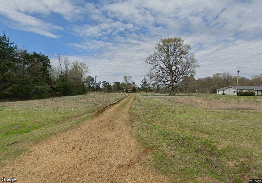
This home is located at 4528 Hempstead 2, Hope, AR 71801 and is currently estimated at $265,175, approximately $80 per square foot. 4528 Hempstead 2 is a home located in Hempstead County with nearby schools including W.J. Clinton Primary School, Creative Action Team School, and Hope Academy.
Ownership History
Date
Name
Owned For
Owner Type
Purchase Details
Closed on
Aug 30, 2024
Sold by
Powell Karl and Powell Laura
Bought by
King Nina
Current Estimated Value
Home Financials for this Owner
Home Financials are based on the most recent Mortgage that was taken out on this home.
Original Mortgage
$117,826
Outstanding Balance
$115,620
Interest Rate
6.77%
Mortgage Type
FHA
Estimated Equity
$149,555
Purchase Details
Closed on
Mar 27, 2024
Sold by
Powell Josh and Powell April
Bought by
Powell Karl and Powell Laura
Purchase Details
Closed on
Sep 9, 2019
Sold by
Powell Karl and Powell Laura
Bought by
Powell Josh and Powell April
Purchase Details
Closed on
Aug 9, 2007
Bought by
Casper David A and Judith Ann
Purchase Details
Closed on
May 1, 2003
Bought by
Collier John W and Collier Betty H
Create a Home Valuation Report for This Property
The Home Valuation Report is an in-depth analysis detailing your home's value as well as a comparison with similar homes in the area
Purchase History
| Date | Buyer | Sale Price | Title Company |
|---|---|---|---|
| King Nina | -- | None Listed On Document | |
| Powell Karl | -- | None Listed On Document | |
| Powell Karl | -- | None Listed On Document | |
| Powell Josh | -- | None Available | |
| Casper David A | $210,000 | -- | |
| Collier John W | $168,000 | -- |
Source: Public Records
Mortgage History
| Date | Status | Borrower | Loan Amount |
|---|---|---|---|
| Open | King Nina | $117,826 |
Source: Public Records
Tax History Compared to Growth
Tax History
| Year | Tax Paid | Tax Assessment Tax Assessment Total Assessment is a certain percentage of the fair market value that is determined by local assessors to be the total taxable value of land and additions on the property. | Land | Improvement |
|---|---|---|---|---|
| 2025 | $1,437 | $32,890 | $2,980 | $29,910 |
| 2024 | $851 | $32,890 | $2,980 | $29,910 |
| 2023 | $819 | $32,890 | $2,980 | $29,910 |
| 2022 | $823 | $32,890 | $2,980 | $29,910 |
| 2021 | $774 | $32,890 | $2,980 | $29,910 |
| 2020 | $685 | $25,250 | $2,840 | $22,410 |
| 2019 | $669 | $25,250 | $2,840 | $22,410 |
| 2018 | $672 | $25,250 | $2,840 | $22,410 |
| 2017 | $657 | $25,250 | $2,840 | $22,410 |
| 2016 | $659 | $24,870 | $2,840 | $22,030 |
| 2015 | $999 | $24,730 | $2,700 | $22,030 |
| 2014 | $1,001 | $25,100 | $3,070 | $22,030 |
Source: Public Records
Map
Nearby Homes
- 4407 & 4409 Hempstead 2
- 0 Hempstead 2
- 3779 U S 278
- 821 & 823 Robinson Rd
- 0 Hempstead 49
- 2015 West Ave E
- 2015 W Ave E
- 856 Highway 174 S
- 320 Belew St
- 0 W
- 0 West Ave E
- TBD Hempstead 1525 Rd
- 703 Springhill Dr
- 1015 W 5th St
- 1013 W 5th St
- 910 W 5th St
- 510 S Fulton St
- 1000 N Hervey (@Senter) St
- 215 S Washington St
- 602 W 5th St
- 4525 Hempstead 2
- 4507 Hempstead 2
- 4510 Hempstead 2
- 878 Hempstead 10
- 916 Hempstead 10
- 4457 Hempstead 2
- 4460 Hempstead 2
- 4449 Hempstead 2
- 886 Hempstead 10
- 4444 Hempstead 2
- 4416 Hempstead 2
- 856 Hempstead 10
- 4419 Hempstead 2
- 4407 Hempstead 2
- 4364 Hempstead 2
- 171 Hempstead 1009
- 4338 Hempstead 2
- 165 Hempstead 1009
- 2 Hempstead
- 0 Hempstead 10 Unit 20018922
