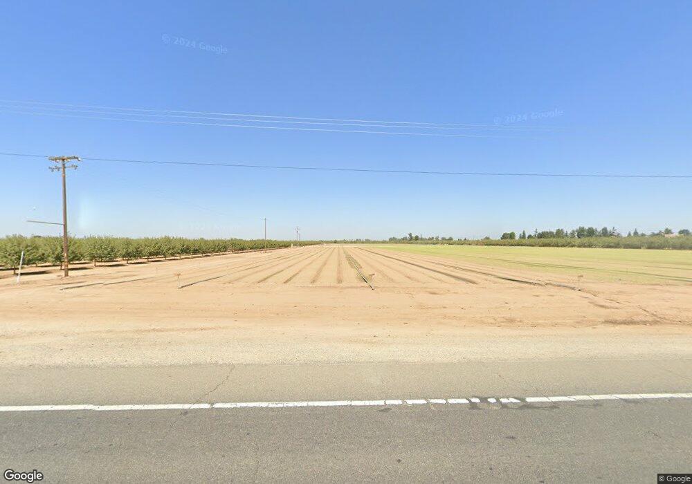
4528 W Whitesbridge Ave Fresno, CA 93706
--
Bed
--
Bath
859,003
Sq Ft
19.72
Acres
About This Home
This home is located at 4528 W Whitesbridge Ave, Fresno, CA 93706. 4528 W Whitesbridge Ave is a home located in Fresno County with nearby schools including Madison Elementary School, El Capitan Middle School, and Central East High School.
Ownership History
Date
Name
Owned For
Owner Type
Purchase Details
Closed on
Feb 18, 2025
Sold by
Leonard And Patt Potigian Trust and Krikorian Ben
Bought by
Potigian Thomas M
Purchase Details
Closed on
Dec 11, 2018
Sold by
Potigian Thomas and Potigian Mary
Bought by
Potigian Patt
Purchase Details
Closed on
Sep 9, 2014
Sold by
Potigian Patt
Bought by
Potigian Thomas
Purchase Details
Closed on
Sep 3, 2010
Sold by
Potigian Patt
Bought by
Potigian Patt
Purchase Details
Closed on
Nov 24, 2008
Sold by
Potigian Leonard and Potigian Patt
Bought by
Potigian Leonard J and Potigian Patt
Purchase Details
Closed on
Jan 16, 1998
Sold by
Annie Torosian
Bought by
Potigian Leonard and Potigian Patt
Create a Home Valuation Report for This Property
The Home Valuation Report is an in-depth analysis detailing your home's value as well as a comparison with similar homes in the area
Home Values in the Area
Average Home Value in this Area
Purchase History
| Date | Buyer | Sale Price | Title Company |
|---|---|---|---|
| Potigian Thomas M | -- | None Listed On Document | |
| Potigian Patt | -- | None Available | |
| Potigian Thomas | -- | None Available | |
| Potigian Patt | -- | None Available | |
| Potigian Leonard J | -- | None Available | |
| Potigian Leonard | -- | -- |
Source: Public Records
Tax History Compared to Growth
Tax History
| Year | Tax Paid | Tax Assessment Tax Assessment Total Assessment is a certain percentage of the fair market value that is determined by local assessors to be the total taxable value of land and additions on the property. | Land | Improvement |
|---|---|---|---|---|
| 2025 | $4,451 | $202,071 | $194,222 | $7,849 |
| 2023 | $4,451 | $477,023 | $471,821 | $5,202 |
| 2022 | $3,360 | $190,419 | $183,021 | $7,398 |
| 2021 | $3,348 | $186,686 | $179,433 | $7,253 |
| 2020 | $3,203 | $184,773 | $177,594 | $7,179 |
| 2019 | $3,140 | $181,151 | $174,112 | $7,039 |
| 2018 | $3,062 | $177,600 | $170,699 | $6,901 |
| 2017 | $3,044 | $174,118 | $167,352 | $6,766 |
| 2016 | $2,756 | $170,705 | $164,071 | $6,634 |
| 2015 | $2,748 | $168,142 | $161,607 | $6,535 |
| 2014 | $2,753 | $164,849 | $158,442 | $6,407 |
Source: Public Records
Map
Nearby Homes
- 5025 W Kearney Blvd
- 4611 W Kearney Blvd
- 3661 W Franklin Ave
- 1345 N Brawley Ave
- 3177 W Whites Bridge Ave
- 1440 N Brawley Ave
- 5323 W Huffman Ave
- 1512 N Brawley Ave
- 1656 N Cecelia Ave
- 1613 N Ellendale Ave
- 1 N Marks Ave Unit 123
- 3045 W Tuolumne St
- 3304 W Elizabeth Ave
- 1714 N Blythe Ave
- 1887 N Belvedere Ave
- 4114 W Church Ave
- 1741 N Blythe Ave
- 5565 W Lamona Ave
- 0 Whitesbridge Ave Unit N. of W. Church Ave.
- 1740 S Cornelia Ave
- 4528 W Whites Bridge Ave
- 4600 W Whitesbridge Ave
- 0 N A Unit R808052
- 0 N A Unit CV15181960
- 0 N A Unit CRTR24196545
- 0 N A Unit 219101491DA
- 0 N A Unit IG23109984
- 0 N A Unit 219069135DA
- 0 N A Unit 217011284DA
- 0 N A Unit 217011290DA
- 0 N A Unit 217011278DA
- 0 N A Unit 217011280DA
- 0 N A Unit 217011292DA
- 350 N Blythe Ave
- 372 N Cornelia Ave
- 0 S Cornelia Ave
- 0 N Cornelia Ave
- 510 N Cornelia Ave
- 4150 W Whites Bridge Ave
- 365 N Cornelia Ave