45290 Liberty Ln Henning, MN 56551
Estimated Value: $260,000 - $394,000
--
Bed
--
Bath
768
Sq Ft
$443/Sq Ft
Est. Value
About This Home
This home is located at 45290 Liberty Ln, Henning, MN 56551 and is currently estimated at $339,956, approximately $442 per square foot. 45290 Liberty Ln is a home with nearby schools including Henning Elementary School.
Ownership History
Date
Name
Owned For
Owner Type
Purchase Details
Closed on
Mar 16, 2020
Sold by
Korpi John John
Bought by
Peddycoart Kluver Carrie Carrie
Current Estimated Value
Home Financials for this Owner
Home Financials are based on the most recent Mortgage that was taken out on this home.
Original Mortgage
$208,000
Outstanding Balance
$183,721
Interest Rate
3.36%
Estimated Equity
$156,235
Create a Home Valuation Report for This Property
The Home Valuation Report is an in-depth analysis detailing your home's value as well as a comparison with similar homes in the area
Home Values in the Area
Average Home Value in this Area
Purchase History
| Date | Buyer | Sale Price | Title Company |
|---|---|---|---|
| Peddycoart Kluver Carrie Carrie | $208,000 | -- |
Source: Public Records
Mortgage History
| Date | Status | Borrower | Loan Amount |
|---|---|---|---|
| Open | Peddycoart Kluver Carrie Carrie | $208,000 |
Source: Public Records
Tax History Compared to Growth
Tax History
| Year | Tax Paid | Tax Assessment Tax Assessment Total Assessment is a certain percentage of the fair market value that is determined by local assessors to be the total taxable value of land and additions on the property. | Land | Improvement |
|---|---|---|---|---|
| 2025 | $1,728 | $281,700 | $191,900 | $89,800 |
| 2024 | $1,372 | $248,200 | $160,800 | $87,400 |
| 2023 | $3,002 | $222,200 | $144,000 | $78,200 |
| 2022 | $1,354 | $300,200 | $0 | $0 |
| 2021 | $1,224 | $222,200 | $144,000 | $78,200 |
| 2020 | $1,260 | $157,600 | $98,700 | $58,900 |
| 2019 | $1,268 | $154,000 | $98,700 | $55,300 |
| 2018 | $1,216 | $154,000 | $98,700 | $55,300 |
| 2017 | $1,228 | $149,500 | $99,400 | $50,100 |
| 2016 | $1,294 | $157,900 | $108,400 | $49,500 |
| 2015 | $1,328 | $0 | $0 | $0 |
| 2014 | -- | $154,000 | $105,500 | $48,500 |
Source: Public Records
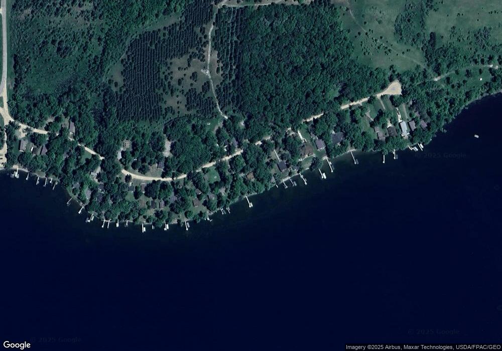
Map
Nearby Homes
- 22054 Nirvana Trail
- 23759 Clarissa Haven Dr
- 220th 220th St
- 42502 240th St Unit 41
- 42322 240th St
- 26350 County Highway 61
- 22694 Coney Island Dr
- 42221 Ukkelberg Dr
- 24288 Beauty Shore Dr
- Xxxxx Old 67 Rd
- 110 Poulson Ave
- 26909 Lake Ethel Rd
- 19729 Nidaros Church Dr
- 215 Marshall Ave
- 703 2nd St
- 701 Douglas Ave
- 40112 244th St
- 42502 240th St
- 715 Holden Ave
- 21783 Statesboro Dr
- 45270 Liberty Ln
- 45312 Liberty Ln
- 45254 Liberty Ln
- 45340 Liberty Ln
- 45257 Liberty Ln
- 45271 Liberty Ln
- 45352 Liberty Ln
- 45234 Liberty Ln
- 45226 Liberty Ln
- 45374 Liberty Ln
- 45216 Liberty Ln
- 45386 Liberty Ln
- 45206 Liberty Ln
- 45198 Liberty Ln
- 45394 Liberty Ln
- 45192 Liberty Ln
- 45184 Liberty Ln
- 45176 Liberty Ln
- 45166 Liberty Ln
- 45154 Liberty Ln