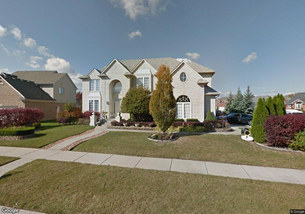
45291 Yorkshire Dr Macomb, MI 48044
Estimated Value: $497,000 - $586,000
--
Bed
1
Bath
3,112
Sq Ft
$174/Sq Ft
Est. Value
About This Home
This home is located at 45291 Yorkshire Dr, Macomb, MI 48044 and is currently estimated at $541,948, approximately $174 per square foot. 45291 Yorkshire Dr is a home located in Macomb County with nearby schools including Cherokee Elementary School, Wyandot Middle School, and Chippewa Valley High School.
Ownership History
Date
Name
Owned For
Owner Type
Purchase Details
Closed on
Dec 3, 2001
Sold by
Chirco Builders North In
Bought by
Lewis Frank
Current Estimated Value
Home Financials for this Owner
Home Financials are based on the most recent Mortgage that was taken out on this home.
Original Mortgage
$275,000
Interest Rate
7.24%
Mortgage Type
Purchase Money Mortgage
Purchase Details
Closed on
Feb 16, 2000
Sold by
Gtr Builders Inc
Bought by
Chirco Builders North Inc
Create a Home Valuation Report for This Property
The Home Valuation Report is an in-depth analysis detailing your home's value as well as a comparison with similar homes in the area
Home Values in the Area
Average Home Value in this Area
Purchase History
| Date | Buyer | Sale Price | Title Company |
|---|---|---|---|
| Lewis Frank | $295,000 | -- | |
| Chirco Builders North Inc | $71,409 | -- |
Source: Public Records
Mortgage History
| Date | Status | Borrower | Loan Amount |
|---|---|---|---|
| Previous Owner | Lewis Frank | $275,000 |
Source: Public Records
Tax History Compared to Growth
Tax History
| Year | Tax Paid | Tax Assessment Tax Assessment Total Assessment is a certain percentage of the fair market value that is determined by local assessors to be the total taxable value of land and additions on the property. | Land | Improvement |
|---|---|---|---|---|
| 2025 | $5,558 | $257,800 | $0 | $0 |
| 2024 | $4,280 | $247,000 | $0 | $0 |
| 2023 | $4,059 | $222,200 | $0 | $0 |
| 2022 | $5,042 | $197,600 | $0 | $0 |
| 2021 | $4,906 | $184,200 | $0 | $0 |
| 2020 | $3,724 | $180,300 | $0 | $0 |
| 2019 | $4,538 | $172,000 | $0 | $0 |
| 2018 | $4,422 | $162,800 | $0 | $0 |
| 2017 | $4,352 | $156,120 | $34,500 | $121,620 |
| 2016 | $4,128 | $156,120 | $0 | $0 |
| 2015 | $4,073 | $147,000 | $0 | $0 |
| 2014 | $4,073 | $132,680 | $23,500 | $109,180 |
| 2011 | $753 | $128,420 | $20,500 | $107,920 |
Source: Public Records
Map
Nearby Homes
- 45259 Yorkshire Dr
- 19897 Mapleton Dr
- 45339 Diamond Pond Dr Unit 159
- 19291 Hamlin Lake Rd Lot #161 Rd
- 20285 Columbia Dr Unit 141
- 45070 Twin River Dr
- 20410 Hillsboro Dr
- 20472 Columbia Dr Unit 173
- 45155 Twin Rivers Rd
- 20343 Nicol Creek Dr Unit 18
- 19246 Hamlin Lake Dr
- 19274 Hamlin Lake Dr
- 19319 Hamlin Lake Dr
- 19302 Hamlin Lake Lot #157 Rd
- 19251 Springbrook Dr
- 19335 Springbrook Dr Unit 177
- 19307 Springbrook Dr Unit 176
- 45539 Shoal Dr
- 19326 Potomac Rd Lot #178 Rd
- 19298 Potomac Dr Lot #179 Rd
- 19910 Westchester Ct
- 45353 Yorkshire Dr
- 45227 Yorkshire Dr
- 45266 Yorkshire Dr
- 45300 Yorkshire Dr
- 45238 Yorkshire Dr
- 19901 Devonshire Ln
- 19949 Westchester Ct Unit Bldg-Unit
- 19949 Westchester Ct
- 45332 Yorkshire Dr
- 19872 Westchester Ct
- 19905 Westchester Ct
- 45385 Yorkshire Dr Unit Bldg-Unit
- 45385 Yorkshire Dr
- 19818 Westchester Ct
- 45364 Yorkshire Dr
- 19867 Westchester Ct
- 19865 Devonshire Ln
- 19833 Westchester Ct
- 45265 Riverwoods Dr