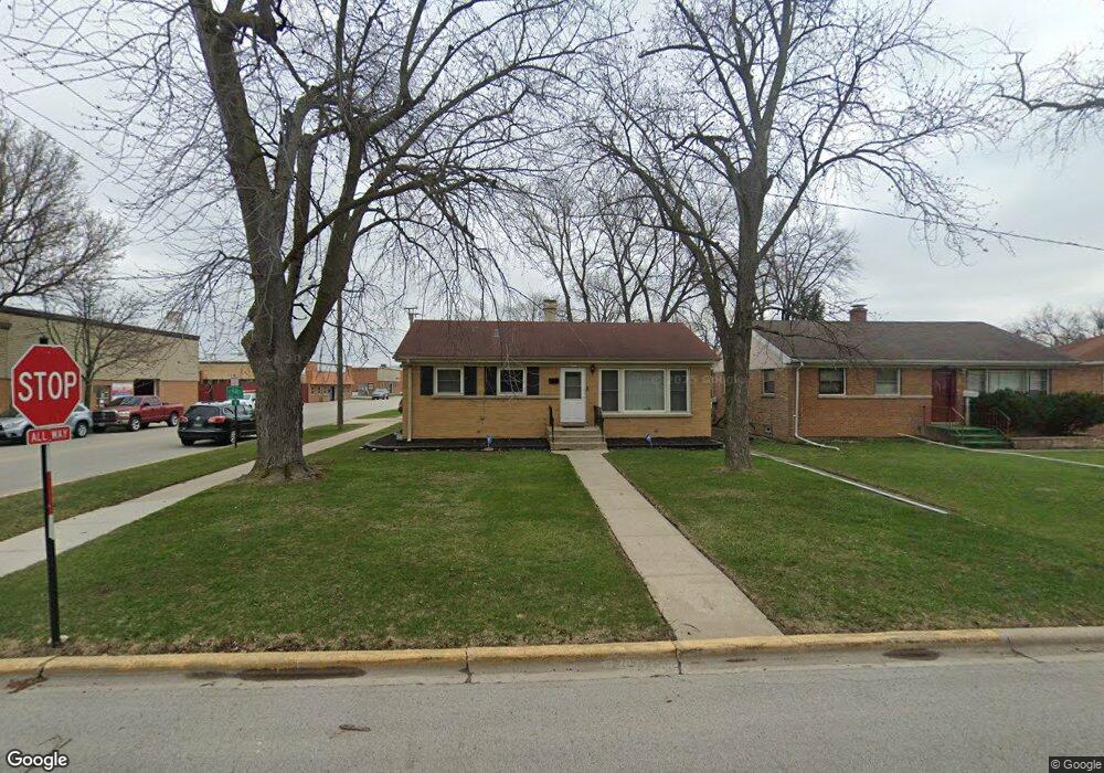
453 Broadview Ave Hillside, IL 60162
Estimated Value: $310,104 - $361,000
3
Beds
1
Bath
1,428
Sq Ft
$235/Sq Ft
Est. Value
About This Home
This home is located at 453 Broadview Ave, Hillside, IL 60162 and is currently estimated at $335,026, approximately $234 per square foot. 453 Broadview Ave is a home located in Cook County with nearby schools including Lincoln Elementary School, Roosevelt Middle School, and Proviso West High School.
Ownership History
Date
Name
Owned For
Owner Type
Purchase Details
Closed on
Aug 18, 2004
Sold by
Jarka Robert B and Jarka Kathleen M
Bought by
Mcfield Brandon
Current Estimated Value
Home Financials for this Owner
Home Financials are based on the most recent Mortgage that was taken out on this home.
Original Mortgage
$159,920
Outstanding Balance
$79,536
Interest Rate
6.37%
Mortgage Type
Unknown
Estimated Equity
$255,490
Purchase Details
Closed on
Jun 16, 2003
Sold by
Davis Ralph V and Jarka Kathleen M
Bought by
Jarka Robert B and Jarka Kathleen M
Create a Home Valuation Report for This Property
The Home Valuation Report is an in-depth analysis detailing your home's value as well as a comparison with similar homes in the area
Home Values in the Area
Average Home Value in this Area
Purchase History
| Date | Buyer | Sale Price | Title Company |
|---|---|---|---|
| Mcfield Brandon | $200,000 | Atgf Inc | |
| Jarka Robert B | -- | -- |
Source: Public Records
Mortgage History
| Date | Status | Borrower | Loan Amount |
|---|---|---|---|
| Open | Mcfield Brandon | $159,920 | |
| Closed | Mcfield Brandon | $39,980 |
Source: Public Records
Tax History
| Year | Tax Paid | Tax Assessment Tax Assessment Total Assessment is a certain percentage of the fair market value that is determined by local assessors to be the total taxable value of land and additions on the property. | Land | Improvement |
|---|---|---|---|---|
| 2025 | $8,948 | $25,000 | $3,438 | $21,562 |
| 2024 | $8,948 | $25,000 | $3,438 | $21,562 |
| 2023 | $7,861 | $25,000 | $3,438 | $21,562 |
| 2022 | $7,861 | $20,206 | $2,969 | $17,237 |
| 2021 | $7,743 | $20,205 | $2,969 | $17,236 |
| 2020 | $7,573 | $20,205 | $2,969 | $17,236 |
| 2019 | $6,348 | $16,736 | $2,656 | $14,080 |
| 2018 | $6,142 | $16,736 | $2,656 | $14,080 |
| 2017 | $6,510 | $18,235 | $2,656 | $15,579 |
| 2016 | $5,898 | $15,705 | $2,344 | $13,361 |
| 2015 | $5,607 | $15,705 | $2,344 | $13,361 |
| 2014 | $5,532 | $15,705 | $2,344 | $13,361 |
| 2013 | $5,477 | $16,952 | $2,344 | $14,608 |
Source: Public Records
Map
Nearby Homes
- 4353 Butterfield Rd
- 326 N Forest Ave
- 540 47th Ave
- 512 50th Ave
- 429 Geneva Ave
- 311 Buckthorn Ln
- 443 Granville Ave
- 608 Morris Ave
- 307 Geneva Ave
- 3912 Adams St
- 241 48th Ave
- 3724 Saint Paul Ave
- 768 N Rohde Ave
- 348 Frederick Ave
- 439 Morris Ave
- 605 N Wolf Rd Unit B9
- 606 Bellwood Ave
- 932 Bellwood Ave
- 500 N Laverne Ave
- 3607 Monroe St
- 449 Broadview Ave
- 445 Broadview Ave
- 454 Melrose Ave
- 450 Melrose Ave
- 441 Broadview Ave
- 4322 Warren Ave
- 446 Melrose Ave
- 437 Broadview Ave
- 442 Melrose Ave
- 454 Broadview Ave
- 450 Broadview Ave
- 4338 Warren Ave
- 4338 Warren Ave
- 4338 Warren Ave Unit GN
- 4338 Warren Ave Unit 2N
- 446 Broadview Ave
- 438 Melrose Ave
- 4342 Warren Ave Unit GR
- 4342 Warren Ave
- 4342 Warren Ave Unit GN
Your Personal Tour Guide
Ask me questions while you tour the home.