453 Currahee Point Toccoa, GA 30577
Estimated Value: $923,061 - $1,082,000
3
Beds
3
Baths
3,557
Sq Ft
$289/Sq Ft
Est. Value
About This Home
This home is located at 453 Currahee Point, Toccoa, GA 30577 and is currently estimated at $1,026,265, approximately $288 per square foot. 453 Currahee Point is a home located in Stephens County with nearby schools including Stephens County High School.
Ownership History
Date
Name
Owned For
Owner Type
Purchase Details
Closed on
Mar 9, 2012
Sold by
Kopchick Margaret
Bought by
Burken Russell R
Current Estimated Value
Home Financials for this Owner
Home Financials are based on the most recent Mortgage that was taken out on this home.
Original Mortgage
$286,700
Outstanding Balance
$195,705
Interest Rate
3.89%
Mortgage Type
New Conventional
Estimated Equity
$830,560
Purchase Details
Closed on
Oct 5, 2010
Sold by
Burken Russell R
Bought by
Kopchick Margaret
Purchase Details
Closed on
Nov 12, 1999
Bought by
Kopchick Margaret Kopchick Margaret
Purchase Details
Closed on
Jul 1, 1987
Bought by
<Buyer Info Not Present>
Create a Home Valuation Report for This Property
The Home Valuation Report is an in-depth analysis detailing your home's value as well as a comparison with similar homes in the area
Purchase History
| Date | Buyer | Sale Price | Title Company |
|---|---|---|---|
| Burken Russell R | -- | -- | |
| Kopchick Margaret | -- | -- | |
| Kopchick Margaret Kopchick Margaret | -- | -- | |
| Burken Russell Russell Burken Livin | -- | -- | |
| <Buyer Info Not Present> | $30,000 | -- |
Source: Public Records
Mortgage History
| Date | Status | Borrower | Loan Amount |
|---|---|---|---|
| Open | Kopchick Margaret | $286,700 |
Source: Public Records
Tax History
| Year | Tax Paid | Tax Assessment Tax Assessment Total Assessment is a certain percentage of the fair market value that is determined by local assessors to be the total taxable value of land and additions on the property. | Land | Improvement |
|---|---|---|---|---|
| 2025 | $6,122 | $293,054 | $90,405 | $202,649 |
| 2024 | $5,759 | $224,194 | $90,405 | $133,789 |
| 2023 | $5,368 | $215,219 | $90,405 | $124,814 |
| 2022 | $5,173 | $208,662 | $90,405 | $118,257 |
| 2021 | $5,183 | $200,629 | $90,750 | $109,879 |
| 2020 | $5,227 | $200,402 | $90,750 | $109,652 |
| 2019 | $5,249 | $200,402 | $90,750 | $109,652 |
| 2018 | $6,190 | $197,202 | $90,750 | $106,452 |
| 2017 | $6,297 | $197,505 | $90,750 | $106,755 |
| 2016 | $6,199 | $197,505 | $90,750 | $106,755 |
| 2015 | $6,500 | $197,711 | $90,750 | $106,961 |
| 2014 | $6,618 | $198,030 | $90,750 | $107,280 |
| 2013 | -- | $198,029 | $90,749 | $107,280 |
Source: Public Records
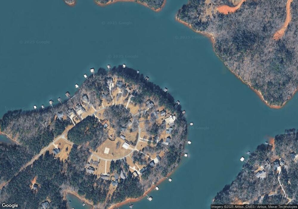
Map
Nearby Homes
- 49 Currahee Point
- 604 Mckinney Way
- 287 Spring Branch Cir
- 455 Chase Landing Rd
- Lot 34 Stillwater Place
- 223 Brookside Dr
- Lot 9 Block A Brookside Dr
- 1 Brookside Dr
- 333 Oliver Rd
- 9B Lost Forest Dr
- 0 Lost Forest Dr
- LOT 7 Springview Dr
- 0 Springview Dr Unit 21515079
- 0 Springview Dr Unit 18549576
- 104 Overlook Dr
- 112 Laura Dr
- 1687 Jenkins Ferry Rd
- 88 Currahee Place
- 00 N Shores Dr
- 120 Ridgemore Cir
- 431 Currahee Point
- 419 Currahee Point
- 142 Currahee Point
- 472 Currahee Point
- 483 Currahee Point
- 411 Currahee Point
- 487 Currahee Point
- 499 Currahee Point
- 0 Currahee Pt Cir E Unit LOT 9 7146027
- 540 Currahee Point
- 364 Currahee Point
- 505 Currahee Point
- 371 Currahee Point
- 572 Currahee Point
- 525 Currahee Point
- 604 Currahee Point
- 369 Currahee Point
- 543 Currahee Point
- 337 Currahee Point
- 553 Currahee Point
Your Personal Tour Guide
Ask me questions while you tour the home.