Studio
--
Bath
1,140
Sq Ft
95,396
Sq Ft Lot
About This Home
This home is located at 453 Deale Rd, Deale, MD 20751. 453 Deale Rd is a home located in Anne Arundel County with nearby schools including Deale Elementary School, Southern Middle School, and Southern High School.
Ownership History
Date
Name
Owned For
Owner Type
Purchase Details
Closed on
Aug 9, 2018
Sold by
Marine Enterprises Llc
Bought by
Rockhold Llc
Home Financials for this Owner
Home Financials are based on the most recent Mortgage that was taken out on this home.
Original Mortgage
$1,250,000
Outstanding Balance
$1,085,574
Interest Rate
4.5%
Mortgage Type
Purchase Money Mortgage
Purchase Details
Closed on
Mar 1, 1993
Sold by
Martini Michael J
Bought by
Montgomery Robert L
Home Financials for this Owner
Home Financials are based on the most recent Mortgage that was taken out on this home.
Original Mortgage
$490,000
Interest Rate
7.53%
Purchase Details
Closed on
Nov 17, 1988
Sold by
Dahnk Anthony E
Bought by
Martini Michael J
Home Financials for this Owner
Home Financials are based on the most recent Mortgage that was taken out on this home.
Original Mortgage
$1,050,000
Interest Rate
10.24%
Create a Home Valuation Report for This Property
The Home Valuation Report is an in-depth analysis detailing your home's value as well as a comparison with similar homes in the area
Home Values in the Area
Average Home Value in this Area
Purchase History
| Date | Buyer | Sale Price | Title Company |
|---|---|---|---|
| Rockhold Llc | $1,350,000 | None Available | |
| Montgomery Robert L | $590,000 | -- | |
| Martini Michael J | $1,100,000 | -- |
Source: Public Records
Mortgage History
| Date | Status | Borrower | Loan Amount |
|---|---|---|---|
| Open | Rockhold Llc | $1,250,000 | |
| Previous Owner | Montgomery Robert L | $490,000 | |
| Previous Owner | Martini Michael J | $1,050,000 |
Source: Public Records
Tax History
| Year | Tax Paid | Tax Assessment Tax Assessment Total Assessment is a certain percentage of the fair market value that is determined by local assessors to be the total taxable value of land and additions on the property. | Land | Improvement |
|---|---|---|---|---|
| 2025 | $14,850 | $1,107,700 | $928,100 | $179,600 |
| 2024 | $14,850 | $1,287,667 | $0 | $0 |
Source: Public Records
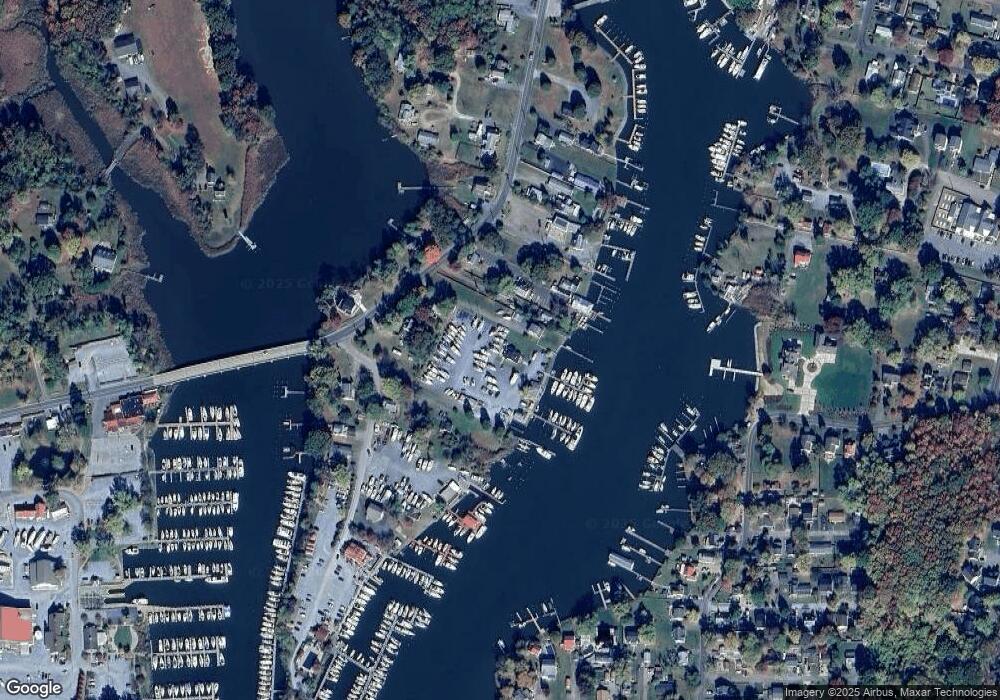
Map
Nearby Homes
- 6061 Drum Point Rd
- 703 Trapper Way
- 617 Ford Rd
- 6069 Welch Ave
- 610 E Marshall Ave
- 6040 Melbourne Ave
- 6065 Melbourne Ave
- 5931 Tyler Rd
- 520 Ark Haven Rd
- 6025 Franklin Gibson Rd
- 5918 Sneed Dr
- 5930 Sneed Dr
- 350 E Bay Front Rd
- 5741 Deale Churchton Rd
- 6281 Franklin Gibson Rd
- 939 Main St
- 106 Valley View Farm Ln
- 6370 Genoa Rd
- 6300 Town Point Rd
- 962 Main St
- 455 Deale Rd
- 469 Deale Rd
- 471 Deale Rd
- 6001 Herring Bay Rd
- 483 Deale Rd
- 477 Deale Rd
- 6005 Herring Bay Rd
- 465 Deale Rd
- 6029 Herring Bay Rd
- 461 Deale Rd
- 457 Deale Rd
- 6003 Herring Bay Rd
- 6003 Herring Bay Rd
- 485 Deale Rd
- 6033 Herring Bay Rd
- 470 Deale Rd
- 6064 Drum Point Rd
- 421 Deale Rd
- 6062 Drum Point Rd
- 6004 Herring Bay Rd
Your Personal Tour Guide
Ask me questions while you tour the home.