453 Fields Hill Rd Conway, MA 01341
Estimated Value: $867,000 - $1,550,000
4
Beds
4
Baths
4,283
Sq Ft
$296/Sq Ft
Est. Value
About This Home
This home is located at 453 Fields Hill Rd, Conway, MA 01341 and is currently estimated at $1,265,967, approximately $295 per square foot. 453 Fields Hill Rd is a home located in Franklin County with nearby schools including Frontier Regional School.
Ownership History
Date
Name
Owned For
Owner Type
Purchase Details
Closed on
Mar 20, 2015
Sold by
Gobillot Daniel W
Bought by
Carlan Sarah W and Carlan Paul D
Current Estimated Value
Purchase Details
Closed on
Jun 25, 2009
Sold by
Ohara-Gobillot Christine
Bought by
Gobillot Daniel W
Purchase Details
Closed on
Jul 20, 2005
Sold by
Gobillot Christine Ohara
Bought by
Carlan Paul D and Carlan Sarah W
Home Financials for this Owner
Home Financials are based on the most recent Mortgage that was taken out on this home.
Original Mortgage
$350,000
Interest Rate
5.59%
Mortgage Type
Purchase Money Mortgage
Create a Home Valuation Report for This Property
The Home Valuation Report is an in-depth analysis detailing your home's value as well as a comparison with similar homes in the area
Home Values in the Area
Average Home Value in this Area
Purchase History
| Date | Buyer | Sale Price | Title Company |
|---|---|---|---|
| Carlan Sarah W | $140,000 | -- | |
| Gobillot Daniel W | -- | -- | |
| Carlan Paul D | $850,000 | -- |
Source: Public Records
Mortgage History
| Date | Status | Borrower | Loan Amount |
|---|---|---|---|
| Previous Owner | Carlan Paul D | $350,000 |
Source: Public Records
Tax History Compared to Growth
Tax History
| Year | Tax Paid | Tax Assessment Tax Assessment Total Assessment is a certain percentage of the fair market value that is determined by local assessors to be the total taxable value of land and additions on the property. | Land | Improvement |
|---|---|---|---|---|
| 2025 | $20,381 | $1,411,400 | $92,700 | $1,318,700 |
| 2024 | $18,762 | $1,144,000 | $85,300 | $1,058,700 |
| 2023 | $19,620 | $1,144,000 | $85,300 | $1,058,700 |
| 2022 | $19,147 | $1,066,700 | $80,300 | $986,400 |
| 2021 | $18,788 | $1,003,100 | $75,900 | $927,200 |
| 2020 | $18,985 | $1,012,000 | $75,700 | $936,300 |
| 2019 | $18,876 | $1,012,100 | $75,800 | $936,300 |
| 2018 | $15,549 | $840,500 | $75,400 | $765,100 |
| 2017 | $14,910 | $840,000 | $74,900 | $765,100 |
| 2016 | $14,351 | $860,400 | $65,700 | $794,700 |
| 2015 | $13,688 | $846,500 | $65,600 | $780,900 |
Source: Public Records
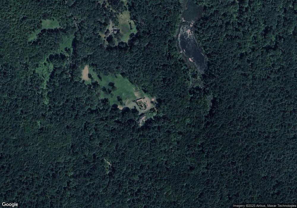
Map
Nearby Homes
- 0 Pleasant St
- 14 River St
- 71 Mathews Rd
- 473 N Poland Rd
- 820 E Guinea Rd
- 30 Lee Rd
- 230 S Ashfield Rd
- 1531 Williamsburg Rd
- 0 North St Unit 73407299
- lot 1 Shelburne Falls Rd
- 32 Swamp Rd
- 24 Elm St
- 85 Dacey Rd
- 208 Greenfield Rd
- 24 Graves St
- 13 Capt Lathrop Dr
- 33 Eastern Ave
- 345 Greenfield Rd
- 15 Crestview Dr
- Lot C Mountain Rd
- 381 Fields Hill Rd
- 331 Fields Hill Rd
- LOTS Fields Hill Rd
- 645 Fields Hill Rd
- 221 Fields Hill Rd
- 0 Cricket Hill Rd Unit 72221359
- 11 S Hill Rd
- 31 S Hill Rd
- 65 S Hill Rd
- 178 Fields Hill Rd
- 8&9 Fields Hill Rd
- Lot 8 & 9 Fields Hill Rd
- 1192 Whately Rd
- 687 Whately Rd
- 1220 Whately Rd
- 66 N Hill Dr
- 78 S Hill Rd
- 132 Fields Hill Rd
- 42 N Hill Dr
- 89 High Meadow Dr