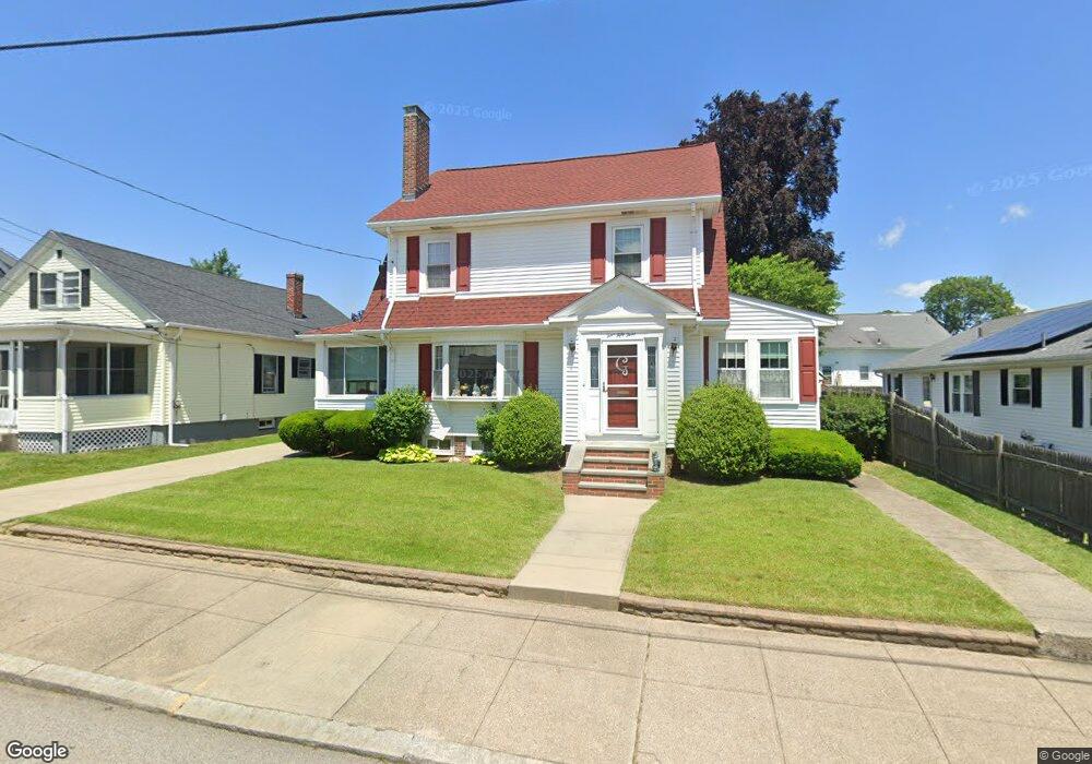
453 Grotto Ave Pawtucket, RI 02860
Fairlawn NeighborhoodEstimated Value: $423,063 - $487,000
3
Beds
2
Baths
1,724
Sq Ft
$262/Sq Ft
Est. Value
About This Home
This home is located at 453 Grotto Ave, Pawtucket, RI 02860 and is currently estimated at $452,516, approximately $262 per square foot. 453 Grotto Ave is a home located in Providence County with nearby schools including Blackstone Valley Prep Upper Elementary School, The San Miguel School, and Bishop Keough Regional High School.
Ownership History
Date
Name
Owned For
Owner Type
Purchase Details
Closed on
Nov 23, 2021
Sold by
Gallo John P and Gallo Patricia A
Bought by
Gallo Ft
Current Estimated Value
Purchase Details
Closed on
Dec 10, 1990
Sold by
Clary Roy S
Bought by
Gallo John P
Home Financials for this Owner
Home Financials are based on the most recent Mortgage that was taken out on this home.
Original Mortgage
$132,601
Interest Rate
10.1%
Create a Home Valuation Report for This Property
The Home Valuation Report is an in-depth analysis detailing your home's value as well as a comparison with similar homes in the area
Home Values in the Area
Average Home Value in this Area
Purchase History
| Date | Buyer | Sale Price | Title Company |
|---|---|---|---|
| Gallo Ft | -- | None Available | |
| Gallo John P | $124,500 | -- |
Source: Public Records
Mortgage History
| Date | Status | Borrower | Loan Amount |
|---|---|---|---|
| Previous Owner | Gallo John P | $132,601 |
Source: Public Records
Tax History Compared to Growth
Tax History
| Year | Tax Paid | Tax Assessment Tax Assessment Total Assessment is a certain percentage of the fair market value that is determined by local assessors to be the total taxable value of land and additions on the property. | Land | Improvement |
|---|---|---|---|---|
| 2025 | $4,466 | $339,600 | $152,900 | $186,700 |
| 2024 | $4,191 | $339,600 | $152,900 | $186,700 |
| 2023 | $4,284 | $252,900 | $73,400 | $179,500 |
| 2022 | $4,193 | $252,900 | $73,400 | $179,500 |
| 2021 | $4,193 | $252,900 | $73,400 | $179,500 |
| 2020 | $4,153 | $198,800 | $58,300 | $140,500 |
| 2019 | $4,153 | $198,800 | $58,300 | $140,500 |
| 2018 | $4,002 | $198,800 | $58,300 | $140,500 |
| 2017 | $4,110 | $180,900 | $54,100 | $126,800 |
| 2016 | $3,960 | $180,900 | $54,100 | $126,800 |
| 2015 | $3,960 | $180,900 | $54,100 | $126,800 |
| 2014 | $4,197 | $182,000 | $60,100 | $121,900 |
Source: Public Records
Map
Nearby Homes
- 82 Hillcrest Ave
- 21 Urban Ave
- 192 Terrace Ave
- 168 W Forest Ave
- 10 Windmill St
- 56 Legion Dr
- 27 Stedman Ave
- 12 Legion Dr
- 422 Smithfield Ave Unit 1
- 132 Hobson Ave
- 0 Piave St
- 20 Dickinson Ave
- 1 Oliver St
- 12 Monte Carmele St
- 12 Atwood Ave
- 149 Oakdale Ave
- 188 Argol St
- 184 Argol St Unit C14
- 168 Argol St
- 116 Toledo Ave
- 461 Grotto Ave
- 447 Grotto Ave
- 168 Amherst Ave
- 465 Grotto Ave
- 176 Amherst Ave
- 156 Amherst Ave
- 441 Grotto Ave
- 454 Grotto Ave
- 448 Grotto Ave
- 458 Grotto Ave
- 184 Amherst Ave
- 150 Amherst Ave
- 440 Grotto Ave
- 255 Power Rd
- 261 Power Rd
- 466 Grotto Ave
- 431 Grotto Ave
- 188 Amherst Ave
- 140 Amherst Ave
- 434 Grotto Ave