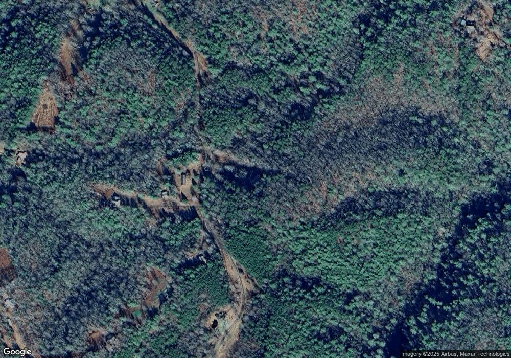
453 Raper Rd Farner, TN 37333
Estimated Value: $124,000 - $246,000
3
Beds
1
Bath
1,344
Sq Ft
$148/Sq Ft
Est. Value
About This Home
This home is located at 453 Raper Rd, Farner, TN 37333 and is currently estimated at $199,506, approximately $148 per square foot. 453 Raper Rd is a home located in Polk County.
Ownership History
Date
Name
Owned For
Owner Type
Purchase Details
Closed on
Aug 19, 2019
Sold by
Ingle Ann R
Bought by
Payne Randall and Payne Elizabeth
Current Estimated Value
Home Financials for this Owner
Home Financials are based on the most recent Mortgage that was taken out on this home.
Original Mortgage
$120,000
Outstanding Balance
$104,641
Interest Rate
3.7%
Mortgage Type
New Conventional
Estimated Equity
$94,865
Purchase Details
Closed on
Feb 21, 2001
Purchase Details
Closed on
Nov 22, 1985
Bought by
Ingle Ann R and Ingle Gilbert H
Purchase Details
Closed on
Jan 1, 1978
Purchase Details
Closed on
Apr 21, 1977
Create a Home Valuation Report for This Property
The Home Valuation Report is an in-depth analysis detailing your home's value as well as a comparison with similar homes in the area
Home Values in the Area
Average Home Value in this Area
Purchase History
| Date | Buyer | Sale Price | Title Company |
|---|---|---|---|
| Payne Randall | $120,000 | None Available | |
| -- | $6,000 | -- | |
| Ingle Ann R | -- | -- | |
| -- | -- | -- | |
| -- | -- | -- |
Source: Public Records
Mortgage History
| Date | Status | Borrower | Loan Amount |
|---|---|---|---|
| Open | Payne Randall | $120,000 |
Source: Public Records
Tax History Compared to Growth
Tax History
| Year | Tax Paid | Tax Assessment Tax Assessment Total Assessment is a certain percentage of the fair market value that is determined by local assessors to be the total taxable value of land and additions on the property. | Land | Improvement |
|---|---|---|---|---|
| 2025 | $728 | $43,075 | $5,100 | $37,975 |
| 2024 | $728 | $43,075 | $5,100 | $37,975 |
| 2023 | $728 | $43,075 | $0 | $0 |
| 2022 | $563 | $22,425 | $3,025 | $19,400 |
| 2021 | $563 | $22,425 | $3,025 | $19,400 |
| 2020 | $563 | $22,425 | $3,025 | $19,400 |
| 2019 | $563 | $22,425 | $3,025 | $19,400 |
| 2018 | $563 | $22,425 | $3,025 | $19,400 |
| 2017 | $591 | $23,450 | $3,025 | $20,425 |
| 2016 | $563 | $23,450 | $3,025 | $20,425 |
| 2015 | $563 | $23,450 | $3,025 | $20,425 |
| 2014 | $563 | $23,444 | $0 | $0 |
Source: Public Records
Map
Nearby Homes
- 989 Laurel Branch Rd
- 476 Appalachia Dam Rd
- 969 Mountain Vista Rd
- 265 Iron Stone Ln
- 00 Nature Valley Trail
- 000 Nature Valley Trail
- 55 Camp Creek Rd
- 600 Berry Patch Rd
- 0 Tbd Hwy 68
- 82 Magnolia Ln
- 565 Cross Creek Ln
- 1394 Camp Creek Rd
- 371 Wilderness Lake Dr
- 12625 N Carolina 294
- 29 Lake Pointe Dr
- 92 Marion Adams Rd
- 865 Camp Creek Rd
- 5077 Highway 68
- 5077 Tennessee 68
- 986 Croft Chapel Rd
- 460 Raper Rd
- 494 Raper Rd
- 599 Raper Rd
- 344 Raper Rd
- 364 Raper Rd
- 6148 Highway 68
- 574 Raper Rd
- 0 Raper Rd
- 955 Laurel Branch Rd
- 381 Laurel Branch Rd
- 953 Laurel Branch Rd
- 6000 Highway 68
- 251 Raper Rd
- 6145 Highway 68
- TBD Laurel Branch Rd
- LOT13 Laurel Branch Rd
- LOT4 Laurel Branch Rd
- LOT3 Laurel Branch Rd
- LOT2 Laurel Branch Rd
- LOT 3 Laurel Branch Rd
