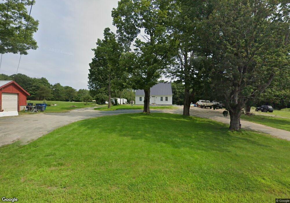
453 Us Route 4 Canaan, NH 03741
Estimated Value: $443,000 - $608,726
3
Beds
2
Baths
2,877
Sq Ft
$173/Sq Ft
Est. Value
About This Home
This home is located at 453 Us Route 4, Canaan, NH 03741 and is currently estimated at $498,242, approximately $173 per square foot. 453 Us Route 4 is a home located in Grafton County with nearby schools including Canaan Elementary School, Indian River School, and Mascoma Valley Regional High School.
Ownership History
Date
Name
Owned For
Owner Type
Purchase Details
Closed on
Nov 21, 2019
Sold by
Johnson David N and Johnson Deborah A
Bought by
Plumley David A and Plumley Rachel N
Current Estimated Value
Home Financials for this Owner
Home Financials are based on the most recent Mortgage that was taken out on this home.
Original Mortgage
$120,000
Outstanding Balance
$105,569
Interest Rate
3.6%
Mortgage Type
Purchase Money Mortgage
Estimated Equity
$392,673
Create a Home Valuation Report for This Property
The Home Valuation Report is an in-depth analysis detailing your home's value as well as a comparison with similar homes in the area
Home Values in the Area
Average Home Value in this Area
Purchase History
| Date | Buyer | Sale Price | Title Company |
|---|---|---|---|
| Plumley David A | $150,000 | -- |
Source: Public Records
Mortgage History
| Date | Status | Borrower | Loan Amount |
|---|---|---|---|
| Open | Plumley David A | $120,000 |
Source: Public Records
Tax History Compared to Growth
Tax History
| Year | Tax Paid | Tax Assessment Tax Assessment Total Assessment is a certain percentage of the fair market value that is determined by local assessors to be the total taxable value of land and additions on the property. | Land | Improvement |
|---|---|---|---|---|
| 2024 | $9,426 | $319,189 | $68,389 | $250,800 |
| 2023 | $7,582 | $279,259 | $68,659 | $210,600 |
| 2022 | $2,727 | $100,424 | $69,424 | $31,000 |
| 2021 | $5,337 | $199,890 | $69,590 | $130,300 |
| 2020 | $4,335 | $126,026 | $49,626 | $76,400 |
| 2019 | $4,423 | $134,326 | $49,626 | $84,700 |
| 2018 | $4,335 | $134,326 | $49,626 | $84,700 |
| 2017 | $4,371 | $137,675 | $49,875 | $87,800 |
| 2016 | $4,333 | $137,679 | $49,879 | $87,800 |
| 2015 | $3,818 | $126,147 | $42,947 | $83,200 |
| 2014 | $3,519 | $126,009 | $56,309 | $69,700 |
| 2013 | $3,172 | $126,009 | $56,309 | $69,700 |
Source: Public Records
Map
Nearby Homes
- 0 Potato Rd Unit 75A
- 00 Canaan St Unit 39B
- 00 Canaan St Unit 39A
- 532 Canaan St
- 24 Granite Way
- 0 Lovejoy Brook Rd
- 25 Rogers Way
- 33 Bruce Rd
- 0 US Route 4 Unit 34 5038886
- 0 US Route 4 Unit 94
- 208 Grafton Turnpike Rd
- 453 Rt 4 Dr
- 35 Canaan St
- 25 Union St
- lot 9 Strawbrook Ln
- 47 Nh Route 118
- 7 Flanders St
- 00 Derush Rd Unit 2
- X Whispering Winds Way
- 20 Bonardi Dr