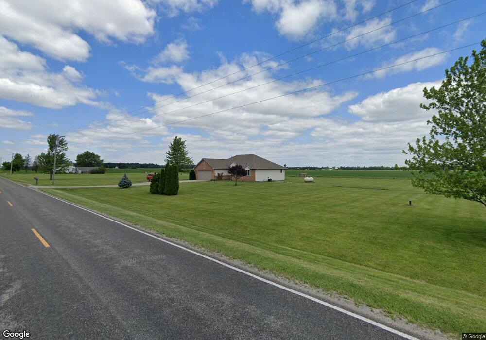
4530 County Road 10 Wauseon, OH 43567
Estimated Value: $263,000 - $269,497
3
Beds
2
Baths
1,444
Sq Ft
$184/Sq Ft
Est. Value
About This Home
This home is located at 4530 County Road 10, Wauseon, OH 43567 and is currently estimated at $266,374, approximately $184 per square foot. 4530 County Road 10 is a home located in Fulton County with nearby schools including Delta Elementary School, Pike-Delta-York Middle School, and Pike-Delta-York High School.
Ownership History
Date
Name
Owned For
Owner Type
Purchase Details
Closed on
Aug 27, 2004
Sold by
Brown James W and Brown Laura A
Bought by
Boulis Steve E
Current Estimated Value
Home Financials for this Owner
Home Financials are based on the most recent Mortgage that was taken out on this home.
Original Mortgage
$147,000
Outstanding Balance
$68,517
Interest Rate
5%
Mortgage Type
New Conventional
Estimated Equity
$197,857
Create a Home Valuation Report for This Property
The Home Valuation Report is an in-depth analysis detailing your home's value as well as a comparison with similar homes in the area
Home Values in the Area
Average Home Value in this Area
Purchase History
| Date | Buyer | Sale Price | Title Company |
|---|---|---|---|
| Boulis Steve E | $165,000 | -- |
Source: Public Records
Mortgage History
| Date | Status | Borrower | Loan Amount |
|---|---|---|---|
| Open | Boulis Steve E | $147,000 |
Source: Public Records
Tax History Compared to Growth
Tax History
| Year | Tax Paid | Tax Assessment Tax Assessment Total Assessment is a certain percentage of the fair market value that is determined by local assessors to be the total taxable value of land and additions on the property. | Land | Improvement |
|---|---|---|---|---|
| 2024 | $2,892 | $72,800 | $11,410 | $61,390 |
| 2023 | $2,903 | $72,800 | $11,410 | $61,390 |
| 2022 | $2,998 | $58,630 | $9,520 | $49,110 |
| 2021 | $3,082 | $58,630 | $9,520 | $49,110 |
| 2020 | $3,108 | $58,630 | $9,520 | $49,110 |
| 2019 | $2,593 | $51,040 | $8,860 | $42,180 |
| 2018 | $2,494 | $51,040 | $8,860 | $42,180 |
| 2017 | $2,464 | $51,040 | $8,860 | $42,180 |
| 2016 | $2,413 | $47,190 | $8,860 | $38,330 |
| 2015 | $2,300 | $47,190 | $8,860 | $38,330 |
| 2014 | $2,296 | $47,190 | $8,860 | $38,330 |
| 2013 | $2,420 | $50,200 | $9,070 | $41,130 |
Source: Public Records
Map
Nearby Homes
- 2872 County Road 11
- 7373 County Road 12
- 1058 Seneca Dr
- 1066 Seneca Dr
- 1090 Seneca Dr
- 1062 Seneca Dr
- Integrity 1830 Plan at Arrowhead Trails
- integrity 2280 Plan at Arrowhead Trails
- Integrity 2080 Plan at Arrowhead Trails
- 421 Providence St
- 201 Elmwood Ave
- 518 Providence St
- 7620 County Road 12
- 911 Doris Dr
- 207 Wood St
- 308 Monroe St
- 1209 Apache Dr
- 303 Eastwood St
- 00 Glenwood
- 0 Glenwood Unit 6124946
- 4616 County Road 10
- 4450 County Road 10
- 9905 County Road E
- 10056 County Road E Unit 18-1
- 0 Co Rd E Lot 2
- 0
- 9945 County Road Ef
- 9581 County Road E Unit 102
- 9581 County Road E
- 9621 County Road E
- 4880 County Road 10 2
- 10270 County Road D
- 10418 County Road E
- 10483 County Road E
- 10487 County Rd E
- 3850 County Road 10
- 9427 County Road E
- 10512 County Rd E
- 10512 County Road E
- 9364 County Road D