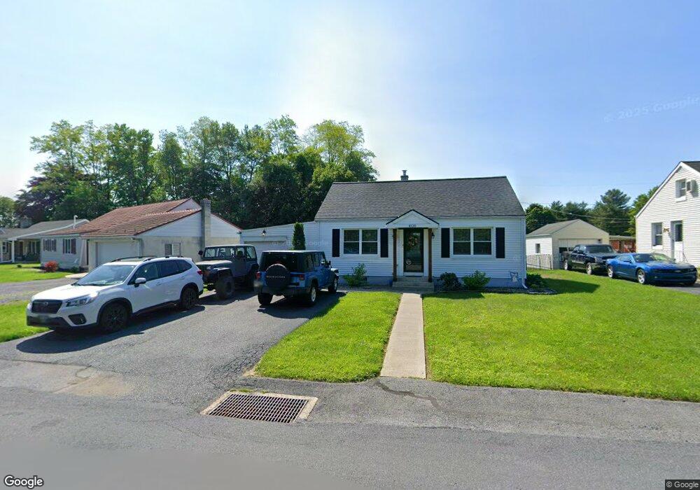
4530 Daisy Ave Orefield, PA 18069
Estimated Value: $268,373 - $317,000
3
Beds
1
Bath
1,330
Sq Ft
$221/Sq Ft
Est. Value
About This Home
This home is located at 4530 Daisy Ave, Orefield, PA 18069 and is currently estimated at $294,593, approximately $221 per square foot. 4530 Daisy Ave is a home located in Lehigh County with nearby schools including Schnecksville School, Orefield Middle School, and Parkland High School.
Ownership History
Date
Name
Owned For
Owner Type
Purchase Details
Closed on
Jan 26, 2018
Sold by
Solt Karen A
Bought by
Getz Jonathan M and Moyer Brandt P
Current Estimated Value
Home Financials for this Owner
Home Financials are based on the most recent Mortgage that was taken out on this home.
Original Mortgage
$154,660
Outstanding Balance
$130,785
Interest Rate
3.93%
Mortgage Type
New Conventional
Estimated Equity
$163,808
Purchase Details
Closed on
Nov 16, 1994
Sold by
Meckes Russell C Estate
Bought by
Rigolo Lisa
Create a Home Valuation Report for This Property
The Home Valuation Report is an in-depth analysis detailing your home's value as well as a comparison with similar homes in the area
Home Values in the Area
Average Home Value in this Area
Purchase History
| Date | Buyer | Sale Price | Title Company |
|---|---|---|---|
| Getz Jonathan M | $160,000 | First American Mortgage Solu | |
| Rigolo Lisa | $76,000 | -- |
Source: Public Records
Mortgage History
| Date | Status | Borrower | Loan Amount |
|---|---|---|---|
| Open | Getz Jonathan M | $154,660 |
Source: Public Records
Tax History
| Year | Tax Paid | Tax Assessment Tax Assessment Total Assessment is a certain percentage of the fair market value that is determined by local assessors to be the total taxable value of land and additions on the property. | Land | Improvement |
|---|---|---|---|---|
| 2025 | $2,735 | $123,200 | $31,100 | $92,100 |
| 2024 | $2,572 | $123,200 | $31,100 | $92,100 |
| 2023 | $2,499 | $123,200 | $31,100 | $92,100 |
| 2022 | $2,487 | $123,200 | $92,100 | $31,100 |
| 2021 | $2,487 | $123,200 | $31,100 | $92,100 |
| 2020 | $2,487 | $123,200 | $31,100 | $92,100 |
| 2019 | $2,422 | $123,200 | $31,100 | $92,100 |
| 2018 | $2,374 | $123,200 | $31,100 | $92,100 |
| 2017 | $2,340 | $123,200 | $31,100 | $92,100 |
| 2016 | $1,734 | $123,200 | $31,100 | $92,100 |
| 2015 | -- | $123,200 | $31,100 | $92,100 |
| 2014 | -- | $123,200 | $31,100 | $92,100 |
Source: Public Records
Map
Nearby Homes
- 4403 Wolfs Crossing Rd
- 3465 Wolf Pack Dr Unit 162
- 3486 Lil Wolf Dr
- 3620 Lil Wolf Cir
- 2786 Stadium Dr
- 3955 Coplay Creek Rd
- 4131 Orefield Rd
- 2695 Apple Valley Estates Dr
- 4377 Astor Dr
- 2507 Rachael Ln
- 2213 Village Rd
- 4828 Huckleberry Rd
- 5934 Kernsville Rd
- 4473 Valley Green Dr Unit 38
- 4482 Valley Green Dr Unit 37
- 4497 Valley Green Dr Unit 41
- 4498 Valley Green Dr Unit 34
- 4059 Mauch Chunk Rd
- 2178 Wehr Mill Rd
- 5037 Lilac Dr
Your Personal Tour Guide
Ask me questions while you tour the home.