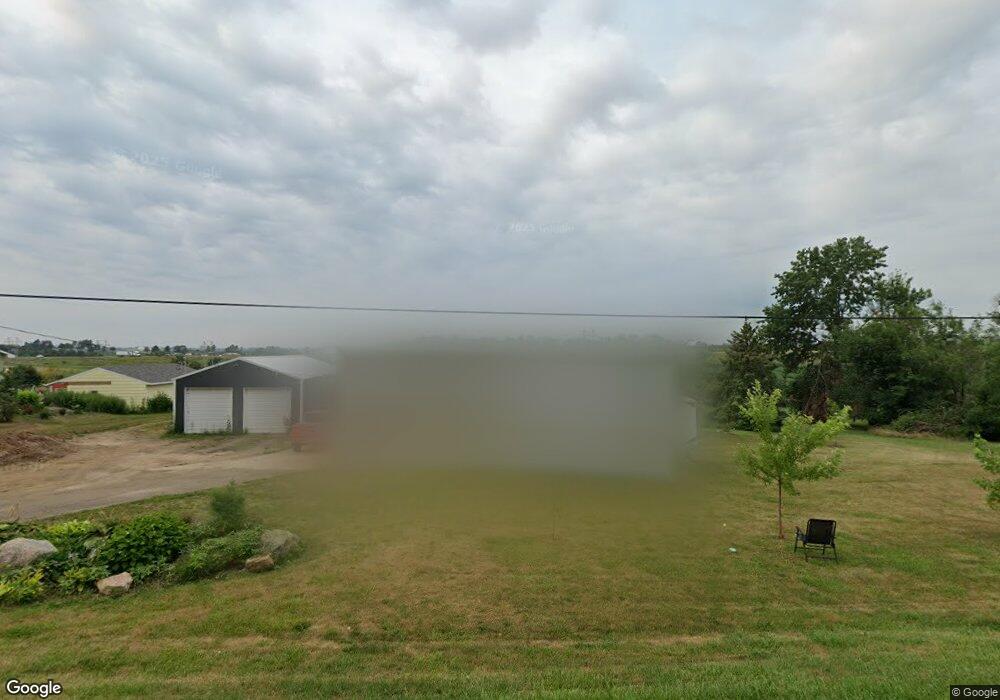
4531 33rd Ave SW Cedar Rapids, IA 52404
Estimated Value: $219,000 - $308,000
3
Beds
3
Baths
960
Sq Ft
$257/Sq Ft
Est. Value
About This Home
This home is located at 4531 33rd Ave SW, Cedar Rapids, IA 52404 and is currently estimated at $246,751, approximately $257 per square foot. 4531 33rd Ave SW is a home located in Linn County with nearby schools including Prairie Crest Elementary School, Prairie View Elementary School, and Prairie Ridge Elementary School.
Ownership History
Date
Name
Owned For
Owner Type
Purchase Details
Closed on
Apr 29, 2005
Sold by
Jordan Michael E and Jordan Lorraine V
Bought by
Carter Christopher B and Hanzlik Kendra L
Current Estimated Value
Home Financials for this Owner
Home Financials are based on the most recent Mortgage that was taken out on this home.
Original Mortgage
$118,750
Outstanding Balance
$62,750
Interest Rate
6.05%
Mortgage Type
Fannie Mae Freddie Mac
Estimated Equity
$184,001
Create a Home Valuation Report for This Property
The Home Valuation Report is an in-depth analysis detailing your home's value as well as a comparison with similar homes in the area
Home Values in the Area
Average Home Value in this Area
Purchase History
| Date | Buyer | Sale Price | Title Company |
|---|---|---|---|
| Carter Christopher B | $124,500 | -- |
Source: Public Records
Mortgage History
| Date | Status | Borrower | Loan Amount |
|---|---|---|---|
| Open | Carter Christopher B | $118,750 |
Source: Public Records
Tax History Compared to Growth
Tax History
| Year | Tax Paid | Tax Assessment Tax Assessment Total Assessment is a certain percentage of the fair market value that is determined by local assessors to be the total taxable value of land and additions on the property. | Land | Improvement |
|---|---|---|---|---|
| 2025 | $3,910 | $245,300 | $80,000 | $165,300 |
| 2024 | $3,620 | -- | -- | -- |
| 2023 | $3,620 | $216,800 | $60,000 | $156,800 |
| 2022 | $3,550 | $172,300 | $60,000 | $112,300 |
| 2021 | $3,706 | $172,300 | $60,000 | $112,300 |
| 2020 | $3,706 | $171,400 | $60,000 | $111,400 |
| 2019 | $3,048 | $144,400 | $45,000 | $99,400 |
| 2018 | $2,066 | $144,400 | $45,000 | $99,400 |
| 2017 | $2,106 | $142,200 | $45,000 | $97,200 |
| 2016 | $2,139 | $142,200 | $45,000 | $97,200 |
| 2015 | $2,128 | $142,200 | $45,000 | $97,200 |
| 2014 | $1,998 | $142,200 | $45,000 | $97,200 |
| 2013 | $1,874 | $142,200 | $45,000 | $97,200 |
Source: Public Records
Map
Nearby Homes
- 3110 Teton St SW
- 3118 Sequoia Dr SW
- 3112 Sequoia Dr SW
- 3032 Teton St SW
- 3026 Teton St SW
- 3024 Teton St SW
- 3011 Sequoia Dr SW
- 3107 Riviera Ct SW Unit B
- 4310 Banar Ave SW
- 2908 Riviera St SW Unit C
- 3720 Bluebird Dr SW
- 0 Williams Blvd Sw 6 47 Ac Unit 202506004
- 3711 Bluebird Dr SW
- 3606 Bluebird Dr SW
- 4937 Dostal Ct SW
- 3109 Golden Gate Ct SW
- 3115 Golden Gate Ct SW
- 5209 Dostal Dr SW
- 3045 Samuel Ct SW Unit C
- 3045 Samuel Ct SW
- 4501 33rd Ave SW
- 4551 33rd Ave SW
- 4471 33rd Ave SW
- 4451 33rd Ave SW
- 3203 Teton St SW
- 3108 Teton St SW
- 3217 Teton St SW
- 3115 Teton St SW
- 3114 Teton St SW
- 3107 Teton St SW
- 3201 Sequoia Dr SW
- 4420 Banar Ave SW
- 4418 Banar Ave SW
- 4401 33rd Ave SW
- 4408 Banar Ave SW
- 3909 Bluebird Dr SW
- 3015 Teton St SW
- 4409 Banar Ave SW
- 3233 Riviera St SW Unit A
- 3907 Bluebird Dr SW