4533 Chamberlain Ferry Rd Lincolnton, GA 30817
Estimated Value: $565,530 - $792,000
3
Beds
3
Baths
3,326
Sq Ft
$194/Sq Ft
Est. Value
About This Home
This home is located at 4533 Chamberlain Ferry Rd, Lincolnton, GA 30817 and is currently estimated at $645,133, approximately $193 per square foot. 4533 Chamberlain Ferry Rd is a home with nearby schools including Lincoln County Elementary School, Lincoln County Middle School, and Lincoln County High School.
Ownership History
Date
Name
Owned For
Owner Type
Purchase Details
Closed on
Jan 20, 2016
Sold by
Lakefront Birdies Nest Llc
Bought by
West Ralph D
Current Estimated Value
Purchase Details
Closed on
Oct 15, 2014
Sold by
Smith George Robert
Bought by
Lakefront Birdies Nest Llc
Purchase Details
Closed on
Jan 25, 2010
Sold by
United Community Bank
Bought by
Smith George Robert and Smith Doris H
Home Financials for this Owner
Home Financials are based on the most recent Mortgage that was taken out on this home.
Original Mortgage
$49,500
Interest Rate
5.02%
Purchase Details
Closed on
Dec 1, 2009
Sold by
Clark Donald E and Clark Geneve Janette
Bought by
United Community Bank
Home Financials for this Owner
Home Financials are based on the most recent Mortgage that was taken out on this home.
Original Mortgage
$49,500
Interest Rate
5.02%
Purchase Details
Closed on
Aug 6, 2002
Sold by
Clark Donald E
Bought by
Clark Donald E and Geneva Janette
Purchase Details
Closed on
Jun 4, 1974
Sold by
Penland Carl
Bought by
Clark Donald E
Create a Home Valuation Report for This Property
The Home Valuation Report is an in-depth analysis detailing your home's value as well as a comparison with similar homes in the area
Home Values in the Area
Average Home Value in this Area
Purchase History
| Date | Buyer | Sale Price | Title Company |
|---|---|---|---|
| West Ralph D | -- | -- | |
| Lakefront Birdies Nest Llc | $72,000 | -- | |
| Smith George Robert | $60,000 | -- | |
| United Community Bank | $65,500 | -- | |
| Clark Donald E | -- | -- | |
| Clark Donald E | $15,000 | -- |
Source: Public Records
Mortgage History
| Date | Status | Borrower | Loan Amount |
|---|---|---|---|
| Previous Owner | Smith George Robert | $49,500 |
Source: Public Records
Tax History Compared to Growth
Tax History
| Year | Tax Paid | Tax Assessment Tax Assessment Total Assessment is a certain percentage of the fair market value that is determined by local assessors to be the total taxable value of land and additions on the property. | Land | Improvement |
|---|---|---|---|---|
| 2025 | $5,149 | $222,440 | $14,000 | $208,440 |
| 2024 | $4,698 | $178,080 | $14,000 | $164,080 |
| 2023 | $4,266 | $178,080 | $14,000 | $164,080 |
| 2022 | $4,460 | $178,080 | $14,000 | $164,080 |
| 2021 | $5,141 | $186,480 | $14,000 | $172,480 |
| 2020 | $4,100 | $128,520 | $14,000 | $114,520 |
| 2019 | $4,581 | $137,040 | $14,000 | $123,040 |
| 2018 | $512 | $16,280 | $14,000 | $2,280 |
| 2017 | $813 | $25,880 | $14,000 | $11,880 |
| 2016 | $698 | $22,398 | $22,398 | $0 |
| 2015 | -- | $22,398 | $0 | $0 |
| 2014 | -- | $22,398 | $0 | $0 |
| 2013 | -- | $22,398 | $22,398 | $0 |
Source: Public Records
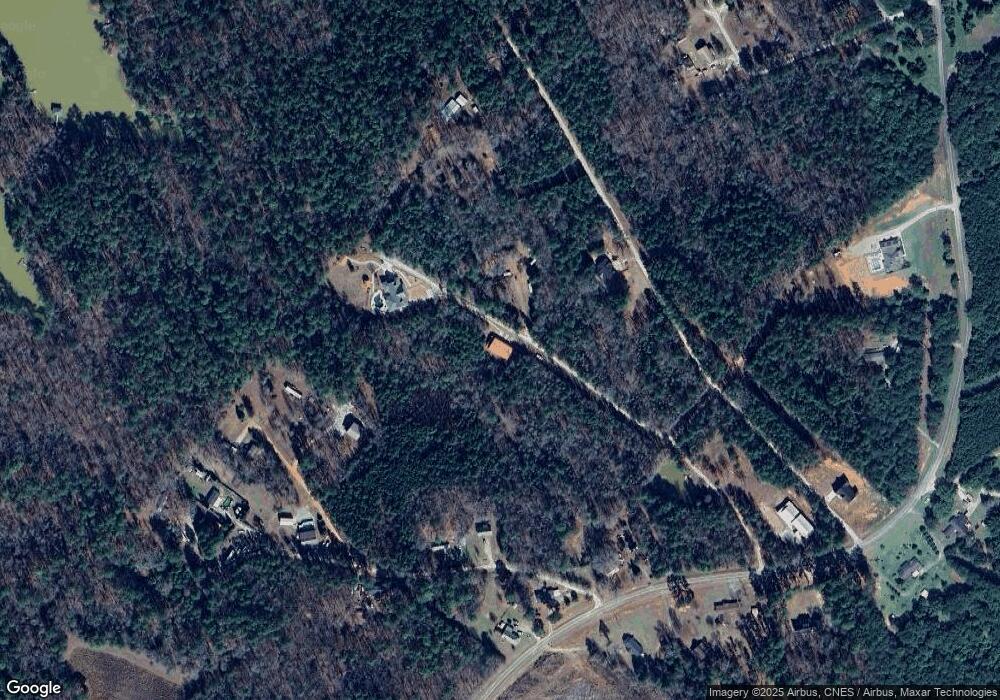
Map
Nearby Homes
- 1131 Whitstone Rd
- 1128 Whitstone Rd
- 1010 Mohawk Dr
- 1003 Mohawk Dr
- 1036 Longleaf Way
- 1199 Pawnee Dr
- 1035 Seminole Dr
- 1085 Lake Dr
- 1051 Lake Dr
- 13 Riverview Ct
- 12 Riverview Ct
- 1016 Jamaica Ave
- 203 Christmas Dr
- 1002 Saint George St
- 1-3 Long Cove Dr
- 6-3 Long Cove Dr
- 8-3 Long Cove Dr
- 5-3 Long Cove Dr
- 4-3 Long Cove Dr
- 3-3 Long Cove Dr
- 1078 Parton Dr
- 1208 Po Folks Ln
- 1127 Po Folks Ln
- 1038 Parton Dr
- 1026 Parton Dr
- 1205 Po Folks Ln
- 1085 Parton Dr
- 0 Parton Dr Unit 310950
- 0 Parton Dr Unit 469149
- 4492 Chamberlain Ferry Rd
- 4485 Chamberlain Ferry Rd
- 4519 Chamberlain Ferry Rd
- 1060 Cardinal Ln
- 1072 Cardinal Ln
- 1082 Cardinal Ln
- 0 NE Parton Dr Unit 296559
- 4567 Chamberlain Ferry Rd
- 4512 Chamberlain Ferry Rd
- 2 Chamberlain Ferry Rd
- 4550 Chamberlain Ferry Rd