4533 Cove Dr Unit B Carlsbad, CA 92008
Hedionda Point NeighborhoodEstimated Value: $853,000 - $1,150,000
2
Beds
2
Baths
1,534
Sq Ft
$637/Sq Ft
Est. Value
About This Home
This home is located at 4533 Cove Dr Unit B, Carlsbad, CA 92008 and is currently estimated at $976,840, approximately $636 per square foot. 4533 Cove Dr Unit B is a home located in San Diego County with nearby schools including Kelly Elementary School, Carlsbad High School, and Sage Creek High.
Ownership History
Date
Name
Owned For
Owner Type
Purchase Details
Closed on
Jan 8, 2025
Sold by
Davis Darren
Bought by
Darren Davis Revocable Trust and Davis
Current Estimated Value
Purchase Details
Closed on
Aug 25, 1994
Sold by
Yaple Nancy
Bought by
Davis Darren
Purchase Details
Closed on
Jun 7, 1989
Purchase Details
Closed on
Oct 11, 1985
Purchase Details
Closed on
Apr 4, 1984
Purchase Details
Closed on
Jul 18, 1983
Create a Home Valuation Report for This Property
The Home Valuation Report is an in-depth analysis detailing your home's value as well as a comparison with similar homes in the area
Home Values in the Area
Average Home Value in this Area
Purchase History
| Date | Buyer | Sale Price | Title Company |
|---|---|---|---|
| Darren Davis Revocable Trust | -- | None Listed On Document | |
| Darren Davis Revocable Trust | -- | None Listed On Document | |
| Davis Darren | $175,000 | American Title Insurance Co | |
| -- | $175,000 | -- | |
| -- | $145,000 | -- | |
| -- | $110,400 | -- | |
| -- | $138,500 | -- |
Source: Public Records
Tax History
| Year | Tax Paid | Tax Assessment Tax Assessment Total Assessment is a certain percentage of the fair market value that is determined by local assessors to be the total taxable value of land and additions on the property. | Land | Improvement |
|---|---|---|---|---|
| 2025 | $3,035 | $293,920 | $109,165 | $184,755 |
| 2024 | $3,035 | $288,158 | $107,025 | $181,133 |
| 2023 | $3,018 | $282,509 | $104,927 | $177,582 |
| 2022 | $2,970 | $276,970 | $102,870 | $174,100 |
| 2021 | $2,946 | $271,540 | $100,853 | $170,687 |
| 2020 | $2,926 | $268,756 | $99,819 | $168,937 |
| 2019 | $2,872 | $263,487 | $97,862 | $165,625 |
| 2018 | $2,750 | $258,322 | $95,944 | $162,378 |
| 2017 | $90 | $253,258 | $94,063 | $159,195 |
| 2016 | $2,605 | $248,293 | $92,219 | $156,074 |
| 2015 | $2,582 | $244,564 | $90,834 | $153,730 |
| 2014 | $2,538 | $239,774 | $89,055 | $150,719 |
Source: Public Records
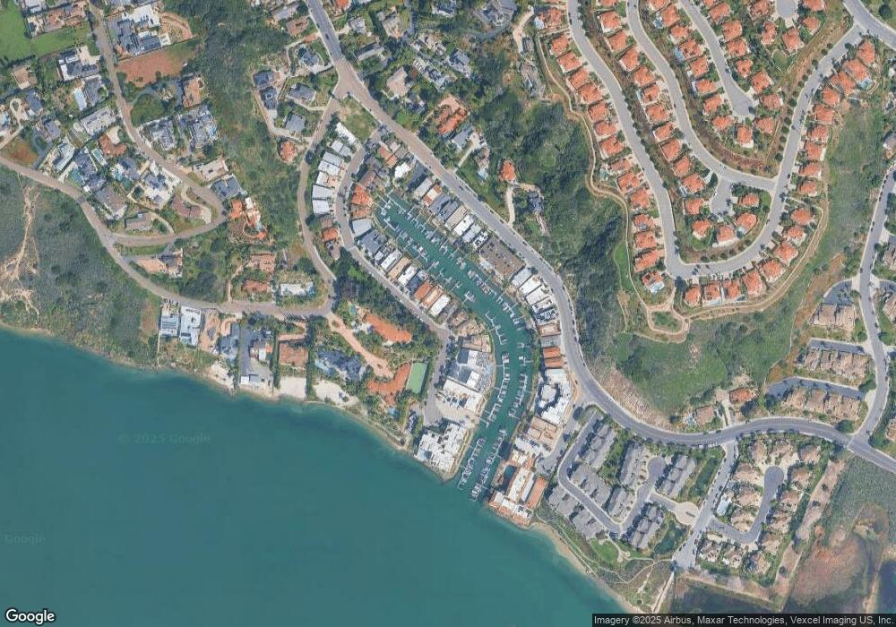
Map
Nearby Homes
- 4529 Cove Dr
- 4529 Cove Dr Unit 101
- 4705 Marina Dr Unit 7
- 4705 Marina Dr Unit 10
- 4627 Park Dr
- 4619 Park Dr
- 4747 Marina Dr Unit 23
- 4546 Cove Dr
- 4747 Bryce Cir
- 4759 Bryce Cir
- 1741 Bruce Rd
- 0 Adams St Unit OC24201399
- 4425 Sunnyhill Dr
- 4781 Argosy Ln
- 4817 Windjammer Way
- 4849 Flying Cloud Way
- 4847 Flying Cloud Way
- 4269 Hillside Dr
- 1807 Valencia Ave
- 1095 Hoover St
- 4533 Cove Dr Unit A
- 4531 Cove Dr Unit B
- 4531 Cove Dr Unit A
- 4535 Cove Dr Unit B
- 4549 Cove Dr
- 4537 Cove Dr Unit B
- 4537 Cove Dr
- 4537 Cove Dr Unit A and B
- 4537 Cove Dr Unit 2
- 4537 Cove Dr Unit 1
- 4537 Cove Drive - A Unit A
- 4537 Cove Drive - B Unit B
- 4527 Cove Dr Unit 2B
- 4529 Cove Dr Unit 1A
- 4529 Cove Dr Unit 102
- 4527 Cove Dr Unit 101
- 4527 Cove Dr Unit 100
- 4529 Cove Dr Unit 100
- 4539 Cove Dr Unit B
- 4539 Cove Dr Unit A
Your Personal Tour Guide
Ask me questions while you tour the home.