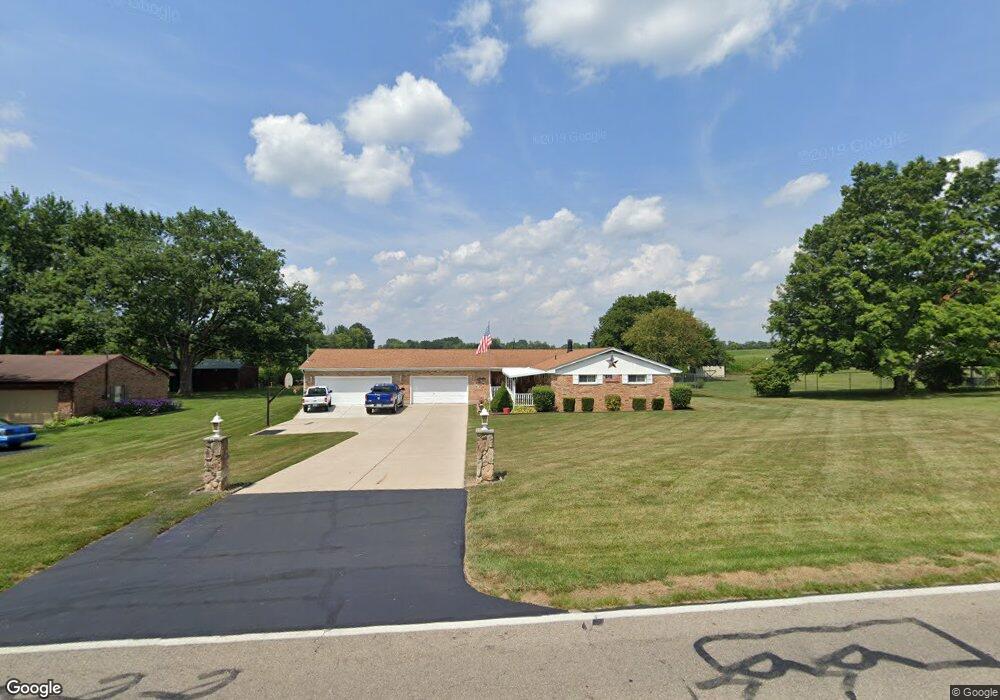
4535 Bosart Rd Springfield, OH 45503
Estimated Value: $282,000 - $294,000
2
Beds
2
Baths
1,512
Sq Ft
$191/Sq Ft
Est. Value
About This Home
This home is located at 4535 Bosart Rd, Springfield, OH 45503 and is currently estimated at $289,352, approximately $191 per square foot. 4535 Bosart Rd is a home located in Clark County with nearby schools including Rolling Hills Elementary School, Northridge Middle School, and Kenton Ridge Middle & High School.
Ownership History
Date
Name
Owned For
Owner Type
Purchase Details
Closed on
Feb 23, 2009
Sold by
Howard Donald D
Bought by
Howard Donald D and Howard Kenneth Wayne
Current Estimated Value
Home Financials for this Owner
Home Financials are based on the most recent Mortgage that was taken out on this home.
Original Mortgage
$62,500
Interest Rate
4.91%
Mortgage Type
Stand Alone Refi Refinance Of Original Loan
Purchase Details
Closed on
Sep 5, 1995
Sold by
Combs John H
Bought by
Howard Donald D
Home Financials for this Owner
Home Financials are based on the most recent Mortgage that was taken out on this home.
Original Mortgage
$74,000
Interest Rate
7.55%
Mortgage Type
New Conventional
Create a Home Valuation Report for This Property
The Home Valuation Report is an in-depth analysis detailing your home's value as well as a comparison with similar homes in the area
Home Values in the Area
Average Home Value in this Area
Purchase History
| Date | Buyer | Sale Price | Title Company |
|---|---|---|---|
| Howard Donald D | -- | Attorney | |
| Howard Donald D | $99,000 | -- |
Source: Public Records
Mortgage History
| Date | Status | Borrower | Loan Amount |
|---|---|---|---|
| Closed | Howard Donald D | $62,500 | |
| Closed | Howard Donald D | $74,000 |
Source: Public Records
Tax History Compared to Growth
Tax History
| Year | Tax Paid | Tax Assessment Tax Assessment Total Assessment is a certain percentage of the fair market value that is determined by local assessors to be the total taxable value of land and additions on the property. | Land | Improvement |
|---|---|---|---|---|
| 2024 | $3,044 | $71,970 | $14,650 | $57,320 |
| 2023 | $3,044 | $71,970 | $14,650 | $57,320 |
| 2022 | $2,886 | $68,000 | $14,650 | $53,350 |
| 2021 | $2,980 | $59,480 | $12,110 | $47,370 |
| 2020 | $2,982 | $59,480 | $12,110 | $47,370 |
| 2019 | $3,039 | $59,480 | $12,110 | $47,370 |
| 2018 | $2,653 | $49,860 | $11,140 | $38,720 |
| 2017 | $1,875 | $55,535 | $11,141 | $44,394 |
| 2016 | $1,862 | $55,535 | $11,141 | $44,394 |
| 2015 | $1,089 | $56,501 | $12,107 | $44,394 |
| 2014 | $2,179 | $56,501 | $12,107 | $44,394 |
| 2013 | $1,064 | $56,501 | $12,107 | $44,394 |
Source: Public Records
Map
Nearby Homes
- 4644 Middle Urbana Rd
- 4321 Tulane Rd
- 4849 Ashley Dr
- 3963 Covington Dr Unit 3963
- 4249 Reno Rd
- 4740 Merrimont Ave
- 4438 Tacoma St
- 4512 Ridgewood Rd E
- 1709 Thomas Dr
- 4446 Ridgewood Rd E Unit 3
- 1640 Montego Dr
- 4050 Tacoma St
- 3452 Bosart Rd
- 1461 Student Ave
- 5220 Ridgewood Rd E
- 1781 Pinehurst Dr
- 5127 Stoneridge Dr