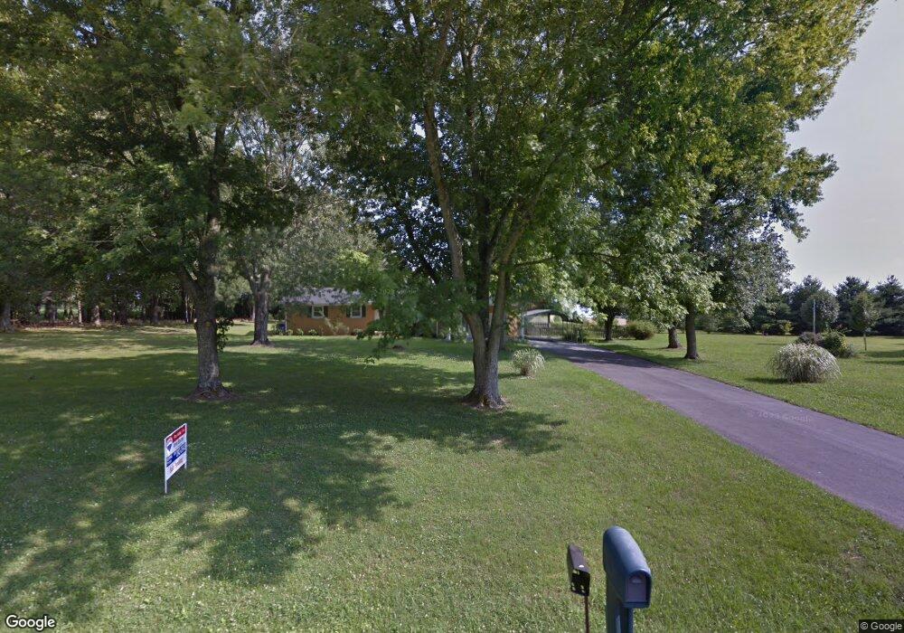
4535 Gimlet Rd Lawrenceburg, TN 38464
Estimated Value: $283,000 - $307,832
3
Beds
2
Baths
1,728
Sq Ft
$171/Sq Ft
Est. Value
About This Home
This home is located at 4535 Gimlet Rd, Lawrenceburg, TN 38464 and is currently estimated at $294,708, approximately $170 per square foot. 4535 Gimlet Rd is a home located in Lawrence County with nearby schools including Ingram Sowell Elementary School, Lawrenceburg Public Elementary School, and David Crockett Elementary School.
Ownership History
Date
Name
Owned For
Owner Type
Purchase Details
Closed on
Jul 19, 2013
Sold by
Watson Wander Ray
Bought by
Pedigo Don R and Pedigo Barbara Ann
Current Estimated Value
Home Financials for this Owner
Home Financials are based on the most recent Mortgage that was taken out on this home.
Original Mortgage
$115,000
Outstanding Balance
$83,493
Interest Rate
3.96%
Mortgage Type
VA
Estimated Equity
$211,215
Purchase Details
Closed on
Dec 15, 1995
Sold by
Watson W R
Bought by
Townsend Brian W and Townsend Dana M
Create a Home Valuation Report for This Property
The Home Valuation Report is an in-depth analysis detailing your home's value as well as a comparison with similar homes in the area
Home Values in the Area
Average Home Value in this Area
Purchase History
| Date | Buyer | Sale Price | Title Company |
|---|---|---|---|
| Pedigo Don R | $115,000 | -- | |
| Townsend Brian W | -- | -- |
Source: Public Records
Mortgage History
| Date | Status | Borrower | Loan Amount |
|---|---|---|---|
| Open | Pedigo Don R | $115,000 |
Source: Public Records
Tax History Compared to Growth
Tax History
| Year | Tax Paid | Tax Assessment Tax Assessment Total Assessment is a certain percentage of the fair market value that is determined by local assessors to be the total taxable value of land and additions on the property. | Land | Improvement |
|---|---|---|---|---|
| 2025 | $774 | $38,475 | $0 | $0 |
| 2024 | $774 | $38,475 | $5,400 | $33,075 |
| 2023 | $774 | $38,475 | $5,400 | $33,075 |
| 2022 | $774 | $38,475 | $5,400 | $33,075 |
| 2021 | $617 | $20,850 | $3,650 | $17,200 |
| 2020 | $617 | $20,850 | $3,650 | $17,200 |
| 2019 | $617 | $20,850 | $3,650 | $17,200 |
| 2018 | $617 | $20,850 | $3,650 | $17,200 |
| 2017 | $617 | $20,850 | $3,650 | $17,200 |
| 2016 | $617 | $20,850 | $3,650 | $17,200 |
| 2015 | $571 | $20,850 | $3,650 | $17,200 |
| 2014 | $565 | $20,625 | $3,650 | $16,975 |
Source: Public Records
Map
Nearby Homes
- 1950 Norton Rd
- 729 Weakley Creek Rd
- 206 State Ave
- 1194 Harmony Way
- 2600 Clanton Rd
- 0 Lightfoot Ln
- 1083 Mattox Town Rd
- 31 Community Rd
- 1088 Mattox Town Rd
- 260 Wesley Chapel Rd
- 2342 Pulaski Hwy
- 111 Grandview Dr
- 380 Lanning Rd
- 114 Hummingbird Ln
- 2073 Choates Creek Rd
- 132 Sundance Dr
- 786 Hillview Dr
- 2290 Grandview Dr
- 52 Beuerlein Cir
- 79 Bishop Rd