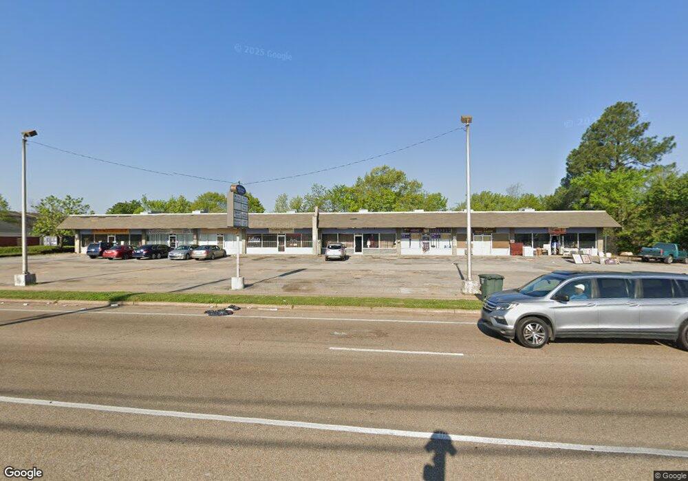
4535 Millbranch Rd Memphis, TN 38116
Whitehaven NeighborhoodEstimated Value: $1,229,216
--
Bed
1
Bath
10,050
Sq Ft
$122/Sq Ft
Est. Value
About This Home
This home is located at 4535 Millbranch Rd, Memphis, TN 38116 and is currently estimated at $1,229,216, approximately $122 per square foot. 4535 Millbranch Rd is a home located in Shelby County with nearby schools including Whitehaven Elementary STEM School, Havenview Middle School, and Whitehaven High School.
Ownership History
Date
Name
Owned For
Owner Type
Purchase Details
Closed on
Sep 29, 2006
Sold by
Loeb Bros Realty Lp
Bought by
Little Daniel J and Simmons Cheri L
Current Estimated Value
Home Financials for this Owner
Home Financials are based on the most recent Mortgage that was taken out on this home.
Original Mortgage
$561,000
Interest Rate
6.46%
Mortgage Type
Commercial
Purchase Details
Closed on
Feb 28, 2003
Sold by
Califf Cary R
Bought by
Loeb Bros Realty Lp
Create a Home Valuation Report for This Property
The Home Valuation Report is an in-depth analysis detailing your home's value as well as a comparison with similar homes in the area
Home Values in the Area
Average Home Value in this Area
Purchase History
| Date | Buyer | Sale Price | Title Company |
|---|---|---|---|
| Little Daniel J | $660,000 | Stewart Title Of Memphis Inc | |
| Loeb Bros Realty Lp | $274,000 | -- | |
| Califf Cary R | -- | -- |
Source: Public Records
Mortgage History
| Date | Status | Borrower | Loan Amount |
|---|---|---|---|
| Closed | Little Daniel J | $561,000 |
Source: Public Records
Tax History Compared to Growth
Tax History
| Year | Tax Paid | Tax Assessment Tax Assessment Total Assessment is a certain percentage of the fair market value that is determined by local assessors to be the total taxable value of land and additions on the property. | Land | Improvement |
|---|---|---|---|---|
| 2025 | $7,699 | $284,040 | $28,880 | $255,160 |
| 2024 | $7,699 | $227,120 | $24,280 | $202,840 |
| 2023 | $13,835 | $227,120 | $24,280 | $202,840 |
| 2022 | $13,835 | $227,120 | $24,280 | $202,840 |
| 2021 | $13,998 | $227,120 | $24,280 | $202,840 |
| 2020 | $13,837 | $190,960 | $24,280 | $166,680 |
| 2019 | $13,837 | $190,960 | $24,280 | $166,680 |
| 2018 | $13,837 | $190,960 | $24,280 | $166,680 |
| 2017 | $7,848 | $190,960 | $24,280 | $166,680 |
| 2016 | $8,466 | $193,720 | $0 | $0 |
| 2014 | $8,466 | $193,720 | $0 | $0 |
Source: Public Records
Map
Nearby Homes
- 1681 Janis Dr
- 4433 Paula Dr
- 1809 Grovehaven Cir Unit 8
- 4344 Paula Dr
- 4551 Tammy Ln
- 4748 Mickey Dr
- 1911 E Shelby Dr
- 4232 Ambrose Rd
- 4255 Paula Dr
- 1759 Club Green Dr Unit 67
- 1768 Second Green Dr
- 1768 Second Green Dr Unit 50
- 4905 Lochinvar Rd
- 1776 First Green Unit 21 Dr Unit 21
- 2048 Grovehaven Dr
- 4262 Balboa Cir Unit 27A
- 1278 Davidson Dr
- 1966 El Camino Ave Unit 54A
- 1534 E Raines Rd
- 4898 Dianne Dr
- 4537 Mill Stream Dr
- 4490 Millbranch Rd
- 1618 Paula Cove
- 1613 Paula Cove
- 4526 Paula Dr
- 4536 Paula Dr
- 1703 Goodhaven Dr
- 4544 Paula Dr
- 1643 Oakwood Dr
- 1614 Paula Cove
- 4516 Paula Dr
- 1635 Oakwood Dr
- 1711 Goodhaven Dr
- 1651 Oakwood Dr
- 4506 Paula Dr
- 4552 Paula Dr
- 1719 Goodhaven Dr
- 1625 Oakwood Dr
- 1659 Oakwood Dr
- 4488 Paula Dr